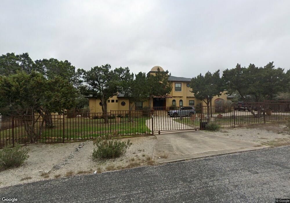
22613 E Range San Antonio, TX 78255
Cross Mountain NeighborhoodEstimated Value: $714,000 - $847,000
5
Beds
4
Baths
3,256
Sq Ft
$246/Sq Ft
Est. Value
About This Home
This home is located at 22613 E Range, San Antonio, TX 78255 and is currently estimated at $801,929, approximately $246 per square foot. 22613 E Range is a home located in Bexar County with nearby schools including Aue Elementary School, Garcia Middle School, and O'Connor High School.
Ownership History
Date
Name
Owned For
Owner Type
Purchase Details
Closed on
Feb 22, 2010
Sold by
Gonzalez David
Bought by
Stratis Michael Paul
Current Estimated Value
Home Financials for this Owner
Home Financials are based on the most recent Mortgage that was taken out on this home.
Original Mortgage
$417,000
Outstanding Balance
$276,260
Interest Rate
5.05%
Mortgage Type
New Conventional
Estimated Equity
$525,669
Purchase Details
Closed on
Apr 26, 2005
Sold by
Cimen Reha and Cimen Oya M
Bought by
Gonzalez David
Home Financials for this Owner
Home Financials are based on the most recent Mortgage that was taken out on this home.
Original Mortgage
$400,000
Interest Rate
5.93%
Mortgage Type
Construction
Create a Home Valuation Report for This Property
The Home Valuation Report is an in-depth analysis detailing your home's value as well as a comparison with similar homes in the area
Home Values in the Area
Average Home Value in this Area
Purchase History
| Date | Buyer | Sale Price | Title Company |
|---|---|---|---|
| Stratis Michael Paul | -- | Stewart Title Of San Antonio | |
| Gonzalez David | -- | Lalt |
Source: Public Records
Mortgage History
| Date | Status | Borrower | Loan Amount |
|---|---|---|---|
| Open | Stratis Michael Paul | $417,000 | |
| Previous Owner | Gonzalez David | $400,000 |
Source: Public Records
Tax History
| Year | Tax Paid | Tax Assessment Tax Assessment Total Assessment is a certain percentage of the fair market value that is determined by local assessors to be the total taxable value of land and additions on the property. | Land | Improvement |
|---|---|---|---|---|
| 2025 | $11,319 | $723,540 | $220,840 | $502,700 |
| 2024 | $11,319 | $729,370 | $220,840 | $508,530 |
| 2023 | $11,319 | $726,980 | $220,840 | $519,000 |
| 2022 | $13,122 | $660,891 | $188,810 | $517,650 |
| 2021 | $12,377 | $600,810 | $164,190 | $436,620 |
| 2020 | $11,870 | $564,000 | $136,820 | $427,180 |
| 2019 | $11,389 | $523,210 | $136,820 | $386,390 |
| 2018 | $11,074 | $508,670 | $138,470 | $370,200 |
| 2017 | $11,199 | $512,780 | $138,470 | $374,310 |
| 2016 | $10,419 | $477,060 | $138,470 | $338,590 |
| 2015 | $11,043 | $534,680 | $138,470 | $396,210 |
| 2014 | $11,043 | $508,370 | $0 | $0 |
Source: Public Records
Map
Nearby Homes
- 22202 Ravine Pass
- 22217 Ravine Pass
- 22406 White Doe Pass
- 2.119? AC ON Beartooth Pass
- 23314 Eagle Gap
- 8602 San Fidel Way
- 8619 San Fidel Way
- 8426 San Fidel Way
- 9 Park Mountain
- 23018 Prescott Falls
- 28 Park Mountain
- 8410 San Fidel Way
- 0 Cielo Vista Dr
- 23014 Crafty Ridge
- 9435 Cross Mountain Trail
- 8531 Colfax Cove
- 8523 Colfax Cove
- 8535 Colfax Cove
- 9614 Midsomer Place
- 8902 Saddle Trail
- 22606 E Range
- 9114 Fire Water
- 22619 E Range
- 22607 E Range
- 3.28 ACRES E Range
- 22629 E Range
- 9115 Fire Water
- 9108 Fire Water
- 9102 Fire Water
- 9109 Fire Water
- 22622 E Range
- 9103 Fire Water
- 22635 E Range
- 22626 E Range
- 22630 E Range
- 9227 Pony Express St
- 9221 Pony Express St
- 22634 E Range
- 9215 Pony Express St
- 22729 Central Prairie
Your Personal Tour Guide
Ask me questions while you tour the home.