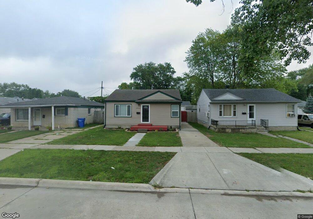
22616 Mac Arthur Blvd Warren, MI 48089
Southeast Warren NeighborhoodEstimated Value: $85,973 - $120,000
--
Bed
1
Bath
728
Sq Ft
$141/Sq Ft
Est. Value
About This Home
This home is located at 22616 Mac Arthur Blvd, Warren, MI 48089 and is currently estimated at $102,993, approximately $141 per square foot. 22616 Mac Arthur Blvd is a home located in Macomb County with nearby schools including Lincoln Middle School, Lincoln High School, and Macomb Montessori Academy.
Ownership History
Date
Name
Owned For
Owner Type
Purchase Details
Closed on
Dec 30, 2024
Sold by
Baker Francis E
Bought by
22616 Macarthur Llc
Current Estimated Value
Purchase Details
Closed on
Jan 23, 2020
Sold by
Quicken Loans Inc
Bought by
Baker Francis Edward
Purchase Details
Closed on
Aug 30, 2019
Sold by
Sterkel Gail and Sterkel Gary Lee
Bought by
Quicken Loans Inc
Purchase Details
Closed on
Feb 6, 2002
Sold by
Johnson Joseph J
Bought by
Widman Gail E
Purchase Details
Closed on
Oct 11, 1994
Sold by
Cespedes Mark
Bought by
Johnson Joseph H and Johnson Natalie
Create a Home Valuation Report for This Property
The Home Valuation Report is an in-depth analysis detailing your home's value as well as a comparison with similar homes in the area
Home Values in the Area
Average Home Value in this Area
Purchase History
| Date | Buyer | Sale Price | Title Company |
|---|---|---|---|
| 22616 Macarthur Llc | -- | None Listed On Document | |
| Baker Francis Edward | $25,200 | None Available | |
| Quicken Loans Inc | $29,250 | None Available | |
| Widman Gail E | $54,000 | -- | |
| Johnson Joseph H | $12,000 | -- |
Source: Public Records
Tax History Compared to Growth
Tax History
| Year | Tax Paid | Tax Assessment Tax Assessment Total Assessment is a certain percentage of the fair market value that is determined by local assessors to be the total taxable value of land and additions on the property. | Land | Improvement |
|---|---|---|---|---|
| 2025 | $1,471 | $34,970 | $0 | $0 |
| 2024 | $1,440 | $30,490 | $0 | $0 |
| 2023 | $1,383 | $23,330 | $0 | $0 |
| 2022 | $1,356 | $18,960 | $0 | $0 |
| 2021 | $703 | $12,700 | $0 | $0 |
| 2020 | $540 | $16,800 | $0 | $0 |
| 2019 | $527 | $14,940 | $0 | $0 |
| 2018 | $0 | $10,520 | $0 | $0 |
| 2017 | $512 | $10,310 | $1,840 | $8,470 |
| 2016 | $508 | $10,310 | $0 | $0 |
| 2015 | -- | $10,370 | $0 | $0 |
| 2012 | -- | $10,280 | $0 | $0 |
Source: Public Records
Map
Nearby Homes
- 8645 Ford Ave
- 22524 Mac Arthur Blvd
- 8701 Maxwell Ave
- 8720 Ford Ave
- 8725 Packard Ave
- 8649 Hudson Ave
- 8275 Cadillac Ave
- 8230 Maxwell Ave
- 8419 Paige Ave
- 8316 Hudson Ave
- 21833 Mac Arthur Blvd
- 8647 Chalmers Ave
- 11123 Hudson Ave
- 8702 Chalmers Ave
- 11084 Studebaker Ave
- 11004 Republic Ave
- 11012 Republic Ave
- 11060 Republic Ave
- 8636 Lozier Ave
- 8311 Toepfer Rd
- 22624 Mac Arthur Blvd
- 22608 Mac Arthur Blvd
- 22632 Mac Arthur Blvd
- 8629 Ford Ave
- 22640 Mac Arthur Blvd
- 8637 Ford Ave
- 22550 Mac Arthur Blvd
- 8630 Cadillac Ave
- 22648 Mac Arthur Blvd
- 8638 Cadillac Ave
- 22540 Mac Arthur Blvd
- 8630 Ford Ave
- 8646 Cadillac Ave
- 8653 Ford Ave
- 22532 Mac Arthur Blvd
- 8638 Ford Ave
- 8646 Ford Ave
- 8654 Cadillac Ave
- 8654 Ford Ave
- 8661 Ford Ave