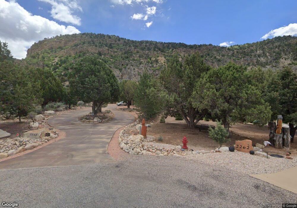
2263 Tu-Ee Trail New Harmony, UT 84757
Estimated Value: $606,000 - $698,000
3
Beds
2
Baths
1,800
Sq Ft
$368/Sq Ft
Est. Value
About This Home
This home is located at 2263 Tu-Ee Trail, New Harmony, UT 84757 and is currently estimated at $661,574, approximately $367 per square foot. 2263 Tu-Ee Trail is a home located in Iron County with nearby schools including Cedar East School, Cedar Middle School, and Cedar City High School.
Ownership History
Date
Name
Owned For
Owner Type
Purchase Details
Closed on
Jun 19, 2020
Sold by
Damiano Anthony R and Damiano Cynthia D
Bought by
Damiano Anthony R and Damiano Cynthia D
Current Estimated Value
Home Financials for this Owner
Home Financials are based on the most recent Mortgage that was taken out on this home.
Original Mortgage
$346,500
Outstanding Balance
$273,386
Interest Rate
2.8%
Mortgage Type
VA
Estimated Equity
$388,188
Purchase Details
Closed on
Oct 4, 2018
Sold by
James Terry G and James Douglas G
Bought by
Damiano Anthony R and Damiano Cynthia D
Home Financials for this Owner
Home Financials are based on the most recent Mortgage that was taken out on this home.
Original Mortgage
$337,000
Interest Rate
4.5%
Mortgage Type
VA
Create a Home Valuation Report for This Property
The Home Valuation Report is an in-depth analysis detailing your home's value as well as a comparison with similar homes in the area
Home Values in the Area
Average Home Value in this Area
Purchase History
| Date | Buyer | Sale Price | Title Company |
|---|---|---|---|
| Damiano Anthony R | -- | Amrock | |
| Damiano Anthony R | -- | Security Escrow & Title Insu |
Source: Public Records
Mortgage History
| Date | Status | Borrower | Loan Amount |
|---|---|---|---|
| Open | Damiano Anthony R | $346,500 | |
| Closed | Damiano Anthony R | $337,000 |
Source: Public Records
Tax History Compared to Growth
Tax History
| Year | Tax Paid | Tax Assessment Tax Assessment Total Assessment is a certain percentage of the fair market value that is determined by local assessors to be the total taxable value of land and additions on the property. | Land | Improvement |
|---|---|---|---|---|
| 2025 | $2,847 | $365,203 | $103,894 | $261,309 |
| 2024 | $2,646 | $339,405 | $98,945 | $240,460 |
| 2023 | $2,938 | $373,025 | $98,945 | $274,080 |
| 2022 | $2,869 | $320,660 | $84,385 | $236,275 |
| 2021 | $1,986 | $222,010 | $53,245 | $168,765 |
| 2020 | $27 | $190,520 | $43,760 | $146,760 |
| 2019 | $28 | $171,385 | $43,760 | $127,625 |
| 2018 | $1,654 | $153,405 | $38,050 | $115,355 |
| 2017 | $1,578 | $146,620 | $38,050 | $108,570 |
| 2016 | $1,608 | $134,795 | $25,250 | $109,545 |
| 2015 | $1,685 | $134,795 | $0 | $0 |
| 2014 | $2,896 | $218,570 | $0 | $0 |
Source: Public Records
Map
Nearby Homes
- 2198 S Chekshani Cliff
- 2198 Chekshani Cliffs Ln
- 2235 Chekshani Cliffs Ln Unit Lot 59
- 2235 Chekshani Cliffs Ln
- 253.26 Acres South West of Kanarra
- 1463 S Old Highway 91
- 0 Oak Valley Estates Lot 9 Unit 109813
- 4002 E 80 S
- 0.05 acre Priority Date 1961
- 0 S Allred Rd
- 269 S 100 St E
- 65 W 200 South St
- 818 S 3430 E
- 401 S 3430 E
- 23 S 1200 W
- 253.26 Acres Southwest of Kanarra
- 184 W Center St
- 3747 S Old Highway 91 Unit 294
- 3747 S Old Highway 91
- 310 Acres
- 2263 S Tu Ee Trail
- 2262 Tu-Ee Trail
- 2262 S Tu-Tee Trail
- 2262 S Tu Ee Trail
- 2251 Tu-Ee Trail
- 2251 S Tu Ee Trail
- 2254 Tu-Ee Trail
- 2217 Tu-Ee Trail
- 2217 S Tu Ee Trail
- 2230 S Chekshani Cliff
- 2230 Tu-Ee Trail
- 2230 S Tu Ee Trail
- 2230 S Chekshani Cliffs Ln
- 2189 S Tu-Ee Trail
- 2229 Chekshani Cliffs Ln
- 2167 Tu-Ee Trail
- 2167 S Tu Ee Trail
- 2167 S Tu-Ee Trail
- 2198 S Chekshani Cliffs Dr
- 2143 Tu-Ee Trail