22633 Sams Dr Edmond, OK 73025
West Edmond NeighborhoodEstimated Value: $414,133 - $470,000
3
Beds
3
Baths
2,238
Sq Ft
$199/Sq Ft
Est. Value
About This Home
This home is located at 22633 Sams Dr, Edmond, OK 73025 and is currently estimated at $445,533, approximately $199 per square foot. 22633 Sams Dr is a home located in Oklahoma County with nearby schools including Prairie Vale Elementary School, Deer Creek Middle School, and Deer Creek Intermediate School.
Ownership History
Date
Name
Owned For
Owner Type
Purchase Details
Closed on
Sep 19, 2025
Sold by
Ford Shelia L
Bought by
Death Napkin Trust and Ford
Current Estimated Value
Purchase Details
Closed on
Jun 14, 2002
Sold by
Homes By Taber Llc
Bought by
Ford Darren T and Ford Shelia L
Purchase Details
Closed on
Nov 6, 2001
Sold by
Southerly Farms Llc
Bought by
Homes By Taber Llc
Create a Home Valuation Report for This Property
The Home Valuation Report is an in-depth analysis detailing your home's value as well as a comparison with similar homes in the area
Home Values in the Area
Average Home Value in this Area
Purchase History
| Date | Buyer | Sale Price | Title Company |
|---|---|---|---|
| Death Napkin Trust | -- | None Listed On Document | |
| Ford Darren T | $170,000 | First Amer Title & Trust Co | |
| Homes By Taber Llc | $19,000 | -- |
Source: Public Records
Tax History Compared to Growth
Tax History
| Year | Tax Paid | Tax Assessment Tax Assessment Total Assessment is a certain percentage of the fair market value that is determined by local assessors to be the total taxable value of land and additions on the property. | Land | Improvement |
|---|---|---|---|---|
| 2024 | $4,258 | $36,032 | $5,191 | $30,841 |
| 2023 | $4,258 | $34,317 | $5,372 | $28,945 |
| 2022 | $3,752 | $32,683 | $5,824 | $26,859 |
| 2021 | $3,514 | $31,127 | $6,195 | $24,932 |
| 2020 | $3,693 | $29,645 | $6,370 | $23,275 |
| 2019 | $210 | $28,710 | $6,370 | $22,340 |
| 2018 | $202 | $27,610 | $0 | $0 |
| 2017 | $209 | $28,654 | $6,370 | $22,284 |
| 2016 | $3,477 | $27,685 | $5,142 | $22,543 |
| 2015 | $3,042 | $26,366 | $5,304 | $21,062 |
| 2014 | $2,927 | $25,111 | $5,373 | $19,738 |
Source: Public Records
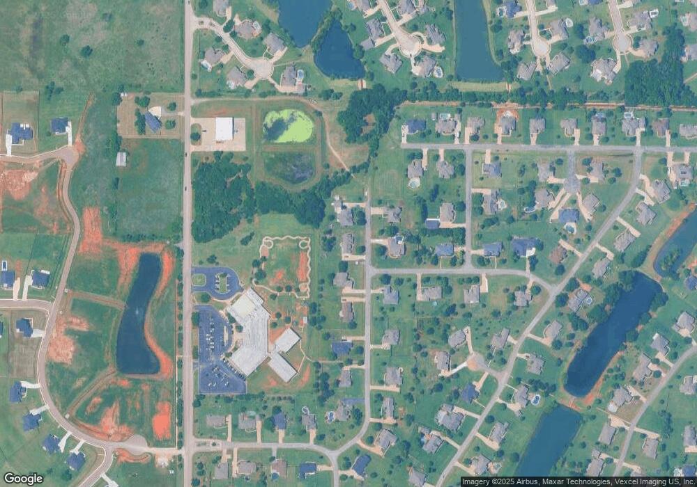
Map
Nearby Homes
- 1855 Graces Cir
- 22622 Graces Terrace
- 22301 Pine Bluff Way
- 2220 NW 227th St
- 2270 NW 227th St
- 22576 Pine Bluff Way
- 21998 Homesteaders Rd
- 21930 Homesteaders Place
- 21919 Pleasant Ridge Rd
- 2300 NW 220th Terrace
- 22645 Forester Ln
- 21877 Homesteaders Rd
- 1701 Birchfield Rd
- 2412 NW 227th St
- 21755 Long Trail
- 22057 Water Oak Cir
- 1180 Bailey Cir
- 1988 Tall Grass Cir
- 21900 N Douglas Ave
- 22090 White Pine Cir
- 22655 Sams Dr
- 22599 Sams Dr
- 1919 Caseys Ct
- 22660 Sams Dr
- 22555 Sams Dr
- 1922 Caseys Ct
- 22533 Sams Dr
- 1877 Caseys Ct
- 1900 Southerly Ridge
- 22667 Kambers Ln
- 22522 Sams Dr
- 1888 Caseys Ct
- 1886 Southerly Ridge
- 22477 Sams Dr
- 22488 Sams Dr
- 1866 Caseys Ct
- 1901 Southerly Ridge
- 1844 Graces Cir
- 1833 Caseys Ct
- 22670 Kambers Ln