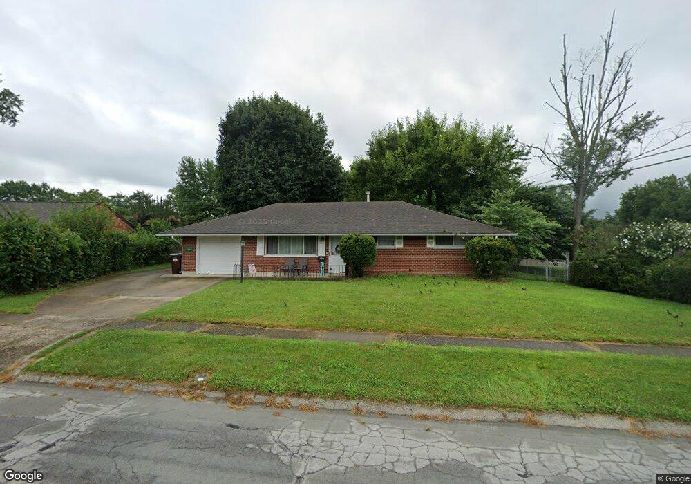
2264 Burnside Dr Dayton, OH 45439
Woodbourne-Hyde Park NeighborhoodEstimated Value: $174,000 - $205,000
3
Beds
2
Baths
1,080
Sq Ft
$172/Sq Ft
Est. Value
About This Home
This home is located at 2264 Burnside Dr, Dayton, OH 45439 and is currently estimated at $185,909, approximately $172 per square foot. 2264 Burnside Dr is a home located in Montgomery County with nearby schools including West Carrollton High School, Miami Valley Academies, and Bishop Leibold School.
Ownership History
Date
Name
Owned For
Owner Type
Purchase Details
Closed on
Jul 8, 2019
Sold by
King Carl and King Loretta F
Bought by
Kalman David J and Kalman Jillian
Current Estimated Value
Home Financials for this Owner
Home Financials are based on the most recent Mortgage that was taken out on this home.
Original Mortgage
$75,750
Interest Rate
3.8%
Mortgage Type
New Conventional
Purchase Details
Closed on
Oct 24, 2018
Sold by
Basch Dukes Harold and Basch Dukes Sabena
Bought by
King Carl and King Loretta F
Purchase Details
Closed on
Jun 15, 2016
Sold by
Kreitzer David
Bought by
Dukes Sabena Basch and Dukes Harold
Create a Home Valuation Report for This Property
The Home Valuation Report is an in-depth analysis detailing your home's value as well as a comparison with similar homes in the area
Home Values in the Area
Average Home Value in this Area
Purchase History
| Date | Buyer | Sale Price | Title Company |
|---|---|---|---|
| Kalman David J | $101,000 | Chicago Title Company Llc | |
| King Carl | $83,000 | Landmark Title Agency South | |
| Dukes Sabena Basch | $69,000 | National Title |
Source: Public Records
Mortgage History
| Date | Status | Borrower | Loan Amount |
|---|---|---|---|
| Previous Owner | Kalman David J | $75,750 |
Source: Public Records
Tax History Compared to Growth
Tax History
| Year | Tax Paid | Tax Assessment Tax Assessment Total Assessment is a certain percentage of the fair market value that is determined by local assessors to be the total taxable value of land and additions on the property. | Land | Improvement |
|---|---|---|---|---|
| 2024 | $3,872 | $54,170 | $7,820 | $46,350 |
| 2023 | $3,872 | $54,170 | $7,820 | $46,350 |
| 2022 | $3,299 | $36,350 | $5,250 | $31,100 |
| 2021 | $3,058 | $36,350 | $5,250 | $31,100 |
| 2020 | $2,331 | $36,350 | $5,250 | $31,100 |
| 2019 | $1,778 | $27,030 | $5,250 | $21,780 |
| 2018 | $2,491 | $27,030 | $5,250 | $21,780 |
| 2017 | $2,477 | $27,030 | $5,250 | $21,780 |
| 2016 | $2,457 | $26,560 | $5,250 | $21,310 |
| 2015 | $1,553 | $26,560 | $5,250 | $21,310 |
| 2014 | $1,553 | $26,560 | $5,250 | $21,310 |
| 2012 | -- | $26,870 | $7,000 | $19,870 |
Source: Public Records
Map
Nearby Homes
- 2090 Mattis Dr
- 4629 Richwood Dr
- 1952 Tait Circle Rd
- 4661 Richwood Dr
- 1905 Tait Circle Rd
- 4207 S Dixie Dr
- 4301 Tait Rd
- 2050 William Ln
- 1673 W Stroop Rd
- 4051 Ellery Ave
- 2571 Cluster Ave
- 4792 Loxley Dr
- 1692 Hillwood Dr
- 2639 Blanchard Ave
- 5084 Mays Ave
- 1955 Kresswood Cir
- 2399 Polo Park Dr
- 5239 Mallet Club Dr
- 3720 Ridgeleigh Rd Unit D
- 5048 Oak Manor Ct
- 2254 Burnside Dr
- 4360 Hannaford St
- 2282 Burnside Dr
- 4374 Hannaford St
- 2281 Kajean Ave
- 2240 Burnside Dr
- 2255 Burnside Dr
- 2267 Kajean Ave
- 2265 Burnside Dr
- 2299 Kajean Ave
- 2275 Burnside Dr
- 2235 Burnside Dr
- 2253 Kajean Ave
- 2228 Burnside Dr
- 4316 Hannaford St
- 4359 Hannaford St
- 4349 Hannaford St
- 4373 Hannaford St
- 2228 Finland Dr
- 2239 Kajean Ave