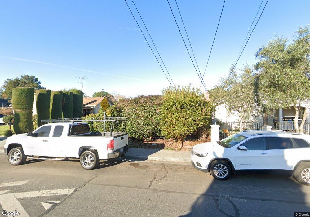
2265 Euclid Ave East Palo Alto, CA 94303
Estimated Value: $914,000 - $1,014,000
2
Beds
1
Bath
1,150
Sq Ft
$838/Sq Ft
Est. Value
About This Home
This home is located at 2265 Euclid Ave, East Palo Alto, CA 94303 and is currently estimated at $964,265, approximately $838 per square foot. 2265 Euclid Ave is a home located in San Mateo County with nearby schools including Brentwood Academy, Menlo-Atherton High School, and Aspire East Palo Alto Charter School.
Ownership History
Date
Name
Owned For
Owner Type
Purchase Details
Closed on
Mar 25, 2020
Sold by
Faye 0 Brown Trust and Brown Imani Lea
Bought by
Brown Imani Lea and Brown Troy J
Current Estimated Value
Home Financials for this Owner
Home Financials are based on the most recent Mortgage that was taken out on this home.
Original Mortgage
$357,000
Interest Rate
2.9%
Mortgage Type
New Conventional
Purchase Details
Closed on
Apr 19, 2006
Sold by
Brown Faye O
Bought by
Brown Faye O
Purchase Details
Closed on
Jun 9, 2003
Sold by
Moore Erma J and Moore Willie M
Bought by
Brown Faye O
Home Financials for this Owner
Home Financials are based on the most recent Mortgage that was taken out on this home.
Original Mortgage
$256,750
Interest Rate
5.61%
Mortgage Type
Purchase Money Mortgage
Create a Home Valuation Report for This Property
The Home Valuation Report is an in-depth analysis detailing your home's value as well as a comparison with similar homes in the area
Home Values in the Area
Average Home Value in this Area
Purchase History
| Date | Buyer | Sale Price | Title Company |
|---|---|---|---|
| Brown Imani Lea | -- | Servicelink | |
| Brown Faye O | -- | None Available | |
| Brown Faye O | $128,500 | Commonwealth Land Title Ins |
Source: Public Records
Mortgage History
| Date | Status | Borrower | Loan Amount |
|---|---|---|---|
| Previous Owner | Brown Imani Lea | $357,000 | |
| Previous Owner | Brown Faye O | $256,750 |
Source: Public Records
Tax History Compared to Growth
Tax History
| Year | Tax Paid | Tax Assessment Tax Assessment Total Assessment is a certain percentage of the fair market value that is determined by local assessors to be the total taxable value of land and additions on the property. | Land | Improvement |
|---|---|---|---|---|
| 2025 | $5,943 | $393,139 | $191,909 | $201,230 |
| 2023 | $5,943 | $377,875 | $184,458 | $193,417 |
| 2022 | $5,487 | $370,468 | $180,842 | $189,626 |
| 2021 | $5,370 | $363,206 | $177,297 | $185,909 |
| 2020 | $5,279 | $359,484 | $175,480 | $184,004 |
| 2019 | $5,289 | $352,437 | $172,040 | $180,397 |
| 2018 | $5,175 | $345,529 | $168,668 | $176,861 |
| 2017 | $4,997 | $338,756 | $165,362 | $173,394 |
| 2016 | $4,985 | $332,116 | $162,121 | $169,995 |
| 2015 | $4,923 | $327,129 | $159,687 | $167,442 |
| 2014 | $4,723 | $320,723 | $156,560 | $164,163 |
Source: Public Records
Map
Nearby Homes
- 2232 Euclid Ave
- 505 Runnymede St Unit C
- 2375 Palo Verde Ave
- 2273 Dumbarton Ave
- 2396 Glen Way
- 2112 Lincoln St
- 2340 Cooley Ave
- 2118 Addison Ave
- 801 Weeks St
- 1523 Ursula Way
- 1788 E Bayshore Rd
- 1120 Alberni St
- 1024 Laurel Ave
- 165 E Okeefe St Unit 10
- 1257 Laurel Ave
- 1002 Alberni St
- 1133 Jervis Ave
- 315 Haight St
- 1221 Westminster Ave
- 1038 Runnymede St
