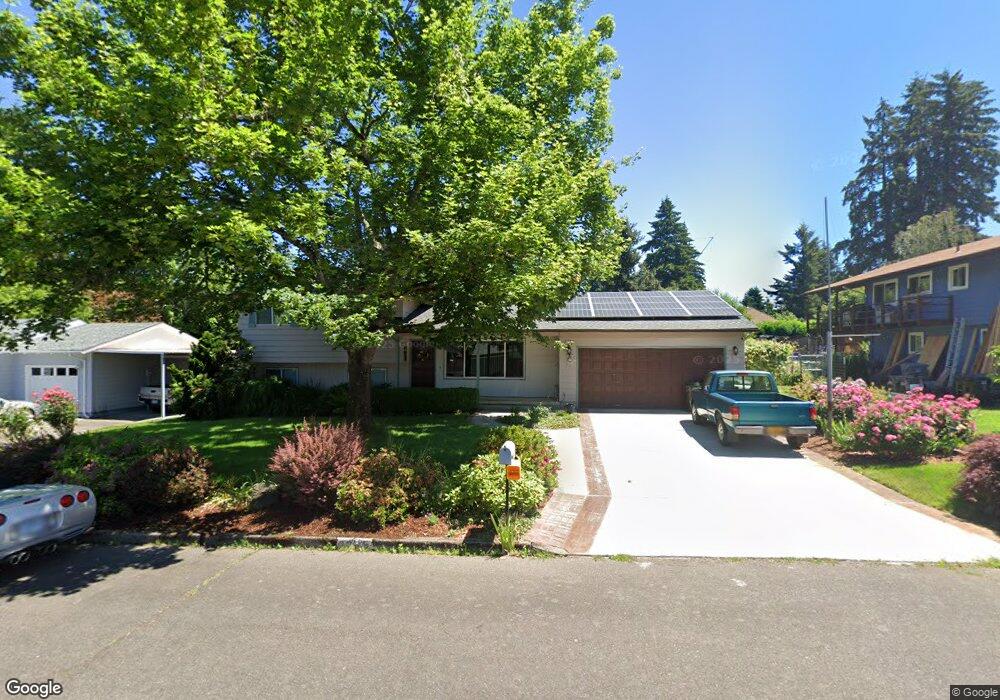
2265 Michael Dr West Linn, OR 97068
Willamette NeighborhoodEstimated Value: $567,031 - $634,000
3
Beds
2
Baths
1,800
Sq Ft
$334/Sq Ft
Est. Value
About This Home
This home is located at 2265 Michael Dr, West Linn, OR 97068 and is currently estimated at $601,008, approximately $333 per square foot. 2265 Michael Dr is a home located in Clackamas County with nearby schools including Willamette Primary School, Athey Creek Middle School, and West Linn High School.
Ownership History
Date
Name
Owned For
Owner Type
Purchase Details
Closed on
Oct 29, 2018
Sold by
Bailey Richard D
Bought by
Blacnhard Bailey Richard D and Blacnhard Bailey Shirley
Current Estimated Value
Purchase Details
Closed on
Jan 11, 2012
Sold by
Bailey Richard D
Bought by
Bailey Richard D and Richard D Bailey Trust
Purchase Details
Closed on
Dec 6, 2007
Sold by
Bailey Richard D and Bailey Shirley L
Bought by
Bailey Richard D and Bailey Shirley L
Create a Home Valuation Report for This Property
The Home Valuation Report is an in-depth analysis detailing your home's value as well as a comparison with similar homes in the area
Home Values in the Area
Average Home Value in this Area
Purchase History
| Date | Buyer | Sale Price | Title Company |
|---|---|---|---|
| Blacnhard Bailey Richard D | -- | None Available | |
| Bailey Richard D | $117,500 | None Available | |
| Bailey Richard D | -- | None Available |
Source: Public Records
Tax History
| Year | Tax Paid | Tax Assessment Tax Assessment Total Assessment is a certain percentage of the fair market value that is determined by local assessors to be the total taxable value of land and additions on the property. | Land | Improvement |
|---|---|---|---|---|
| 2025 | $4,925 | $255,555 | -- | -- |
| 2024 | $4,741 | $248,112 | -- | -- |
| 2023 | $4,741 | $240,886 | $0 | $0 |
| 2022 | $4,475 | $233,870 | $0 | $0 |
| 2021 | $4,248 | $227,059 | $0 | $0 |
| 2020 | $4,276 | $220,446 | $0 | $0 |
| 2019 | $4,078 | $214,026 | $0 | $0 |
| 2018 | $3,896 | $207,792 | $0 | $0 |
| 2017 | $3,745 | $201,740 | $0 | $0 |
| 2016 | $3,648 | $195,864 | $0 | $0 |
Source: Public Records
Map
Nearby Homes
- 1220 Farrview Ct
- 2077 Ostman Rd
- 769 Nicole Dr
- 2250 River Heights Cir
- 1082 Meek Way
- 1310 Sherri Ct
- 23044 SW Ulsky Rd
- 1745 Ostman Rd
- 1324 Farrvista Dr
- 850 Springtree Ln Unit 850
- 2395 Snowberry Ridge Ct
- 1640 Village Park Place
- 1679 Timothy Ln
- 1791 Blankenship Rd
- 4335 Summerlinn Dr
- 3135 Summerlinn Dr Unit 40
- 2536 Debok Rd
- 1306 Tamarisk Dr
- 3650 Summerlinn Dr Unit 49
- 3850 Summerlinn Dr Unit 58
- 2279 Michael Dr
- 2245 Michael Dr
- 2260 Ostman Rd
- 2270 Ostman Rd
- 2250 Ostman Rd
- 2293 Michael Dr
- 2229 Michael Dr
- 2264 Michael Dr
- 2276 Michael Dr
- 2240 Michael Dr
- 2280 Ostman Rd
- 2220 Ostman Rd
- 0 Nda Required Rd Unit 20409284
- 2288 Michael Dr
- 2345 Michael Dr
- 2211 Michael Dr
- 2222 Michael Dr
- 2190 Ostman Rd
- 2308 Ostman Rd
- 837 Wendy Ct
Your Personal Tour Guide
Ask me questions while you tour the home.