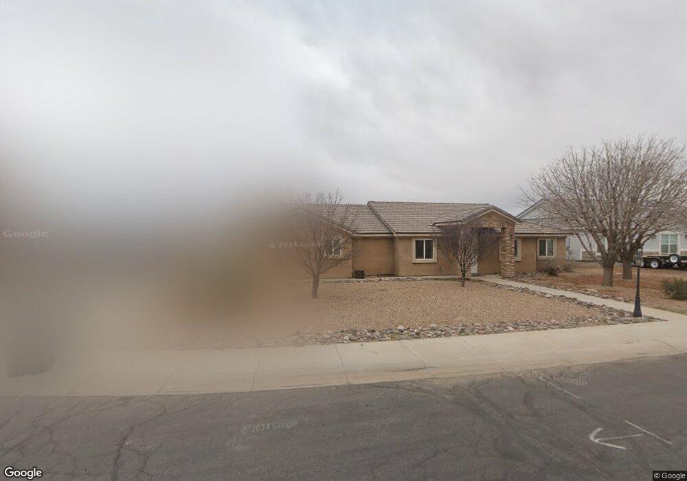
2265 S Ladybug Ave Safford, AZ 85546
Estimated Value: $444,937 - $458,000
--
Bed
--
Bath
2,098
Sq Ft
$215/Sq Ft
Est. Value
About This Home
This home is located at 2265 S Ladybug Ave, Safford, AZ 85546 and is currently estimated at $451,484, approximately $215 per square foot. 2265 S Ladybug Ave is a home with nearby schools including Dorothy Stinson School, Ruth Powell Elementary School, and Lafe Nelson School.
Ownership History
Date
Name
Owned For
Owner Type
Purchase Details
Closed on
May 27, 2025
Sold by
Roof Jean Anne and Borrego Jeremy
Bought by
Long Woodrow T and Ryan Kristina M
Current Estimated Value
Home Financials for this Owner
Home Financials are based on the most recent Mortgage that was taken out on this home.
Original Mortgage
$440,278
Outstanding Balance
$439,105
Interest Rate
6.62%
Mortgage Type
FHA
Estimated Equity
$12,379
Purchase Details
Closed on
Jul 1, 2013
Sold by
Angle Development Llc
Bought by
Weech Clint N and Weech Valerie J
Home Financials for this Owner
Home Financials are based on the most recent Mortgage that was taken out on this home.
Original Mortgage
$232,653
Interest Rate
3.48%
Mortgage Type
New Conventional
Create a Home Valuation Report for This Property
The Home Valuation Report is an in-depth analysis detailing your home's value as well as a comparison with similar homes in the area
Home Values in the Area
Average Home Value in this Area
Purchase History
| Date | Buyer | Sale Price | Title Company |
|---|---|---|---|
| Long Woodrow T | $448,400 | Pioneer Title | |
| Weech Clint N | $228,000 | Safford Title Agency Inc |
Source: Public Records
Mortgage History
| Date | Status | Borrower | Loan Amount |
|---|---|---|---|
| Open | Long Woodrow T | $440,278 | |
| Previous Owner | Weech Clint N | $232,653 |
Source: Public Records
Tax History Compared to Growth
Tax History
| Year | Tax Paid | Tax Assessment Tax Assessment Total Assessment is a certain percentage of the fair market value that is determined by local assessors to be the total taxable value of land and additions on the property. | Land | Improvement |
|---|---|---|---|---|
| 2026 | $1,901 | -- | -- | -- |
| 2025 | $1,901 | $34,920 | $3,495 | $31,425 |
| 2024 | $1,976 | $32,855 | $3,119 | $29,736 |
| 2023 | $1,976 | $26,845 | $2,333 | $24,512 |
| 2022 | $1,936 | $24,034 | $2,333 | $21,701 |
| 2021 | $2,152 | $0 | $0 | $0 |
| 2020 | $2,070 | $0 | $0 | $0 |
| 2019 | $2,178 | $0 | $0 | $0 |
| 2018 | $2,115 | $0 | $0 | $0 |
| 2017 | $1,902 | $0 | $0 | $0 |
| 2016 | $1,747 | $0 | $0 | $0 |
| 2015 | $1,595 | $0 | $0 | $0 |
Source: Public Records
Map
Nearby Homes
- 400 E Observatory St
- 417 E Lone Star Rd
- 222 E 20th St
- 315 W 24th St
- 550 W Burrell Ln
- 115 W 15th St
- 220 W 16th St
- 120 Relation St Unit 2
- 514 W 15th St
- 1204 S 1st Ave
- 1006 W Palm Cir
- 2204 S 10th Ave
- 1105 S 1st Ave
- 3354 S Us Highway 191
- 832 W Stirrup Dr
- 8th and Discovery --
- 1209 S 6th Ave
- 1302 S 7th Ave
- 1217 S 7th Ave
- 1785 Camilla Cir
- 2295 S Ladybug Ave
- 405 E Observatory St
- 290 E Observatory St
- 402 E Heliograph St
- 2345 S Ladybug Ave
- 395 E Observatory St
- 390 E Observatory St
- 392 E Heliograph St
- 375 E Observatory St
- 360 E Observatory St
- 397 E Heliograph St
- 340 E Observatory St
- 335 E Observatory St
- 407 E Heliograph St
- 315 E Observatory St
- 310 E Observatory St
- 295 E Observatory St
- 311 E Heliograph St
- 292 E Heliograph St
- 211 E Heliograph St