22655 Sams Dr Edmond, OK 73025
West Edmond NeighborhoodEstimated Value: $415,563 - $484,000
4
Beds
3
Baths
2,182
Sq Ft
$202/Sq Ft
Est. Value
About This Home
This home is located at 22655 Sams Dr, Edmond, OK 73025 and is currently estimated at $440,391, approximately $201 per square foot. 22655 Sams Dr is a home located in Oklahoma County with nearby schools including Prairie Vale Elementary School, Deer Creek Middle School, and Deer Creek Intermediate School.
Ownership History
Date
Name
Owned For
Owner Type
Purchase Details
Closed on
Aug 1, 2024
Sold by
Hutchings David C and Hutchings Andrea R
Bought by
David & Andrea Hutchings Family Trust and Hutchings
Current Estimated Value
Purchase Details
Closed on
Jun 1, 2006
Sold by
Freeman Homes Inc
Bought by
Hutchings David Charles and Hutchings Andrea Renee
Home Financials for this Owner
Home Financials are based on the most recent Mortgage that was taken out on this home.
Original Mortgage
$184,000
Interest Rate
6.58%
Mortgage Type
Fannie Mae Freddie Mac
Purchase Details
Closed on
Jun 22, 2004
Sold by
Southerly Farms Llc
Bought by
Freeman Homes Inc
Create a Home Valuation Report for This Property
The Home Valuation Report is an in-depth analysis detailing your home's value as well as a comparison with similar homes in the area
Home Values in the Area
Average Home Value in this Area
Purchase History
| Date | Buyer | Sale Price | Title Company |
|---|---|---|---|
| David & Andrea Hutchings Family Trust | -- | None Listed On Document | |
| Hutchings David Charles | $230,000 | Oklahoma City Abstract & Tit | |
| Freeman Homes Inc | $152,000 | Oklahoma City Abstract & Tit |
Source: Public Records
Mortgage History
| Date | Status | Borrower | Loan Amount |
|---|---|---|---|
| Previous Owner | Hutchings David Charles | $184,000 |
Source: Public Records
Tax History Compared to Growth
Tax History
| Year | Tax Paid | Tax Assessment Tax Assessment Total Assessment is a certain percentage of the fair market value that is determined by local assessors to be the total taxable value of land and additions on the property. | Land | Improvement |
|---|---|---|---|---|
| 2024 | $4,416 | $37,630 | $5,612 | $32,018 |
| 2023 | $4,416 | $36,534 | $5,867 | $30,667 |
| 2022 | $3,958 | $35,470 | $6,500 | $28,970 |
| 2021 | $3,775 | $34,437 | $6,815 | $27,622 |
| 2020 | $4,047 | $33,434 | $6,968 | $26,466 |
| 2019 | $237 | $32,460 | $6,970 | $25,490 |
| 2018 | $230 | $31,515 | $0 | $0 |
| 2017 | $233 | $31,899 | $7,027 | $24,872 |
| 2016 | $3,427 | $28,231 | $6,047 | $22,184 |
| 2015 | $3,047 | $27,409 | $6,126 | $21,283 |
| 2014 | $3,080 | $27,423 | $6,062 | $21,361 |
Source: Public Records
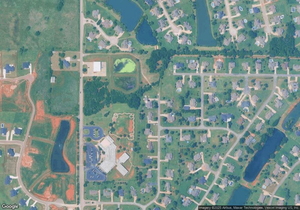
Map
Nearby Homes
- 1855 Graces Cir
- 22622 Graces Terrace
- 2220 NW 227th St
- 22301 Pine Bluff Way
- 2270 NW 227th St
- 22576 Pine Bluff Way
- 21998 Homesteaders Rd
- 21930 Homesteaders Place
- 22645 Forester Ln
- 21919 Pleasant Ridge Rd
- 2300 NW 220th Terrace
- 2412 NW 227th St
- 21877 Homesteaders Rd
- 1701 Birchfield Rd
- 21755 Long Trail
- 1180 Bailey Cir
- 22057 Water Oak Cir
- 1988 Tall Grass Cir
- 21900 N Douglas Ave
- 22090 White Pine Cir
- 22633 Sams Dr
- 22660 Sams Dr
- 22599 Sams Dr
- 1919 Caseys Ct
- 1900 Southerly Ridge
- 22555 Sams Dr
- 1922 Caseys Ct
- 22667 Kambers Ln
- 1877 Caseys Ct
- 1886 Southerly Ridge
- 1901 Southerly Ridge
- 1888 Caseys Ct
- 22533 Sams Dr
- 22522 Sams Dr
- 2017 Deer Haven Ct
- 1887 Southerly Ridge
- 1833 Caseys Ct
- 1866 Caseys Ct
- 22670 Kambers Ln
- 22865 Cove Wood Cir