Estimated Value: $371,000 - $767,132
Studio
1
Bath
1,970
Sq Ft
$292/Sq Ft
Est. Value
About This Home
This home is located at 2268 Bourne Rd, Adams, TN 37010 and is currently estimated at $576,044, approximately $292 per square foot. 2268 Bourne Rd is a home located in Robertson County with nearby schools including Jo Byrns Elementary School and Jo Byrns High School.
Ownership History
Date
Name
Owned For
Owner Type
Purchase Details
Closed on
Apr 14, 2025
Sold by
Anthony James W and Anthony Gloria H
Bought by
A & T Farms Llc
Current Estimated Value
Purchase Details
Closed on
Mar 15, 2024
Sold by
A & T Farms Llc
Bought by
Dorris Jody A
Purchase Details
Closed on
May 12, 2021
Sold by
Anthony Edwin A
Bought by
Thompson Edwin Andrew
Purchase Details
Closed on
Apr 30, 2013
Sold by
Anthony James W
Bought by
Anthony James W and Anthony Gloria H
Purchase Details
Closed on
Jul 17, 1998
Bought by
Anthony James W and Anthony Edwin A
Purchase Details
Closed on
Aug 6, 1945
Bought by
Anthony Opal
Create a Home Valuation Report for This Property
The Home Valuation Report is an in-depth analysis detailing your home's value as well as a comparison with similar homes in the area
Home Values in the Area
Average Home Value in this Area
Purchase History
| Date | Buyer | Sale Price | Title Company |
|---|---|---|---|
| A & T Farms Llc | -- | None Listed On Document | |
| Dorris Jody A | -- | None Listed On Document | |
| Dorris Jody A | -- | None Listed On Document | |
| A & T Farms Llc | -- | None Listed On Document | |
| A & T Farms Llc | -- | None Listed On Document | |
| Thompson Edwin Andrew | $445,500 | None Available | |
| Anthony James W | -- | -- | |
| Anthony James W | $81,300 | -- | |
| Anthony Opal | -- | -- |
Source: Public Records
Tax History
| Year | Tax Paid | Tax Assessment Tax Assessment Total Assessment is a certain percentage of the fair market value that is determined by local assessors to be the total taxable value of land and additions on the property. | Land | Improvement |
|---|---|---|---|---|
| 2025 | $593 | $32,950 | $31,850 | $1,100 |
| 2024 | $1,675 | $93,075 | $41,050 | $52,025 |
| 2023 | $1,675 | $93,075 | $41,050 | $52,025 |
| 2022 | $1,378 | $53,500 | $30,025 | $23,475 |
| 2021 | $1,378 | $53,500 | $30,025 | $23,475 |
| 2020 | $1,378 | $53,500 | $30,025 | $23,475 |
| 2019 | $1,378 | $53,500 | $30,025 | $23,475 |
| 2018 | $1,434 | $53,500 | $30,025 | $23,475 |
| 2017 | $1,339 | $43,400 | $24,175 | $19,225 |
| 2016 | $1,339 | $43,400 | $24,175 | $19,225 |
| 2015 | $1,285 | $43,400 | $24,175 | $19,225 |
| 2014 | $1,285 | $43,400 | $24,175 | $19,225 |
Source: Public Records
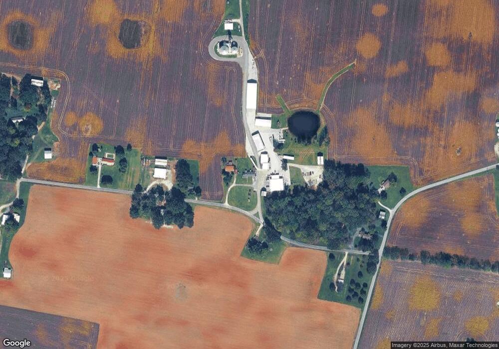
Map
Nearby Homes
- 0 W State Line Rd Unit RTC3033861
- 1097 Landing Lane Lot 7
- 1085 Landing Lane Lot 6
- 1047 Landing Lane Lot 3
- 1057 Landing Lane Lot 4
- 1073 Landing Lane Lot 5
- 1035 Landing Lane Lot 2
- 1015 Landing Lane Lot 1
- 205 Maple St
- 7898 Highway 41 N
- 230 Woodruff Rd
- 10 Sturgeon Creek Rd
- 8 Sturgeon Creek Rd
- 12 Sturgeon Creek Rd
- 0 Sturgeon Creek Rd Unit lot 6 22993058
- 0 Sturgeon Creek Rd Unit lot 7 22993433
- 0 Sturgeon Creek Rd Unit lot 8 22993442
- 7 Sturgeon Creek Rd
- 0 Sturgeon Creek Rd Unit lot 12 22994134
- 1986 Route 76
- 2262 Bourne Rd
- 2254 Bourne Rd
- 2269 Bourne Rd
- 2269 Bourne Rd
- 6007 Keysburg Rd
- 5980 Keysburg Rd
- 2232 Bourne Rd
- 5964 Keysburg Rd
- 2209 Bourne Rd
- 2208 Bourne Rd
- 6037 Keysburg Rd
- 2184 Bourne Rd
- 5915 Keysburg Rd
- 5911 Keysburg Rd
- 3688 Hugh Gill Rd
- 3741 Hugh Gill Rd
- 3769 Hugh Gill Rd
- 2386 Hugh Gill Rd
- 2369 Hugh Gill Rd
- 2077 Bourne Rd
Your Personal Tour Guide
Ask me questions while you tour the home.