22686 McPhall Rd Armada, MI 48005
Estimated Value: $154,319 - $283,000
Studio
1
Bath
1,203
Sq Ft
$191/Sq Ft
Est. Value
About This Home
This home is located at 22686 McPhall Rd, Armada, MI 48005 and is currently estimated at $229,580, approximately $190 per square foot. 22686 McPhall Rd is a home located in Macomb County with nearby schools including Orville C. Krause Elementary School, Armada Middle School, and Armada High School.
Ownership History
Date
Name
Owned For
Owner Type
Purchase Details
Closed on
May 29, 2008
Sold by
Fredette David B and Pollock Christopher P
Bought by
Fredette David B
Current Estimated Value
Purchase Details
Closed on
Mar 5, 2008
Sold by
Fredette David B and Pollick Christopher P
Bought by
Fredette David B
Home Financials for this Owner
Home Financials are based on the most recent Mortgage that was taken out on this home.
Original Mortgage
$80,000
Interest Rate
5.74%
Mortgage Type
Purchase Money Mortgage
Purchase Details
Closed on
Nov 7, 2003
Sold by
Fredette David B and Pollock Christopher B
Bought by
Fredette David B and Pollock Christopher P
Create a Home Valuation Report for This Property
The Home Valuation Report is an in-depth analysis detailing your home's value as well as a comparison with similar homes in the area
Home Values in the Area
Average Home Value in this Area
Purchase History
| Date | Buyer | Sale Price | Title Company |
|---|---|---|---|
| Fredette David B | -- | None Available | |
| Fredette David B | -- | None Available | |
| Fredette David B | -- | -- |
Source: Public Records
Mortgage History
| Date | Status | Borrower | Loan Amount |
|---|---|---|---|
| Closed | Fredette David B | $80,000 |
Source: Public Records
Tax History
| Year | Tax Paid | Tax Assessment Tax Assessment Total Assessment is a certain percentage of the fair market value that is determined by local assessors to be the total taxable value of land and additions on the property. | Land | Improvement |
|---|---|---|---|---|
| 2025 | $895 | $68,800 | $0 | $0 |
| 2024 | $9 | $67,300 | $0 | $0 |
| 2023 | $825 | $59,400 | $0 | $0 |
| 2022 | $1,249 | $54,000 | $0 | $0 |
| 2021 | $1,214 | $52,000 | $0 | $0 |
| 2020 | $758 | $50,000 | $0 | $0 |
| 2019 | $1,007 | $41,900 | $0 | $0 |
| 2018 | $986 | $43,600 | $0 | $0 |
| 2017 | $910 | $41,000 | $7,700 | $33,300 |
| 2016 | $904 | $41,000 | $0 | $0 |
| 2015 | -- | $36,700 | $0 | $0 |
| 2011 | -- | $32,523 | $6,078 | $26,445 |
Source: Public Records
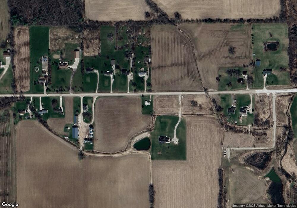
Map
Nearby Homes
- 23335 McPhall Rd
- 23100 Pratt Rd
- 76845 North Ave
- 0 Irwin Unit 20251018591
- 00 Irwin Rd
- 21830 Bordman Rd
- 75901 North Ave
- 0 Fox Ridge 1-A Unit 50200438
- 14150 Hough Rd
- 73763 Coon Creek Rd
- 2.0 Acres Vacant Lan Coon Creek Rd
- 26850 Irwin Rd
- 22601 W Main St
- 23644 E Main St
- 27780 Pratt Rd
- 00 33 Mile Rd
- 73615 Church St
- 00 Angling Rd #6 Rd
- 408 Howell Rd
- 73385 Floral St
- 22732 McPhall Rd
- Vacant McPhall
- 22675 McPhall Rd
- 22651 McPhall Rd Unit Bldg-Unit
- 22651 McPhall Rd
- 22611 McPhall Rd
- 22567 McPhall Rd
- 22850 McPhall Rd
- 23130 McPhall Rd
- 22982 McPhall Rd
- 22515 McPhall Rd
- 22500 McPhall Rd
- 22900 McPhall Rd
- 22855 McPhall Rd
- 22450 McPhall Rd
- 22455 McPhall Rd
- 22950 McPhall Rd
- 22965 McPhall Rd
- 22420 McPhall Rd
- 23100 McPhall Rd
Your Personal Tour Guide
Ask me questions while you tour the home.