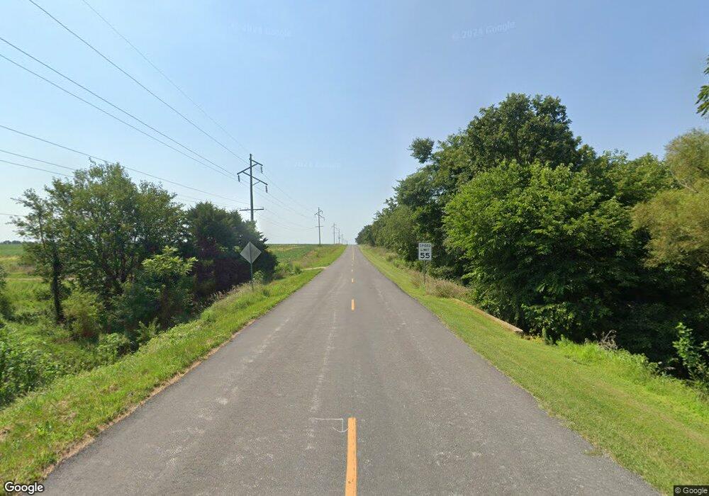
22689 State Highway P Jameson, MO 64647
Estimated Value: $291,000 - $333,825
--
Bed
--
Bath
1,800
Sq Ft
$174/Sq Ft
Est. Value
About This Home
This home is located at 22689 State Highway P, Jameson, MO 64647 and is currently estimated at $312,413, approximately $173 per square foot. 22689 State Highway P is a home with nearby schools including North Daviess High School.
Ownership History
Date
Name
Owned For
Owner Type
Purchase Details
Closed on
Apr 26, 2023
Sold by
Daviess County
Bought by
Larry D Tague And Sherry L Tague Revocable Li
Current Estimated Value
Purchase Details
Closed on
Feb 2, 2023
Sold by
Ward Sandra Lynn and Ward Sandy Lynn
Bought by
Ward Billie Michael and Ward Sandra L
Purchase Details
Closed on
Apr 23, 2007
Sold by
Tague Larry D and Tague Sherry L
Bought by
Tague Larry D and Tague Sherry L
Create a Home Valuation Report for This Property
The Home Valuation Report is an in-depth analysis detailing your home's value as well as a comparison with similar homes in the area
Home Values in the Area
Average Home Value in this Area
Purchase History
| Date | Buyer | Sale Price | Title Company |
|---|---|---|---|
| Larry D Tague And Sherry L Tague Revocable Li | -- | Daviess County Land Title | |
| Ward Billie Michael | -- | None Listed On Document | |
| Ward Billie Michael | -- | None Listed On Document | |
| Tague Larry D | -- | -- |
Source: Public Records
Tax History Compared to Growth
Tax History
| Year | Tax Paid | Tax Assessment Tax Assessment Total Assessment is a certain percentage of the fair market value that is determined by local assessors to be the total taxable value of land and additions on the property. | Land | Improvement |
|---|---|---|---|---|
| 2024 | $1,334 | $16,804 | $1,101 | $15,703 |
| 2023 | $1,316 | $16,804 | $1,101 | $15,703 |
| 2022 | $1,316 | $16,804 | $1,101 | $15,703 |
| 2021 | $1,316 | $16,804 | $1,101 | $15,703 |
| 2020 | $1,361 | $17,383 | $1,101 | $16,282 |
| 2019 | $1,322 | $17,383 | $1,101 | $16,282 |
| 2018 | $1,324 | $17,415 | $1,133 | $16,282 |
| 2017 | $1,318 | $17,415 | $1,133 | $16,282 |
| 2016 | -- | $17,415 | $1,133 | $16,282 |
| 2011 | -- | $17,030 | $0 | $0 |
Source: Public Records
Map
Nearby Homes
- Missouri 13
- 0 250th St
- 24984 P Hwy
- 202 Street
- 0 257th St
- 000 Grate Ave
- 26437 State Highway P
- Tbd State Highway P
- Tbd Hwy K Lot Unit WP001
- 22681 Missouri 13
- Tbd Hwy K Lot Unit WP001
- 0 B Hwy Unit HMS2563523
- State Highway B
- 0 N Clay St
- 202 E Corrine St
- 0 State Route B Hwy Unit HMS2569623
- State Highway B Unit Lot WP001
- 112 Westwood Dr
- 112 N Daviess St
- 311 W Grand St
- 22963 State Highway P
- 19053 State Highway 13
- 22259 State Highway Oo
- 332 Missouri 13
- 407 N Highway 13
- 0 13 Hwy Unit 1861968
- 2204 NE Merchison Ln
- 142 N Maple St
- 306 W 2nd St
- 23238 State Highway P
- 225 E 4th St
- 125 N Walnut St
- 224 N Walnut St
- 28902 Quick Ave
- 29158 122nd St
- 119 N Walnut St
- 231 2nd St
- 225 E 2nd St
- 231 E 1st St
- 206 E 3rd St
