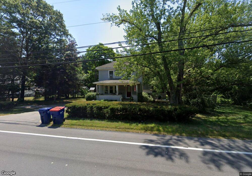
2269 Cranberry Hwy West Wareham, MA 02576
Estimated Value: $416,000 - $479,000
3
Beds
2
Baths
1,344
Sq Ft
$329/Sq Ft
Est. Value
About This Home
This home is located at 2269 Cranberry Hwy, West Wareham, MA 02576 and is currently estimated at $442,422, approximately $329 per square foot. 2269 Cranberry Hwy is a home located in Plymouth County.
Ownership History
Date
Name
Owned For
Owner Type
Purchase Details
Closed on
Sep 23, 2002
Sold by
Mcclay David and Barboza John A
Bought by
Perry Aaron D and Perry Valerie B
Current Estimated Value
Home Financials for this Owner
Home Financials are based on the most recent Mortgage that was taken out on this home.
Original Mortgage
$201,600
Interest Rate
6.36%
Mortgage Type
Purchase Money Mortgage
Create a Home Valuation Report for This Property
The Home Valuation Report is an in-depth analysis detailing your home's value as well as a comparison with similar homes in the area
Home Values in the Area
Average Home Value in this Area
Purchase History
| Date | Buyer | Sale Price | Title Company |
|---|---|---|---|
| Perry Aaron D | $207,900 | -- | |
| Perry Aaron D | $207,900 | -- |
Source: Public Records
Mortgage History
| Date | Status | Borrower | Loan Amount |
|---|---|---|---|
| Open | Perry Aaron D | $250,502 | |
| Closed | Perry Aaron D | $38,875 | |
| Closed | Perry Aaron D | $37,828 | |
| Closed | Perry Aaron D | $201,600 |
Source: Public Records
Tax History Compared to Growth
Tax History
| Year | Tax Paid | Tax Assessment Tax Assessment Total Assessment is a certain percentage of the fair market value that is determined by local assessors to be the total taxable value of land and additions on the property. | Land | Improvement |
|---|---|---|---|---|
| 2025 | $3,605 | $346,000 | $115,500 | $230,500 |
| 2024 | $3,670 | $326,800 | $91,900 | $234,900 |
| 2023 | $3,201 | $289,400 | $75,200 | $214,200 |
| 2022 | $3,201 | $242,900 | $75,200 | $167,700 |
| 2021 | $2,956 | $219,800 | $75,200 | $144,600 |
| 2020 | $2,834 | $213,700 | $75,200 | $138,500 |
| 2019 | $2,792 | $210,100 | $76,200 | $133,900 |
| 2018 | $2,597 | $190,500 | $76,200 | $114,300 |
| 2017 | $2,562 | $190,500 | $76,200 | $114,300 |
| 2016 | $2,411 | $178,200 | $76,200 | $102,000 |
| 2015 | $2,298 | $175,800 | $76,200 | $99,600 |
| 2014 | $2,208 | $171,800 | $72,400 | $99,400 |
Source: Public Records
Map
Nearby Homes
- 47 Weaver St
- 2230 Cranberry Hwy Unit 1
- 20 Gault Rd
- 51 Crest Dr
- 103 Castle Dr
- 11 Acoaxet Ln
- 27 Siesta Dr
- 4 Siesta Dr
- 563 County Rd
- 41 Longboat Rd
- 72 Papermill Rd Unit 72
- 59 Timber Ln
- 87 Great Hill Dr
- 189 Pine View Terrace
- 11 Fonseca Way
- 199 Windswept Rd
- 527 High St
- 490 High St
- 46 Helen St
- 7 Forbes Rd
- 2271 Cranberry Hwy
- 2270 Cranberry Hwy
- 2273 Cranberry Hwy
- 2272 Cranberry Hwy
- 2272 Cranberry Hwy
- 2263 Cranberry Hwy
- 2274 Cranberry Hwy
- 40 Weaver St Unit D
- 40 Weaver St Unit B
- 40 Weaver St Unit A
- 6 Aunt Maryville Ln
- 2264 Cranberry Hwy
- 2278 Cranberry Hwy
- 2266 Cranberry Hwy
- 34 Weaver St
- 45 3030 Cranberry Hwy
- 9 3030 Cranberry Hwy
- 2277 Cranberry Hwy
- 2280 Cranberry Hwy
- 45 Weaver St