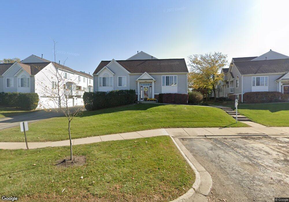
2269 Dawson Ln Unit 345 Algonquin, IL 60102
Estimated Value: $224,759 - $275,000
2
Beds
3
Baths
1,401
Sq Ft
$184/Sq Ft
Est. Value
About This Home
This home is located at 2269 Dawson Ln Unit 345, Algonquin, IL 60102 and is currently estimated at $258,190, approximately $184 per square foot. 2269 Dawson Ln Unit 345 is a home located in McHenry County with nearby schools including Westfield Community School, Lincoln Prairie Elementary School, and Harry D Jacobs High School.
Ownership History
Date
Name
Owned For
Owner Type
Purchase Details
Closed on
Apr 26, 2002
Sold by
Bonofiglio Richard A
Bought by
Efken David A and Efken Kelly A
Current Estimated Value
Home Financials for this Owner
Home Financials are based on the most recent Mortgage that was taken out on this home.
Original Mortgage
$143,100
Outstanding Balance
$61,275
Interest Rate
7.13%
Estimated Equity
$196,915
Purchase Details
Closed on
Jan 17, 1996
Sold by
Pulte Home Corp
Bought by
Bonofiglio Richard A
Home Financials for this Owner
Home Financials are based on the most recent Mortgage that was taken out on this home.
Original Mortgage
$100,000
Interest Rate
7.28%
Create a Home Valuation Report for This Property
The Home Valuation Report is an in-depth analysis detailing your home's value as well as a comparison with similar homes in the area
Purchase History
| Date | Buyer | Sale Price | Title Company |
|---|---|---|---|
| Efken David A | $159,000 | -- | |
| Bonofiglio Richard A | $129,500 | -- |
Source: Public Records
Mortgage History
| Date | Status | Borrower | Loan Amount |
|---|---|---|---|
| Open | Efken David A | $143,100 | |
| Previous Owner | Bonofiglio Richard A | $100,000 |
Source: Public Records
Tax History
| Year | Tax Paid | Tax Assessment Tax Assessment Total Assessment is a certain percentage of the fair market value that is determined by local assessors to be the total taxable value of land and additions on the property. | Land | Improvement |
|---|---|---|---|---|
| 2024 | $4,514 | $65,705 | $14,040 | $51,665 |
| 2023 | $4,250 | $58,765 | $12,557 | $46,208 |
| 2022 | $4,557 | $59,139 | $11,160 | $47,979 |
| 2021 | $4,356 | $55,095 | $10,397 | $44,698 |
| 2020 | $4,233 | $53,145 | $10,029 | $43,116 |
| 2019 | $4,120 | $50,866 | $9,599 | $41,267 |
| 2018 | $3,907 | $46,989 | $8,867 | $38,122 |
| 2017 | $3,811 | $44,266 | $8,353 | $35,913 |
| 2016 | $3,735 | $41,517 | $7,834 | $33,683 |
| 2013 | -- | $43,672 | $7,308 | $36,364 |
Source: Public Records
Map
Nearby Homes
- 2380 Dawson Ln Unit 165
- 1157 Sawmill Ln
- 681 Majestic Dr
- 760 Regal Ln
- 1920 Jester Ln
- 1820 Crofton Dr
- 700 Fairfield Ln
- 2051 Carlisle St
- 1002 Interloch Ct Unit 152
- 145 S Oakleaf Rd
- 20 Peach Tree Ct Unit 4153
- 18 Peach Tree Ct Unit 4154
- 2069 Peach Tree Ln Unit 4116
- 7 Falcon Ridge Ct
- 135 Arquilla Dr
- 601 Woods Creek Ln
- 1453 Millbrook Dr
- 14 Wander Way
- 895 Eineke Blvd
- 1431 Essex St
- 2311 Dawson Ln Unit 375
- 2275 Dawson Ln Unit 342
- 2277 Dawson Ln Unit 341
- 2261 Dawson Ln Unit 334
- 2303 Dawson Ln Unit 371
- 2271 Dawson Ln Unit 344
- 2307 Dawson Ln Unit 373
- 2309 Dawson Ln Unit 374
- 2273 Dawson Ln Unit 343
- 2313 Dawson Ln Unit 376
- 2305 Dawson Ln
- 2263 Dawson Ln Unit 335
- 2265 Dawson Ln
- 2259 Dawson Ln Unit 333
- 2267 Dawson Ln Unit 346
- 2257 Dawson Ln Unit 332
- 2255 Dawson Ln Unit 331
- 2285 Dawson Ln Unit 354
- 2287 Dawson Ln Unit 355
- 2279 Dawson Ln Unit 351
Your Personal Tour Guide
Ask me questions while you tour the home.