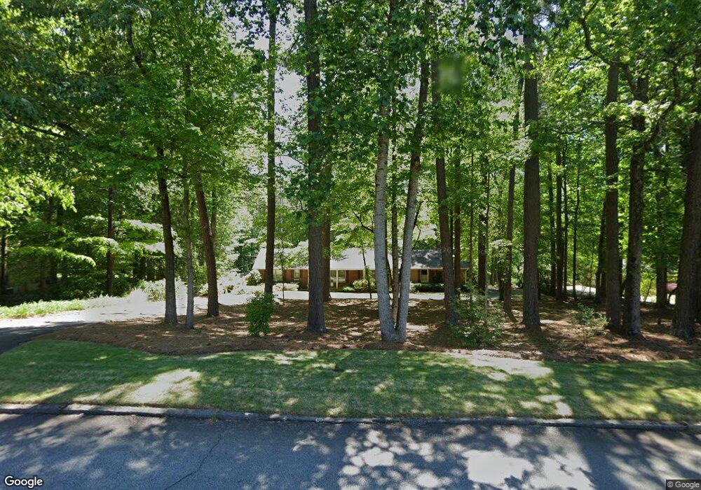
2269 Mccurdy Rd Stone Mountain, GA 30087
Estimated Value: $441,942 - $500,000
3
Beds
2
Baths
2,210
Sq Ft
$218/Sq Ft
Est. Value
About This Home
This home is located at 2269 Mccurdy Rd, Stone Mountain, GA 30087 and is currently estimated at $481,986, approximately $218 per square foot. 2269 Mccurdy Rd is a home located in DeKalb County with nearby schools including Smoke Rise Elementary School, Tucker Middle School, and Tucker High School.
Ownership History
Date
Name
Owned For
Owner Type
Purchase Details
Closed on
Mar 23, 2007
Sold by
Chiles Lucy I
Bought by
Davison Gail L
Current Estimated Value
Home Financials for this Owner
Home Financials are based on the most recent Mortgage that was taken out on this home.
Original Mortgage
$230,400
Outstanding Balance
$139,152
Interest Rate
6.22%
Mortgage Type
New Conventional
Estimated Equity
$342,834
Create a Home Valuation Report for This Property
The Home Valuation Report is an in-depth analysis detailing your home's value as well as a comparison with similar homes in the area
Home Values in the Area
Average Home Value in this Area
Purchase History
| Date | Buyer | Sale Price | Title Company |
|---|---|---|---|
| Davison Gail L | $288,000 | -- |
Source: Public Records
Mortgage History
| Date | Status | Borrower | Loan Amount |
|---|---|---|---|
| Open | Davison Gail L | $230,400 |
Source: Public Records
Tax History Compared to Growth
Tax History
| Year | Tax Paid | Tax Assessment Tax Assessment Total Assessment is a certain percentage of the fair market value that is determined by local assessors to be the total taxable value of land and additions on the property. | Land | Improvement |
|---|---|---|---|---|
| 2025 | $1,428 | $171,240 | $38,080 | $133,160 |
| 2024 | $1,508 | $165,960 | $38,080 | $127,880 |
| 2023 | $1,508 | $159,480 | $38,080 | $121,400 |
| 2022 | $1,355 | $137,080 | $26,880 | $110,200 |
| 2021 | $1,414 | $113,080 | $26,880 | $86,200 |
| 2020 | $3,529 | $104,000 | $56,040 | $47,960 |
| 2019 | $3,599 | $108,840 | $56,040 | $52,800 |
| 2018 | $3,425 | $99,480 | $56,040 | $43,440 |
| 2017 | $3,113 | $88,720 | $56,040 | $32,680 |
| 2016 | $3,615 | $106,600 | $56,040 | $50,560 |
| 2014 | $3,096 | $91,280 | $56,040 | $35,240 |
Source: Public Records
Map
Nearby Homes
- 2174 Deer Ridge Dr
- 4956 Mountclaire Rd
- 2207 Forestglade Dr
- 5211 Hugh Howell Rd
- 5169 Oxbow Rd
- 4891 Forestglade Ct Unit 6
- 4999 Antebellum Dr
- 2037 Stoneleigh Dr
- 2023 Stoneleigh Dr
- 4924 Hugh Howell Rd
- 1887 Chedworth Ct
- 5363 Rosser Rd
- 2350 Oxbow Cir
- 5401 Smoke Rise Dr
- 1722 Kanawha Trail
- 127 Roe Hampton Ln
- 5523 Bahia Mar Cir
- 2279 Mccurdy Rd
- 2265 Mccurdy Rd
- 5037 Mountclaire Rd
- 5068 Patriot Dr
- 2288 Mccurdy Rd
- 2278 Mccurdy Rd
- 2289 Mccurdy Rd
- 5088 Patriot Dr
- 5036 Mountclaire Rd
- 2112 Deer Ridge Dr
- 2270 Mccurdy Rd
- 5023 Forestglade Ct
- 0 Mountclaire Rd NE
- 5052 Patriot Dr
- 5019 Mountclaire Rd
- 2259 Mccurdy Rd
- 5104 Patriot Dr
- 5107 Hugh Howell Rd
- 2298 Mccurdy Rd
- 5129 Hugh Howell Rd