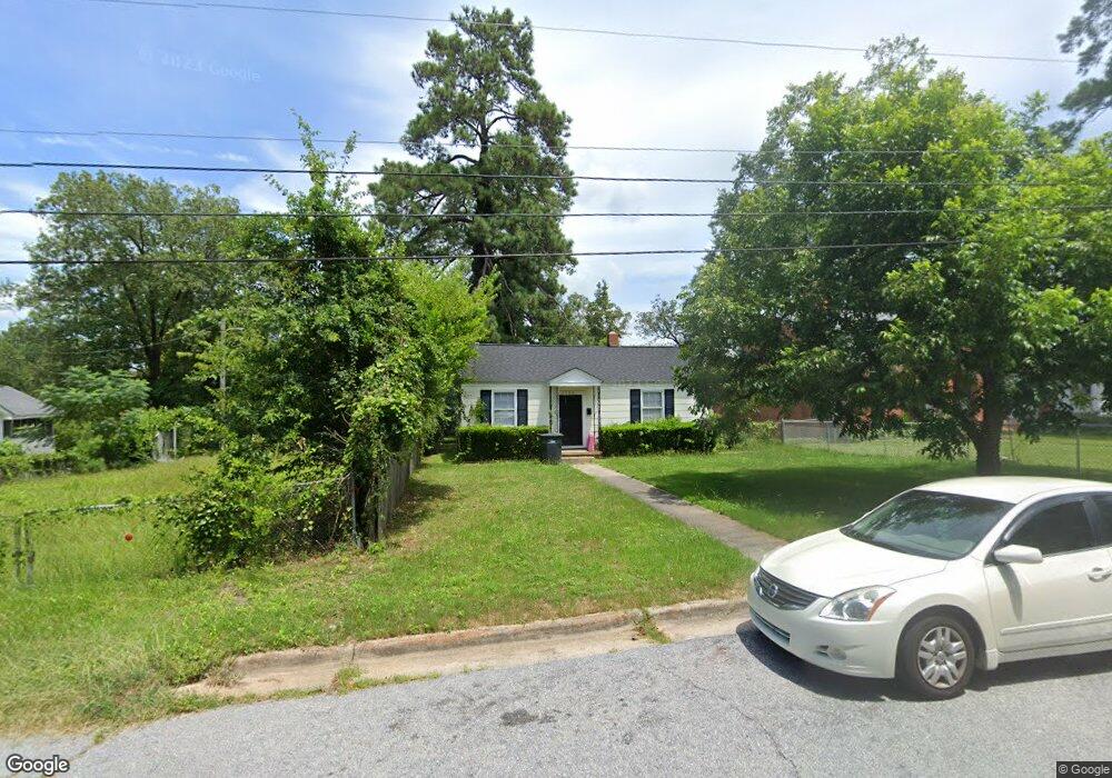
2269 Pund Ave Augusta, GA 30904
West End NeighborhoodEstimated Value: $95,000 - $175,000
3
Beds
1
Bath
960
Sq Ft
$131/Sq Ft
Est. Value
About This Home
This home is located at 2269 Pund Ave, Augusta, GA 30904 and is currently estimated at $125,343, approximately $130 per square foot. 2269 Pund Ave is a home located in Richmond County with nearby schools including A. Brian Merry Elementary School, Tutt Middle School, and Johnson Magnet.
Ownership History
Date
Name
Owned For
Owner Type
Purchase Details
Closed on
May 8, 2003
Sold by
Collier David J
Bought by
Miller Michael B and Miller Christina R
Current Estimated Value
Home Financials for this Owner
Home Financials are based on the most recent Mortgage that was taken out on this home.
Original Mortgage
$45,200
Outstanding Balance
$19,745
Interest Rate
5.86%
Mortgage Type
Purchase Money Mortgage
Estimated Equity
$105,598
Purchase Details
Closed on
Jul 8, 2002
Sold by
Murrell James L
Bought by
Collier David J
Home Financials for this Owner
Home Financials are based on the most recent Mortgage that was taken out on this home.
Original Mortgage
$23,106
Interest Rate
6.79%
Create a Home Valuation Report for This Property
The Home Valuation Report is an in-depth analysis detailing your home's value as well as a comparison with similar homes in the area
Home Values in the Area
Average Home Value in this Area
Purchase History
| Date | Buyer | Sale Price | Title Company |
|---|---|---|---|
| Miller Michael B | $56,500 | -- | |
| Collier David J | $25,000 | -- |
Source: Public Records
Mortgage History
| Date | Status | Borrower | Loan Amount |
|---|---|---|---|
| Open | Miller Michael B | $45,200 | |
| Previous Owner | Collier David J | $23,106 |
Source: Public Records
Tax History Compared to Growth
Tax History
| Year | Tax Paid | Tax Assessment Tax Assessment Total Assessment is a certain percentage of the fair market value that is determined by local assessors to be the total taxable value of land and additions on the property. | Land | Improvement |
|---|---|---|---|---|
| 2024 | $1,339 | $27,768 | $2,616 | $25,152 |
| 2023 | $1,380 | $32,528 | $2,616 | $29,912 |
| 2022 | $1,119 | $26,425 | $2,616 | $23,809 |
| 2021 | $957 | $19,250 | $2,607 | $16,643 |
| 2020 | $992 | $20,643 | $4,000 | $16,643 |
| 2019 | $1,041 | $20,643 | $4,000 | $16,643 |
| 2018 | $1,048 | $20,643 | $4,000 | $16,643 |
| 2017 | $1,044 | $20,643 | $4,000 | $16,643 |
| 2016 | $1,044 | $20,643 | $4,000 | $16,643 |
| 2015 | $1,050 | $20,643 | $4,000 | $16,643 |
| 2014 | $1,050 | $20,643 | $4,000 | $16,643 |
Source: Public Records
Map
Nearby Homes
- 250 Milledge Rd
- 404 Brookside Ct
- 415 Brookside Dr
- 2164 Telfair St
- 105 Morningside Ct
- 2203 Crestwood Dr
- 2156 Telfair St
- 2063 Broad St
- 2221 Edgewood Dr
- 542 Hickman Rd
- 2056 Telfair St
- 2025 Ellis St
- 2048 Edgar St
- 2021 Ellis St
- 2131 Gardner St
- 2006 Division St
- 2204 Gardner St
- 1940 Telfair St
- 1918 Division St Unit 3
- 707 Hickman Rd
- 2228 Ellis St
- 2267 Pund Ave
- 2265 Pund Ave
- 2275 Pund Ave
- 2263 Pund Ave
- 2203 Pund Ave
- 2277 Pund Ave
- 2201 Pund Ave
- 2204 Ellis St
- 297 Milledge Rd
- 299 Milledge Rd
- 295 Milledge Rd
- 2201 Country Club Ct
- 2203 Country Club Ct
- 2205 Country Club Ct
- 248 Milledge Rd
- 2200 Country Club Ct
- 401 Brookside Dr
- 2202 Country Club Ct
- 401 Milledge Rd