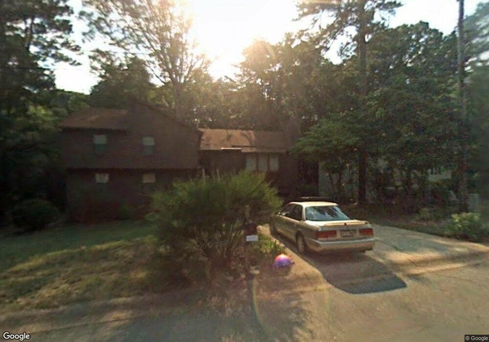
2269 Ravenwood Trail Unit 2 Marietta, GA 30066
Sandy Plains NeighborhoodEstimated Value: $407,743 - $444,000
3
Beds
2
Baths
1,680
Sq Ft
$253/Sq Ft
Est. Value
About This Home
This home is located at 2269 Ravenwood Trail Unit 2, Marietta, GA 30066 and is currently estimated at $424,436, approximately $252 per square foot. 2269 Ravenwood Trail Unit 2 is a home located in Cobb County with nearby schools including Keheley Elementary School, McCleskey Middle School, and Cherokee Christian Schools.
Ownership History
Date
Name
Owned For
Owner Type
Purchase Details
Closed on
Nov 14, 2024
Sold by
Brown Kenneth
Bought by
Kenneth Ray Brown Living Trust and Brown
Current Estimated Value
Purchase Details
Closed on
Oct 20, 1998
Sold by
Wilkinson Neil Lovett and Wilkinson Sharon
Bought by
Brown Kenneth
Home Financials for this Owner
Home Financials are based on the most recent Mortgage that was taken out on this home.
Original Mortgage
$108,395
Interest Rate
6.47%
Mortgage Type
New Conventional
Create a Home Valuation Report for This Property
The Home Valuation Report is an in-depth analysis detailing your home's value as well as a comparison with similar homes in the area
Home Values in the Area
Average Home Value in this Area
Purchase History
| Date | Buyer | Sale Price | Title Company |
|---|---|---|---|
| Kenneth Ray Brown Living Trust | -- | None Listed On Document | |
| Kenneth Ray Brown Living Trust | -- | None Listed On Document | |
| Brown Kenneth | $114,100 | -- |
Source: Public Records
Mortgage History
| Date | Status | Borrower | Loan Amount |
|---|---|---|---|
| Previous Owner | Brown Kenneth | $108,395 |
Source: Public Records
Tax History Compared to Growth
Tax History
| Year | Tax Paid | Tax Assessment Tax Assessment Total Assessment is a certain percentage of the fair market value that is determined by local assessors to be the total taxable value of land and additions on the property. | Land | Improvement |
|---|---|---|---|---|
| 2025 | $3,787 | $168,652 | $40,000 | $128,652 |
| 2024 | $3,790 | $168,652 | $40,000 | $128,652 |
| 2023 | $3,008 | $157,596 | $33,600 | $123,996 |
| 2022 | $2,339 | $100,908 | $22,400 | $78,508 |
| 2021 | $2,137 | $91,652 | $22,400 | $69,252 |
| 2020 | $2,137 | $91,652 | $22,400 | $69,252 |
| 2019 | $2,044 | $87,404 | $20,000 | $67,404 |
| 2018 | $1,628 | $68,400 | $16,000 | $52,400 |
| 2017 | $1,570 | $68,400 | $16,000 | $52,400 |
| 2016 | $1,549 | $67,280 | $16,000 | $51,280 |
| 2015 | $1,287 | $54,028 | $16,000 | $38,028 |
| 2014 | $1,297 | $54,028 | $0 | $0 |
Source: Public Records
Map
Nearby Homes
- 5100 Ravenwood Dr
- 205 Leland Way
- 134 Sierra Cir
- 223 Wild Ginger Bend
- 235 Wild Ginger Bend
- 416 Maypop Ln
- 202 Wild Ginger Bend
- 452 Maypop Ln
- 2423 Turtle Crossing NE
- Bramwell Plan at Havencroft
- Hendricks Plan at Havencroft
- Wynstone Plan at Havencroft
- Buckhorn Plan at Havencroft
- Worthdale Plan at Havencroft
- Ransdall Plan at Havencroft
- Kinton Plan at Havencroft
- 255 Wild Ginger Bend
- 444 Maypop Ln
- 1877 Falcon Wood Dr NE
- 2273 Ravenwood Trail
- 2267 Ravenwood Trail Unit 2
- 2260 Ravenwood Trail
- 2258 Ravenwood Trail
- 2270 Ravenwood Trail
- 2265 Ravenwood Trail
- 5094 Ravenwood Dr
- 2275 Ravenwood Trail
- 5096 Ravenwood Dr Unit 35
- 5096 Ravenwood Dr Unit 5096
- 5096 Ravenwood Dr
- 2256 Ravenwood Trail
- 2256 Ravenwood Trail Unit 2
- 2274 Ravenwood Trail
- 5098 Ravenwood Dr
- 2276 Ravenwood Trail
- 5092 Ravenwood Dr
- 2263 Ravenwood Trail
- 0 Ravenwood Dr NE
- 2254 Ravenwood Trail Unit 16