227 Cooper Bridge Rd Unit 225 Woodruff, SC 29388
Estimated Value: $449,000 - $697,731
3
Beds
4
Baths
2,984
Sq Ft
$197/Sq Ft
Est. Value
About This Home
This home is located at 227 Cooper Bridge Rd Unit 225, Woodruff, SC 29388 and is currently estimated at $588,433, approximately $197 per square foot. 227 Cooper Bridge Rd Unit 225 is a home located in Spartanburg County with nearby schools including Woodruff Primary School, Woodruff Elementary School, and Woodruff Middle School.
Ownership History
Date
Name
Owned For
Owner Type
Purchase Details
Closed on
Mar 22, 2013
Sold by
Long Arthur H
Bought by
Carter Stephen Michael
Current Estimated Value
Home Financials for this Owner
Home Financials are based on the most recent Mortgage that was taken out on this home.
Original Mortgage
$198,000
Outstanding Balance
$139,597
Interest Rate
3.52%
Mortgage Type
Future Advance Clause Open End Mortgage
Estimated Equity
$448,836
Create a Home Valuation Report for This Property
The Home Valuation Report is an in-depth analysis detailing your home's value as well as a comparison with similar homes in the area
Home Values in the Area
Average Home Value in this Area
Purchase History
| Date | Buyer | Sale Price | Title Company |
|---|---|---|---|
| Carter Stephen Michael | $247,500 | -- |
Source: Public Records
Mortgage History
| Date | Status | Borrower | Loan Amount |
|---|---|---|---|
| Open | Carter Stephen Michael | $198,000 |
Source: Public Records
Tax History Compared to Growth
Tax History
| Year | Tax Paid | Tax Assessment Tax Assessment Total Assessment is a certain percentage of the fair market value that is determined by local assessors to be the total taxable value of land and additions on the property. | Land | Improvement |
|---|---|---|---|---|
| 2025 | $1,699 | $10,155 | $429 | $9,726 |
| 2024 | $1,699 | $10,155 | $429 | $9,726 |
| 2023 | $1,699 | $10,155 | $429 | $9,726 |
| 2022 | $1,328 | $8,836 | $357 | $8,479 |
| 2021 | $1,343 | $8,835 | $354 | $8,481 |
| 2020 | $1,217 | $8,835 | $354 | $8,481 |
| 2019 | $1,234 | $8,835 | $354 | $8,481 |
| 2018 | $1,126 | $8,835 | $354 | $8,481 |
| 2017 | $1,025 | $7,688 | $420 | $7,268 |
| 2016 | $1,032 | $7,688 | $420 | $7,268 |
| 2015 | $1,028 | $7,688 | $420 | $7,268 |
| 2014 | $1,023 | $7,688 | $420 | $7,268 |
Source: Public Records
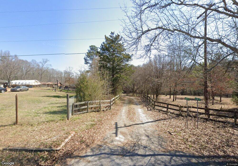
Map
Nearby Homes
- 726 Bill Pearson Rd
- 224 Pretoria Dr
- Wayfare Plan at Rutledge Estates
- Harmony Plan at Rutledge Estates
- Prelude Plan at Rutledge Estates
- Jodeco 2SB Plan at Rutledge Estates
- Maple Plan at Rutledge Estates
- Burton Plan at Rutledge Estates
- Hemingway Plan at Rutledge Estates
- 271 Pretoria Dr
- 275 Pretoria Dr
- 279 Pretoria Dr
- 287 Pretoria Dr
- 425 Haddon Trail
- 299 Pretoria Dr
- 409 Haddon Trail
- 430 Haddon Trail
- 438 Haddon Trail
- 442 Haddon Trail
- 223 Cooper Bridge Rd
- 238 Cooper Bridge Rd
- 241 Cooper Bridge Rd
- 222 Cooper Bridge Rd
- 246 Cooper Bridge Rd
- 230 Cooper Bridge Rd
- 245 Cooper Bridge Rd
- 249 Cooper Bridge Rd
- 244 Cooper Bridge Rd
- 121 Cooper Bridge Rd
- 308 Cooper Bridge Rd
- 303 Cooper Bridge Rd
- 111 Cooper Bridge Rd
- 120 Cooper Bridge Rd
- 149 Hart Rd Unit 155
- 819 Arnold Branch Rd
- 5400 Highway 101
- 725 Arnold Branch Rd
- 315 Cooper Bridge Rd
- 812 Arnold Branch Rd