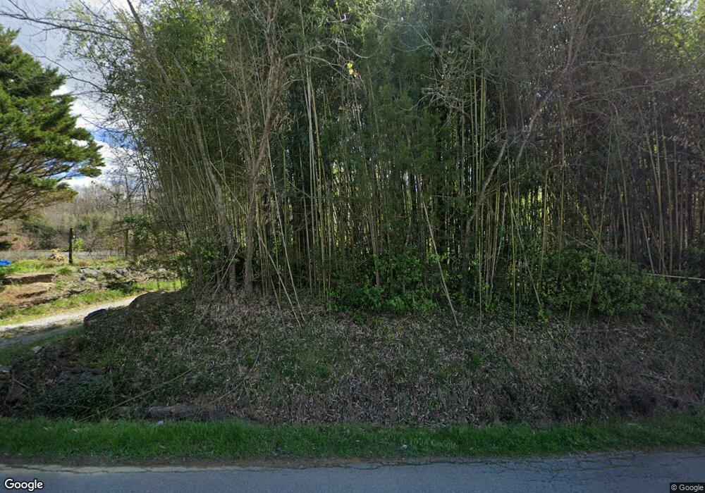
227 Hankins Rd Rock Spring, GA 30739
Rock Spring NeighborhoodEstimated Value: $325,221 - $437,000
--
Bed
2
Baths
1,864
Sq Ft
$200/Sq Ft
Est. Value
About This Home
This home is located at 227 Hankins Rd, Rock Spring, GA 30739 and is currently estimated at $372,305, approximately $199 per square foot. 227 Hankins Rd is a home located in Walker County with nearby schools including Rock Spring Elementary School, Lafayette High School, and Alice M Daley Adventist School.
Ownership History
Date
Name
Owned For
Owner Type
Purchase Details
Closed on
Apr 8, 2025
Sold by
Youbi Sarah D
Bought by
Curtis Kevin Matthew and Curtis Sarah Youbi
Current Estimated Value
Purchase Details
Closed on
May 8, 2018
Sold by
Andrews Bennett T
Bought by
Youbi Sarah D and Curtis Kevin Matthew
Home Financials for this Owner
Home Financials are based on the most recent Mortgage that was taken out on this home.
Original Mortgage
$193,800
Interest Rate
4.4%
Mortgage Type
New Conventional
Purchase Details
Closed on
Oct 5, 1978
Sold by
Smith Alton M
Bought by
Andrews Bennett T and Andrews Jane
Purchase Details
Closed on
May 25, 1973
Sold by
Hamilton Ruby
Bought by
Smith Alton M
Purchase Details
Closed on
Jan 1, 1972
Bought by
Hamilton Ruby
Create a Home Valuation Report for This Property
The Home Valuation Report is an in-depth analysis detailing your home's value as well as a comparison with similar homes in the area
Home Values in the Area
Average Home Value in this Area
Purchase History
| Date | Buyer | Sale Price | Title Company |
|---|---|---|---|
| Curtis Kevin Matthew | -- | -- | |
| Youbi Sarah D | $204,000 | -- | |
| Andrews Bennett T | $25,000 | -- | |
| Smith Alton M | -- | -- | |
| Hamilton Ruby | -- | -- |
Source: Public Records
Mortgage History
| Date | Status | Borrower | Loan Amount |
|---|---|---|---|
| Previous Owner | Youbi Sarah D | $193,800 |
Source: Public Records
Tax History Compared to Growth
Tax History
| Year | Tax Paid | Tax Assessment Tax Assessment Total Assessment is a certain percentage of the fair market value that is determined by local assessors to be the total taxable value of land and additions on the property. | Land | Improvement |
|---|---|---|---|---|
| 2024 | $2,431 | $108,854 | $25,116 | $83,738 |
| 2023 | $2,282 | $99,553 | $19,933 | $79,620 |
| 2022 | $2,236 | $90,256 | $20,995 | $69,261 |
| 2021 | $2,127 | $77,465 | $20,995 | $56,470 |
| 2020 | $1,919 | $66,912 | $20,995 | $45,917 |
| 2019 | $1,953 | $66,912 | $20,995 | $45,917 |
| 2018 | $1,544 | $58,346 | $19,802 | $38,544 |
| 2017 | $144 | $58,346 | $19,802 | $38,544 |
| 2016 | $144 | $58,346 | $19,802 | $38,544 |
| 2015 | $153 | $61,105 | $30,476 | $30,629 |
| 2014 | $87 | $61,105 | $30,476 | $30,629 |
| 2013 | $1,544 | $61,105 | $30,476 | $30,629 |
Source: Public Records
Map
Nearby Homes
- 0 Cheshire Crossing Dr Unit 1387793
- 0 Tarvin Rd Unit 1523862
- 5602 Georgia 95
- 00 Georgia 95
- 0 E Teems Rd Unit 7573954
- 10180 Us Highway 27
- 1003 Highway N Old 27
- 449 W Watts Rd
- 1370 Old Highway 27
- 287 E Teems Rd
- 265 Rodeo Dr
- 15 Willow Cir
- 23 Willow Cir
- 0 Veeler Rd Unit 1522679
- 0 Veeler Rd Unit 10628696
- 16 Willow Cir
- 11 Willow Cir
- The Pearson Plan at Laurel Ridge
- 204 Hankins Rd
- 290 Hankins Rd
- 389 Hankins Rd
- 135 Hankins Rd
- 2416 Highway 95
- 433 Hankins Rd
- 87 Hankins Rd
- 386 Hankins Rd
- 2418 Highway 95
- 226 Hankins Rd
- 2344 Highway 95
- 2262 Georgia 95
- 105 Hankins Rd
- 2344 Georgia 95
- 2262 Highway 95
- 2378 Highway 95
- 2308 Highway 95
- 144 Hankins Rd
- 511 Hankins Rd
- 2164 Highway 95
