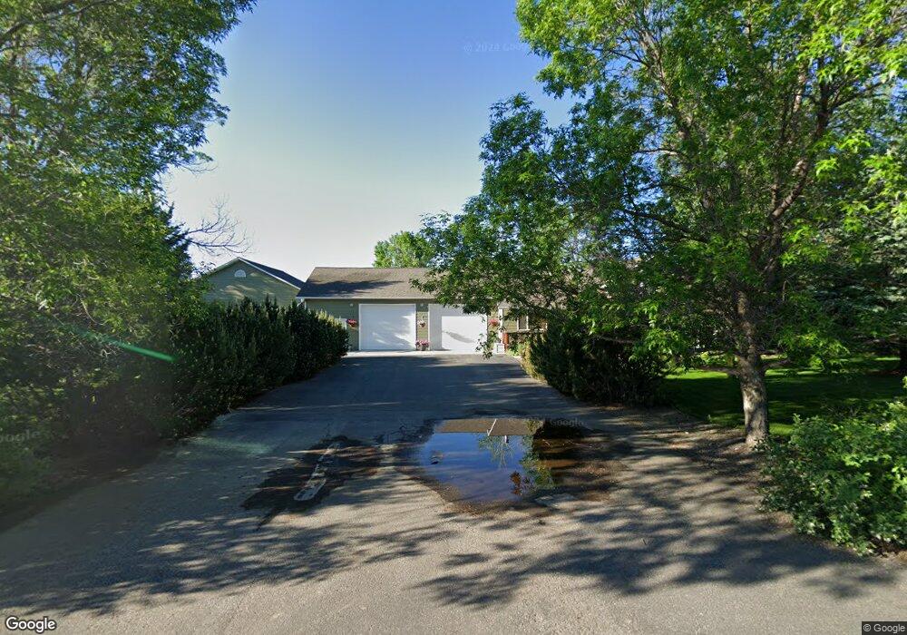
227 High K St Belgrade, MT 59714
Estimated Value: $683,000 - $832,299
3
Beds
3
Baths
1,973
Sq Ft
$401/Sq Ft
Est. Value
About This Home
This home is located at 227 High K St, Belgrade, MT 59714 and is currently estimated at $791,575, approximately $401 per square foot. 227 High K St is a home located in Gallatin County with nearby schools including Ridge View Elementary School, Belgrade High School, and Hearts & Hands Montessori School.
Ownership History
Date
Name
Owned For
Owner Type
Purchase Details
Closed on
Sep 1, 2017
Sold by
Johnson Seabron Mark and Johnson Joan Marie
Bought by
Fraser Scott and Fraser Tara
Current Estimated Value
Home Financials for this Owner
Home Financials are based on the most recent Mortgage that was taken out on this home.
Original Mortgage
$356,000
Outstanding Balance
$297,445
Interest Rate
3.92%
Mortgage Type
New Conventional
Estimated Equity
$494,130
Purchase Details
Closed on
Mar 23, 2006
Sold by
Johnson Joan Marie and Johnson Joan M
Bought by
Johnson Seabron Mark and Johnson Joan Marie
Create a Home Valuation Report for This Property
The Home Valuation Report is an in-depth analysis detailing your home's value as well as a comparison with similar homes in the area
Home Values in the Area
Average Home Value in this Area
Purchase History
| Date | Buyer | Sale Price | Title Company |
|---|---|---|---|
| Fraser Scott | -- | American Land Title Company | |
| Johnson Seabron Mark | -- | Security Title Company |
Source: Public Records
Mortgage History
| Date | Status | Borrower | Loan Amount |
|---|---|---|---|
| Open | Fraser Scott | $356,000 |
Source: Public Records
Tax History Compared to Growth
Tax History
| Year | Tax Paid | Tax Assessment Tax Assessment Total Assessment is a certain percentage of the fair market value that is determined by local assessors to be the total taxable value of land and additions on the property. | Land | Improvement |
|---|---|---|---|---|
| 2025 | $3,592 | $865,400 | $0 | $0 |
| 2024 | $4,866 | $800,400 | $0 | $0 |
| 2023 | $4,849 | $800,400 | $0 | $0 |
| 2022 | $3,686 | $490,300 | $0 | $0 |
| 2021 | $3,912 | $490,300 | $0 | $0 |
| 2020 | $3,591 | $445,400 | $0 | $0 |
| 2019 | $3,656 | $445,400 | $0 | $0 |
| 2018 | $3,288 | $377,600 | $0 | $0 |
| 2017 | $2,910 | $343,100 | $0 | $0 |
| 2016 | $2,969 | $326,400 | $0 | $0 |
| 2015 | $2,766 | $326,400 | $0 | $0 |
| 2014 | $2,470 | $197,372 | $0 | $0 |
Source: Public Records
Map
Nearby Homes
- TBD Bear Cat Loop
- 51 Stag St
- 16 Wally D Ln
- 593,595,597,599 W Shore Dr
- 573 W Shore Dr
- TBD Lot 15A Riverway Rd
- Lot 15 A TBD Riverway Rd
- 477 W River Rock Rd
- 94 Grassy Meadow Dr
- 148 Green Tree Dr
- 67 Village Dr Unit 8A
- 67 Village Dr Unit 4A
- 540 Coral Dr
- 502 Green Belt Dr
- 281 N Shore Dr
- 250 Hereford Dr
- 680 Countryside Ln
- 308 Woodman Dr
- 23 Landmark Dr
- 102 Potter Ln
- 277 High K St
- 350 High K St
- 305 High K St
- 147 High K St
- 265 High K St
- 285 High K St
- 107 High K St
- 184 Buckskin Rd
- 112 Skipper St
- 450 High K St Unit B
- 450 High K St Unit A
- 450 High K St
- 124 Skipper St
- Lot 9 High K St
- 240 Buckskin Rd
- TBD Buckskin Rd
- 140 Skipper St
- 88 Skipper St
- 2431 Amsterdam Rd
- 23 High K St Unit D