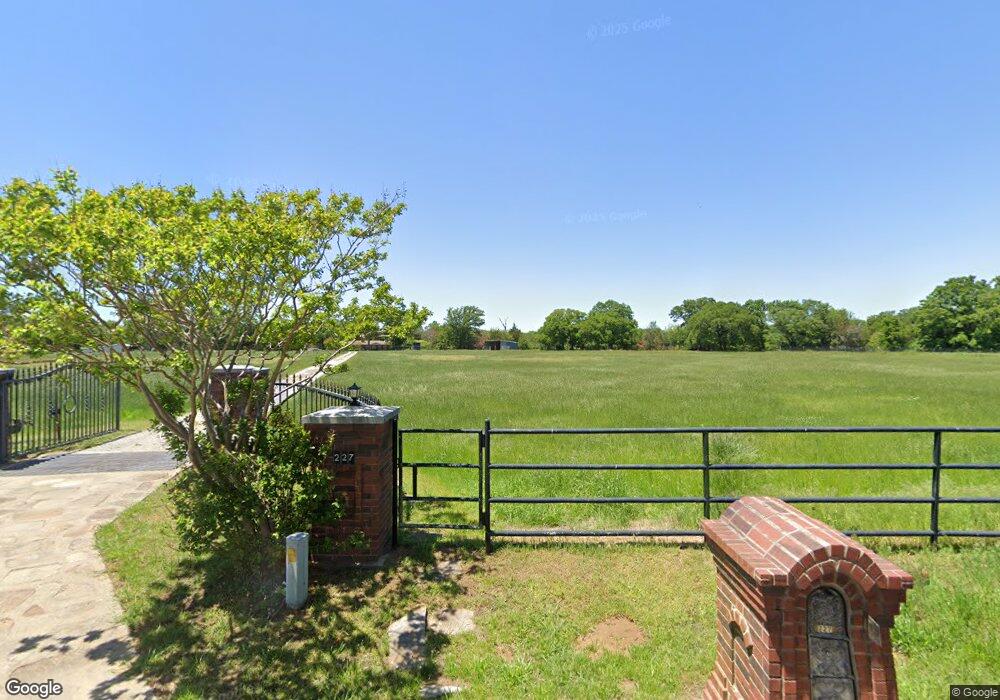
227 Mccraw Ln Denison, TX 75021
Estimated Value: $625,626 - $661,000
Studio
--
Bath
2,259
Sq Ft
$285/Sq Ft
Est. Value
About This Home
This home is located at 227 Mccraw Ln, Denison, TX 75021 and is currently estimated at $643,313, approximately $284 per square foot. 227 Mccraw Ln is a home located in Grayson County with nearby schools including Lamar Elementary School, Scott Middle School, and Denison High School.
Ownership History
Date
Name
Owned For
Owner Type
Purchase Details
Closed on
Dec 16, 2004
Sold by
Svane Eric and Svane Lisa
Bought by
Brown Douglas N and Brown Janet
Current Estimated Value
Home Financials for this Owner
Home Financials are based on the most recent Mortgage that was taken out on this home.
Original Mortgage
$190,000
Outstanding Balance
$94,962
Interest Rate
5.7%
Mortgage Type
Purchase Money Mortgage
Estimated Equity
$548,351
Create a Home Valuation Report for This Property
The Home Valuation Report is an in-depth analysis detailing your home's value as well as a comparison with similar homes in the area
Home Values in the Area
Average Home Value in this Area
Purchase History
| Date | Buyer | Sale Price | Title Company |
|---|---|---|---|
| Brown Douglas N | -- | -- |
Source: Public Records
Mortgage History
| Date | Status | Borrower | Loan Amount |
|---|---|---|---|
| Open | Brown Douglas N | $190,000 |
Source: Public Records
Tax History
| Year | Tax Paid | Tax Assessment Tax Assessment Total Assessment is a certain percentage of the fair market value that is determined by local assessors to be the total taxable value of land and additions on the property. | Land | Improvement |
|---|---|---|---|---|
| 2025 | $776 | $332,035 | $11,050 | $320,985 |
| 2024 | $5,286 | $327,283 | $0 | $0 |
| 2023 | $776 | $340,998 | $8,859 | $332,139 |
| 2022 | $5,365 | $310,475 | $0 | $0 |
| 2021 | $5,290 | $290,930 | $4,314 | $286,616 |
| 2020 | $5,109 | $256,625 | $4,543 | $252,082 |
| 2019 | $4,961 | $261,173 | $3,821 | $257,352 |
| 2018 | $4,560 | $248,838 | $3,499 | $245,339 |
| 2017 | $4,174 | $225,787 | $3,263 | $222,524 |
| 2016 | $3,796 | $224,251 | $3,263 | $220,988 |
Source: Public Records
Map
Nearby Homes
- TBD Ledbetter Ln
- Vacant Land Ledbetter Ln
- 566 Mccraw Ln
- 1838 Richerson Rd
- 1549 Starr Rd
- 1846 Richerson Rd
- 40 Cumberland Cir
- TBD NE Fm 1753 & Singletree
- TBD Cross Timber Estates Dr
- 2757 Fm 1753
- TBD Johnson Rd
- TBD Singletree Rd
- TBD E Fm 120
- 4822 Fm 1753
- 492 Richerson Rd
- 5.92 Rd
- 4942 Us Highway 69
- 21 Chaparral Estates Dr
- 1805 Arthur Rd
- 9771 Dripping Spring Rd
- 279 Mccraw Ln
- 97 Old Turkey Farm Rd
- 200 Mccraw Ln
- 94 Mccraw Ln
- 353 Mccraw Ln
- 334 Ledbetter Ln
- 90 Old Turkey Farm Rd
- TBD- Lot 1 Mccraw Ln
- TBD- Lot 2 Mccraw Ln
- 74 Mccraw Ln
- 54 Mccraw Ln
- 14 Mccraw Ln
- 1971 Starr Rd
- 525 Ledbetter Ln
- 1945 Starr Rd
- 495 Mccraw Ln
- 407 Ledbetter Ln
- 515 Mccraw Ln
- 1986 Starr Rd
- 1972 Starr Rd
Your Personal Tour Guide
Ask me questions while you tour the home.