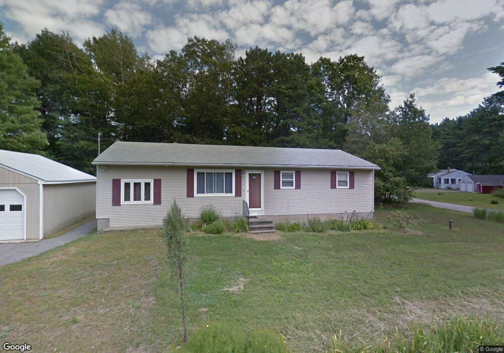
227 Oldfields Rd South Berwick, ME 03908
Estimated Value: $418,000 - $464,000
3
Beds
1
Bath
2,784
Sq Ft
$155/Sq Ft
Est. Value
About This Home
This home is located at 227 Oldfields Rd, South Berwick, ME 03908 and is currently estimated at $432,763, approximately $155 per square foot. 227 Oldfields Rd is a home located in York County with nearby schools including Marshwood High School, Seacoast Waldorf School, and Berwick Academy.
Ownership History
Date
Name
Owned For
Owner Type
Purchase Details
Closed on
Nov 7, 2023
Sold by
Rodger Gerald L and Brock Betty J
Bought by
Carter Kendra L and Carter Damian M
Current Estimated Value
Home Financials for this Owner
Home Financials are based on the most recent Mortgage that was taken out on this home.
Original Mortgage
$280,000
Outstanding Balance
$273,939
Interest Rate
7.31%
Mortgage Type
Purchase Money Mortgage
Estimated Equity
$158,824
Purchase Details
Closed on
Jul 30, 2012
Sold by
Rodger Gerald L
Bought by
Brock Betty J and Brock Rodger Gerald
Create a Home Valuation Report for This Property
The Home Valuation Report is an in-depth analysis detailing your home's value as well as a comparison with similar homes in the area
Home Values in the Area
Average Home Value in this Area
Purchase History
| Date | Buyer | Sale Price | Title Company |
|---|---|---|---|
| Carter Kendra L | -- | None Available | |
| Brock Betty J | -- | -- | |
| Brock Betty J | -- | -- |
Source: Public Records
Mortgage History
| Date | Status | Borrower | Loan Amount |
|---|---|---|---|
| Open | Carter Kendra L | $280,000 |
Source: Public Records
Tax History
| Year | Tax Paid | Tax Assessment Tax Assessment Total Assessment is a certain percentage of the fair market value that is determined by local assessors to be the total taxable value of land and additions on the property. | Land | Improvement |
|---|---|---|---|---|
| 2024 | $4,631 | $345,100 | $167,700 | $177,400 |
| 2023 | $4,167 | $298,500 | $146,700 | $151,800 |
| 2022 | $3,814 | $262,300 | $139,700 | $122,600 |
| 2021 | $3,998 | $257,300 | $133,100 | $124,200 |
| 2020 | $4,060 | $232,000 | $117,800 | $114,200 |
| 2019 | $4,031 | $214,400 | $107,100 | $107,300 |
| 2018 | $3,972 | $205,800 | $106,000 | $99,800 |
| 2017 | $3,910 | $205,800 | $106,000 | $99,800 |
| 2016 | $3,766 | $205,800 | $106,000 | $99,800 |
| 2015 | $3,663 | $205,800 | $106,000 | $99,800 |
| 2014 | $3,643 | $205,800 | $106,000 | $99,800 |
Source: Public Records
Map
Nearby Homes
- 296 Dow Hwy
- 116 Heron Cove Rd
- 25 Schooner Dr
- 25 Heritage Dr
- 65 Wildbrook Ln
- 38 Wisteria Dr
- 6 Isaac Lucas Cir
- 51 Childs Dr
- 16 Witchtrot Rd
- 11 Country Club Estates Dr Unit 11
- 1 Independence Dr
- 14 Independence Dr
- 55 Pointe Place Unit 108
- 55 Pointe Place Unit 101
- 55 Pointe Place Unit 201
- 55 Pointe Place Unit 304
- Lot 3 Enclave Unit 13F-2
- 0 Lindsay Ln
- 51 Constitution Way
- 226 Oak St
Your Personal Tour Guide
Ask me questions while you tour the home.