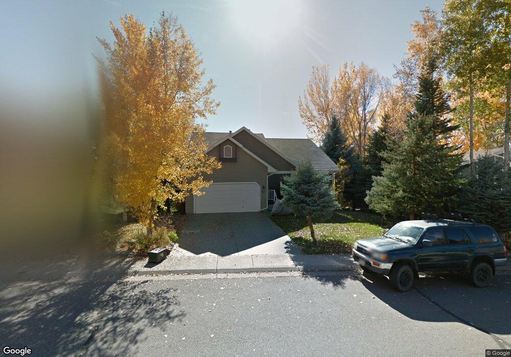
227 Rabbit Rd Carbondale, CO 81623
Estimated Value: $1,355,467 - $1,500,000
4
Beds
3
Baths
2,377
Sq Ft
$598/Sq Ft
Est. Value
About This Home
This home is located at 227 Rabbit Rd, Carbondale, CO 81623 and is currently estimated at $1,420,867, approximately $597 per square foot. 227 Rabbit Rd is a home located in Eagle County with nearby schools including Cornerstone Classical School.
Ownership History
Date
Name
Owned For
Owner Type
Purchase Details
Closed on
Jul 9, 2020
Sold by
Ledingham Joann Thirza and Axelson Joann T
Bought by
Ledingham Joann Thirza
Current Estimated Value
Home Financials for this Owner
Home Financials are based on the most recent Mortgage that was taken out on this home.
Original Mortgage
$435,600
Interest Rate
3.2%
Mortgage Type
New Conventional
Purchase Details
Closed on
Sep 17, 2002
Sold by
Axelson Kit and Axelson Joann T
Bought by
Axelson Joann T
Home Financials for this Owner
Home Financials are based on the most recent Mortgage that was taken out on this home.
Original Mortgage
$285,000
Interest Rate
5%
Create a Home Valuation Report for This Property
The Home Valuation Report is an in-depth analysis detailing your home's value as well as a comparison with similar homes in the area
Home Values in the Area
Average Home Value in this Area
Purchase History
| Date | Buyer | Sale Price | Title Company |
|---|---|---|---|
| Ledingham Joann Thirza | -- | Solidifi | |
| Axelson Joann T | -- | Title Company Of The Rockies |
Source: Public Records
Mortgage History
| Date | Status | Borrower | Loan Amount |
|---|---|---|---|
| Closed | Ledingham Joann Thirza | $435,600 | |
| Closed | Axelson Joann T | $285,000 |
Source: Public Records
Tax History Compared to Growth
Tax History
| Year | Tax Paid | Tax Assessment Tax Assessment Total Assessment is a certain percentage of the fair market value that is determined by local assessors to be the total taxable value of land and additions on the property. | Land | Improvement |
|---|---|---|---|---|
| 2024 | $5,226 | $70,010 | $18,140 | $51,870 |
| 2023 | $5,226 | $70,010 | $18,140 | $51,870 |
| 2022 | $4,335 | $53,740 | $9,170 | $44,570 |
| 2021 | $4,454 | $55,290 | $9,440 | $45,850 |
| 2020 | $3,623 | $47,190 | $9,440 | $37,750 |
| 2019 | $3,657 | $47,190 | $9,440 | $37,750 |
| 2018 | $3,298 | $42,150 | $8,640 | $33,510 |
| 2017 | $3,122 | $42,150 | $8,640 | $33,510 |
| 2016 | $2,832 | $37,560 | $7,960 | $29,600 |
| 2015 | -- | $37,560 | $7,960 | $29,600 |
| 2014 | $2,002 | $27,920 | $5,970 | $21,950 |
Source: Public Records
Map
Nearby Homes
- 298 Black Bear Trail
- 456 Black Bear Trail
- 161 James Cir
- 196 Dakota Meadows Dr
- 14 Fender Ln
- 539 Sunrise Ln
- 101 Prentice
- 274 Overlook Ridge
- 236 Overlook Ridge
- 70 Cleve Ct
- 140 Juniper Trail Unit 140
- 145 Juniper Trail
- 191 Navajo
- 577 Fox Run Dr
- 201 Tree Farm Dr Unit All Parcels
- 201 Tree Farm Dr Unit The Lakeview
- 201 Tree Farm Dr Unit The Creekside
- 364 Larkspur Dr
- 0 Larkspur Dr
- 604 Larkspur Dr