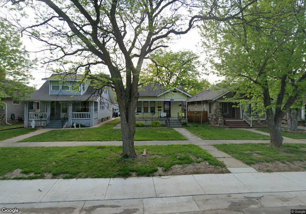
227 SW Elmwood Ave Topeka, KS 66606
Greater Auburndale NeighborhoodEstimated Value: $115,000 - $136,000
3
Beds
1
Bath
1,220
Sq Ft
$103/Sq Ft
Est. Value
About This Home
This home is located at 227 SW Elmwood Ave, Topeka, KS 66606 and is currently estimated at $125,239, approximately $102 per square foot. 227 SW Elmwood Ave is a home located in Shawnee County with nearby schools including Rosenwald Elementary School, Martin Park Elementary School, and Meadows Elementary School.
Ownership History
Date
Name
Owned For
Owner Type
Purchase Details
Closed on
Mar 17, 2011
Sold by
Federal Home Loan Mortgage Corporation
Bought by
Noren Karl E and Noren Mary L
Current Estimated Value
Home Financials for this Owner
Home Financials are based on the most recent Mortgage that was taken out on this home.
Original Mortgage
$40,000
Outstanding Balance
$14,935
Interest Rate
4.92%
Mortgage Type
New Conventional
Estimated Equity
$110,304
Purchase Details
Closed on
Jan 11, 2010
Sold by
Howe Michael R
Bought by
Federal Home Loan Mortgage Corp
Create a Home Valuation Report for This Property
The Home Valuation Report is an in-depth analysis detailing your home's value as well as a comparison with similar homes in the area
Home Values in the Area
Average Home Value in this Area
Purchase History
| Date | Buyer | Sale Price | Title Company |
|---|---|---|---|
| Noren Karl E | $52,000 | Servicelink | |
| Federal Home Loan Mortgage Corp | $74,915 | Continental Title |
Source: Public Records
Mortgage History
| Date | Status | Borrower | Loan Amount |
|---|---|---|---|
| Open | Noren Karl E | $40,000 |
Source: Public Records
Tax History Compared to Growth
Tax History
| Year | Tax Paid | Tax Assessment Tax Assessment Total Assessment is a certain percentage of the fair market value that is determined by local assessors to be the total taxable value of land and additions on the property. | Land | Improvement |
|---|---|---|---|---|
| 2025 | $1,635 | $12,499 | -- | -- |
| 2023 | $1,635 | $11,341 | $0 | $0 |
| 2022 | $1,433 | $9,862 | $0 | $0 |
| 2021 | $1,327 | $8,575 | $0 | $0 |
| 2020 | $1,247 | $8,167 | $0 | $0 |
| 2019 | $1,229 | $8,007 | $0 | $0 |
| 2018 | $1,193 | $7,774 | $0 | $0 |
| 2017 | $1,196 | $7,774 | $0 | $0 |
| 2014 | $1,208 | $7,774 | $0 | $0 |
Source: Public Records
Map
Nearby Homes
- 0000 SW Elmwood Ave Unit Lots 5,6 Laurel Park
- 312 SW Elmwood Ave
- 348 SW Jewell Ave
- 1830 SW Willow Ave
- 200 SW Orchard St
- 215 SW Courtland Ave
- 719 SW Jewell Ave
- 700 SW Roosevelt St
- 734 SW Lindenwood Ave
- 208 SW MacVicar Ave
- 2235 SW Kenilworth Ct
- 433 SW Lincoln St
- 808 SW Lindenwood Ave
- 511 SW Buchanan St
- 634 SW Lincoln St
- 136 NW Quinton Ave
- 731 SW Lincoln St
- 505 SW Clay St
- 131 SW Clay St
- 711 SW Buchanan St
- 223 SW Elmwood Ave
- 229 SW Elmwood Ave
- 221 SW Elmwood Ave
- 233 SW Elmwood Ave
- 217 SW Elmwood Ave
- 237 SW Elmwood Ave
- 106 SW The Dr
- 110 SW The Dr
- 112 SW The Dr
- 100 SW The Dr
- 215 SW Elmwood Ave
- 224 SW Elmwood Ave
- 118 SW The Dr
- 211 SW Elmwood Ave
- 216 SW Elmwood Ave
- 122 SW The Dr
- 209 SW Elmwood Ave
- 112 SW Knox Ave
- 301 SW Elmwood Ave
- 220 SW Elmwood Ave