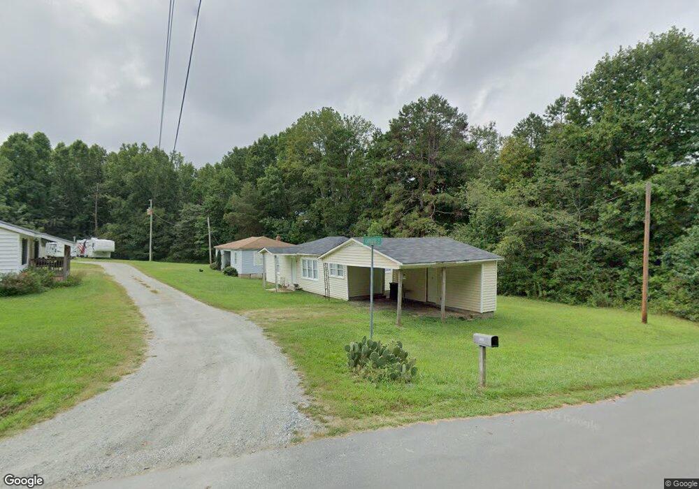
2270 Camrose Ln Lincolnton, NC 28092
Estimated Value: $287,000 - $334,000
2
Beds
1
Bath
772
Sq Ft
$395/Sq Ft
Est. Value
About This Home
This home is located at 2270 Camrose Ln, Lincolnton, NC 28092 and is currently estimated at $305,000, approximately $395 per square foot. 2270 Camrose Ln is a home with nearby schools including Iron Station Elementary School, East Lincoln Middle School, and East Lincoln High School.
Ownership History
Date
Name
Owned For
Owner Type
Purchase Details
Closed on
Feb 27, 1997
Bought by
Lutz Phillip
Current Estimated Value
Purchase Details
Closed on
Nov 27, 1991
Bought by
Greene Joe Z and Greene Stella P
Create a Home Valuation Report for This Property
The Home Valuation Report is an in-depth analysis detailing your home's value as well as a comparison with similar homes in the area
Home Values in the Area
Average Home Value in this Area
Purchase History
| Date | Buyer | Sale Price | Title Company |
|---|---|---|---|
| Lutz Phillip | $48,600 | -- | |
| Greene Joe Z | $83,000 | -- |
Source: Public Records
Tax History Compared to Growth
Tax History
| Year | Tax Paid | Tax Assessment Tax Assessment Total Assessment is a certain percentage of the fair market value that is determined by local assessors to be the total taxable value of land and additions on the property. | Land | Improvement |
|---|---|---|---|---|
| 2025 | $1,974 | $228,381 | $66,000 | $162,381 |
| 2024 | $1,894 | $228,381 | $66,000 | $162,381 |
| 2023 | $1,843 | $228,381 | $66,000 | $162,381 |
| 2022 | $1,508 | $142,522 | $49,000 | $93,522 |
| 2021 | $1,508 | $142,522 | $49,000 | $93,522 |
| 2020 | $1,020 | $142,522 | $49,000 | $93,522 |
| 2019 | $1,020 | $142,522 | $49,000 | $93,522 |
| 2018 | $1,268 | $117,722 | $44,500 | $73,222 |
| 2017 | $856 | $117,722 | $44,500 | $73,222 |
| 2016 | $856 | $117,722 | $44,500 | $73,222 |
| 2015 | $1,191 | $117,722 | $44,500 | $73,222 |
| 2014 | $1,351 | $144,183 | $51,500 | $92,683 |
Source: Public Records
Map
Nearby Homes
- 5486 E Highway 27
- 3960 Orchard Rd
- 3388 Rhyne Forest Rd
- 1279 Craig Dr
- 4394 Mountain Creek Rd
- 222 Oakhill St
- 4364 Hager Mountain Ln
- 6 Hager Mountain Ln
- 4859 Paysour Pond Rd
- 1481 Depot St
- 1554 Forum Ln
- 4435 Cornett Dr
- 1987 & 1981 Magnolia Grove Rd
- 1713 Oak Park Ct
- 5038 Arden Gate Dr
- 3132 Fox Den Cir
- 1485 Adkin Dr
- 0 Wolf Rd Unit 8
- 5039 Penn Rd
- 1615 Oak Park Ct
- 0 Bynum Estate Rd Unit 1
- 2324 Bynum Estate Rd
- 2327 Bynum Estate Rd
- 2343 Bynum Estate Rd
- 5865 E Highway 27
- 2374 Bynum Estate Rd
- 5937 E Highway 27
- 5939 E Hwy 27 Hwy
- 5963 E Highway 27
- 5951 N Carolina 27
- 5901 E Highway 27
- 5981 E Highway 27
- 2431 Bynum Estate Rd
- 2345 Bynum Estate Rd
- 0000 Bynum Estate Rd
- 5855 E Highway 27
- 2433 Long Cir
- Lot #3 Long Cir
- lot #1 Long Cir
- 4929 Clay Rhine Ln