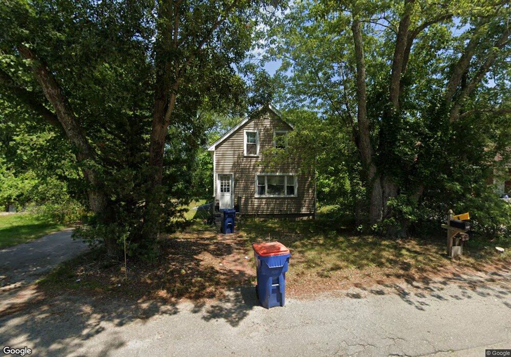
2270 Cranberry Hwy West Wareham, MA 02576
Estimated Value: $419,317 - $485,000
3
Beds
1
Bath
1,338
Sq Ft
$336/Sq Ft
Est. Value
About This Home
This home is located at 2270 Cranberry Hwy, West Wareham, MA 02576 and is currently estimated at $449,829, approximately $336 per square foot. 2270 Cranberry Hwy is a home located in Plymouth County.
Ownership History
Date
Name
Owned For
Owner Type
Purchase Details
Closed on
Apr 3, 1987
Sold by
Gomes John J
Bought by
Gomes Jeffrey S
Current Estimated Value
Home Financials for this Owner
Home Financials are based on the most recent Mortgage that was taken out on this home.
Original Mortgage
$26,400
Interest Rate
9.11%
Mortgage Type
Purchase Money Mortgage
Create a Home Valuation Report for This Property
The Home Valuation Report is an in-depth analysis detailing your home's value as well as a comparison with similar homes in the area
Home Values in the Area
Average Home Value in this Area
Purchase History
| Date | Buyer | Sale Price | Title Company |
|---|---|---|---|
| Gomes Jeffrey S | $33,000 | -- |
Source: Public Records
Mortgage History
| Date | Status | Borrower | Loan Amount |
|---|---|---|---|
| Open | Gomes Jeffrey S | $80,000 | |
| Closed | Gomes Jeffrey S | $70,000 | |
| Closed | Gomes Jeffrey S | $15,000 | |
| Closed | Gomes Jeffrey S | $26,400 |
Source: Public Records
Tax History Compared to Growth
Tax History
| Year | Tax Paid | Tax Assessment Tax Assessment Total Assessment is a certain percentage of the fair market value that is determined by local assessors to be the total taxable value of land and additions on the property. | Land | Improvement |
|---|---|---|---|---|
| 2025 | $3,577 | $343,300 | $105,900 | $237,400 |
| 2024 | $3,718 | $331,100 | $84,700 | $246,400 |
| 2023 | $3,319 | $301,300 | $77,100 | $224,200 |
| 2022 | $3,319 | $251,800 | $77,100 | $174,700 |
| 2021 | $3,053 | $227,000 | $77,100 | $149,900 |
| 2020 | $2,924 | $220,500 | $77,100 | $143,400 |
| 2019 | $2,873 | $216,200 | $78,600 | $137,600 |
| 2018 | $2,663 | $195,400 | $78,600 | $116,800 |
| 2017 | $2,628 | $195,400 | $78,600 | $116,800 |
| 2016 | $2,468 | $182,400 | $78,600 | $103,800 |
| 2015 | $2,350 | $179,800 | $78,600 | $101,200 |
| 2014 | $2,345 | $182,500 | $74,700 | $107,800 |
Source: Public Records
Map
Nearby Homes
- 50 N Carver Rd
- 132 Queen Dr
- 103 Castle Dr
- 51 Crest Dr
- 20 Gault Rd
- 67 Crest Dr
- 13 Siesta Dr
- 27 Siesta Dr
- 4 Siesta Dr
- 72 Papermill Rd Unit 72
- 64 Papermill Rd
- 64 Papermill Rd Unit 64
- 421 County Rd
- 14 Timber Ln
- 21 Windswept Rd
- 85 Great Hill Dr
- 95 Beach St
- 44 Great Hill Dr
- 32 Windswept Rd
- 127 Dolittle Ln
- 2272 Cranberry Hwy
- 2272 Cranberry Hwy
- 6 Aunt Maryville Ln
- 2274 Cranberry Hwy
- 2271 Cranberry Hwy
- 2269 Cranberry Hwy
- 2278 Cranberry Hwy
- 2273 Cranberry Hwy
- 2266 Cranberry Hwy
- 5 Aunt Maryville Ln
- 2280 Cranberry Hwy
- 2264 Cranberry Hwy
- 2263 Cranberry Hwy
- 3 Aunt Maryville Ln
- 2284 Cranberry Hwy
- 0 Aunt Maryville Ln
- 45 3030 Cranberry Hwy
- 9 3030 Cranberry Hwy
- 2277 Cranberry Hwy
- 2 Aunt Maryville Ln