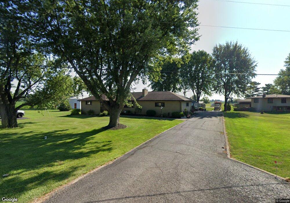
2271 State Route 19 Bucyrus, OH 44820
Estimated Value: $231,000 - $257,000
3
Beds
2
Baths
1,972
Sq Ft
$127/Sq Ft
Est. Value
About This Home
This home is located at 2271 State Route 19, Bucyrus, OH 44820 and is currently estimated at $249,607, approximately $126 per square foot. 2271 State Route 19 is a home located in Crawford County with nearby schools including Hannah Crawford Elementary School (PK-2), Hannah Crawford Elementary School (3 - 5), and William Crawford Intermediate School.
Ownership History
Date
Name
Owned For
Owner Type
Purchase Details
Closed on
May 18, 2018
Sold by
Hartschuh Vicki M and Estate Of Gene E Bordner
Bought by
Orewiler Dawn S
Current Estimated Value
Home Financials for this Owner
Home Financials are based on the most recent Mortgage that was taken out on this home.
Original Mortgage
$100,000
Outstanding Balance
$59,249
Interest Rate
4.4%
Mortgage Type
New Conventional
Estimated Equity
$190,358
Create a Home Valuation Report for This Property
The Home Valuation Report is an in-depth analysis detailing your home's value as well as a comparison with similar homes in the area
Home Values in the Area
Average Home Value in this Area
Purchase History
| Date | Buyer | Sale Price | Title Company |
|---|---|---|---|
| Orewiler Dawn S | $125,000 | Acs Title Bucyrus |
Source: Public Records
Mortgage History
| Date | Status | Borrower | Loan Amount |
|---|---|---|---|
| Open | Orewiler Dawn S | $100,000 |
Source: Public Records
Tax History Compared to Growth
Tax History
| Year | Tax Paid | Tax Assessment Tax Assessment Total Assessment is a certain percentage of the fair market value that is determined by local assessors to be the total taxable value of land and additions on the property. | Land | Improvement |
|---|---|---|---|---|
| 2024 | $2,363 | $69,160 | $8,500 | $60,660 |
| 2023 | $2,365 | $50,720 | $6,620 | $44,100 |
| 2022 | $2,097 | $50,720 | $6,620 | $44,100 |
| 2021 | $2,166 | $50,720 | $6,620 | $44,100 |
| 2020 | $1,569 | $38,750 | $6,620 | $32,130 |
| 2019 | $1,628 | $38,750 | $6,620 | $32,130 |
| 2018 | $1,628 | $38,750 | $6,620 | $32,130 |
| 2017 | $1,106 | $36,850 | $6,620 | $30,230 |
| 2016 | $1,108 | $36,850 | $6,620 | $30,230 |
| 2015 | $1,083 | $36,850 | $6,620 | $30,230 |
| 2014 | $1,105 | $36,850 | $6,620 | $30,230 |
| 2013 | $1,105 | $36,850 | $6,620 | $30,230 |
Source: Public Records
Map
Nearby Homes
- 2208 State Route 19
- 111 Kincora Dr
- 148 Kincora Dr
- 1465 Oakridge Dr
- 1267 N Dundee Trail
- 1320 E Southern Ave
- 948 S Highland Ave
- 318 Charlotte St
- 419 Short St
- 1220 E Warren St
- 924 E Warren St
- 346 Hopley Ave
- 1211 S Sandusky Ave
- 444 Woodlawn Ave
- 1021 S Sandusky Ave
- 583 Rogers St
- 708 S Sandusky Ave
- 550 S Walnut St
- 900 S Spring St
- 412 E Rensselaer St
- 2279 State Route 19
- 2261 State Route 19
- 2270 State Route 19
- 2254 State Route 19
- 2284 State Route 19
- 2251 State Route 19
- 2251 Ohio 19
- 2292 Ohio 19
- 2245 State Route 19
- 2244 State Route 19
- 2244 State Route 19
- 2292 State Route 19
- 2235 State Route 19
- 2234 State Route 19
- 2247 State Route 19
- 2305 State Route 19
- 2212 State Route 19
- 2225 State Route 19
- 3531 Crestline Rd
- 3561 Crestline Rd