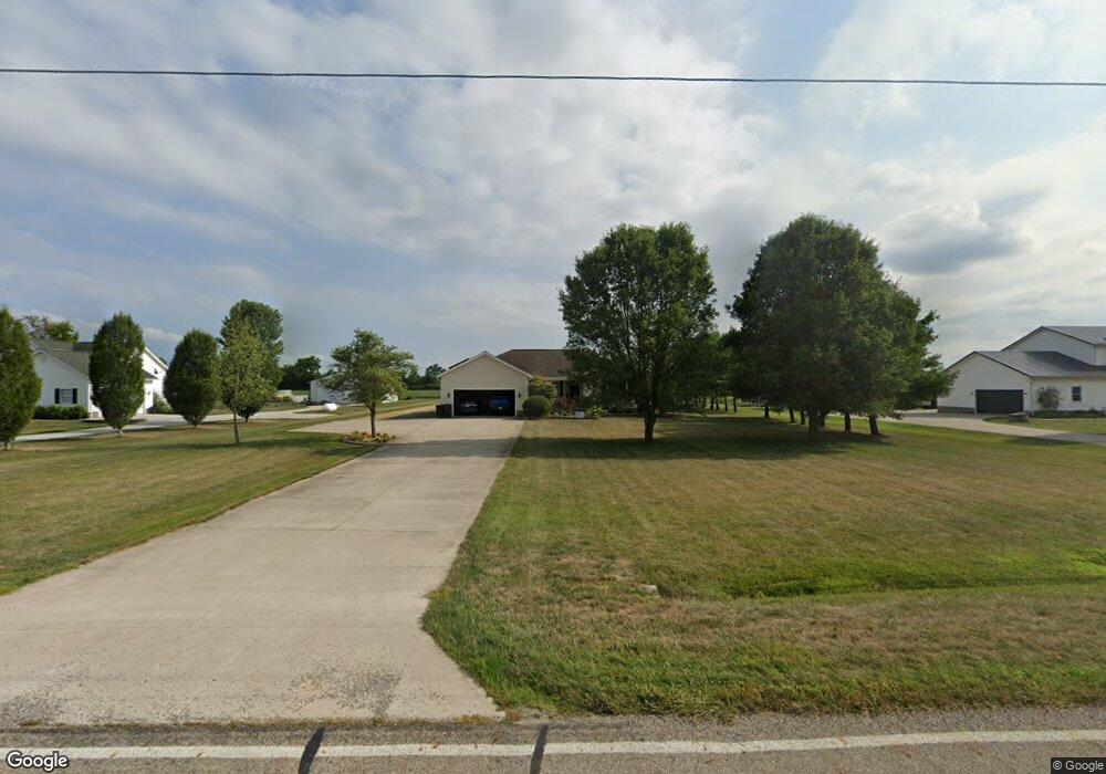
2271 Weigand Rd Unit L 2 Lockbourne, OH 43137
Estimated Value: $387,376 - $553,000
4
Beds
2
Baths
1,738
Sq Ft
$283/Sq Ft
Est. Value
About This Home
This home is located at 2271 Weigand Rd Unit L 2, Lockbourne, OH 43137 and is currently estimated at $491,594, approximately $282 per square foot. 2271 Weigand Rd Unit L 2 is a home located in Pickaway County.
Ownership History
Date
Name
Owned For
Owner Type
Purchase Details
Closed on
Oct 28, 2010
Sold by
Langbein Tommie C and Langbein Juanita S
Bought by
Baker George A and Baker Sheryl L
Current Estimated Value
Home Financials for this Owner
Home Financials are based on the most recent Mortgage that was taken out on this home.
Original Mortgage
$50,000
Interest Rate
4.19%
Mortgage Type
Purchase Money Mortgage
Create a Home Valuation Report for This Property
The Home Valuation Report is an in-depth analysis detailing your home's value as well as a comparison with similar homes in the area
Home Values in the Area
Average Home Value in this Area
Purchase History
| Date | Buyer | Sale Price | Title Company |
|---|---|---|---|
| Baker George A | $195,000 | Quality Choice Title |
Source: Public Records
Mortgage History
| Date | Status | Borrower | Loan Amount |
|---|---|---|---|
| Closed | Baker George A | $50,000 |
Source: Public Records
Tax History Compared to Growth
Tax History
| Year | Tax Paid | Tax Assessment Tax Assessment Total Assessment is a certain percentage of the fair market value that is determined by local assessors to be the total taxable value of land and additions on the property. | Land | Improvement |
|---|---|---|---|---|
| 2024 | -- | $93,920 | $16,680 | $77,240 |
| 2023 | $3,556 | $93,920 | $16,680 | $77,240 |
| 2022 | $3,100 | $75,180 | $13,720 | $61,460 |
| 2021 | $2,935 | $75,180 | $13,720 | $61,460 |
| 2020 | $2,940 | $75,180 | $13,720 | $61,460 |
| 2019 | $2,526 | $65,120 | $13,000 | $52,120 |
| 2018 | $2,655 | $65,120 | $13,000 | $52,120 |
| 2017 | $3,494 | $65,120 | $13,000 | $52,120 |
| 2016 | $2,434 | $57,840 | $12,270 | $45,570 |
| 2015 | $2,435 | $57,840 | $12,270 | $45,570 |
| 2014 | $4,012 | $57,840 | $12,270 | $45,570 |
| 2013 | $2,863 | $65,660 | $12,270 | $53,390 |
Source: Public Records
Map
Nearby Homes
- 12382 Bulen Pierce Rd
- 11280 U S 23
- 39 Hemingway Ave
- 13347 Us Highway 23
- 2713 W Old Duvall Ct
- 62 Cider Mill Dr
- Bellamy Plan at Walnut Mill
- Chatham Plan at Walnut Mill
- Juniper Plan at Walnut Mill
- 57 Cider Mill Dr
- 50 Cider Mill Dr
- 61 Cider Mill Dr
- 54 Cider Mill Dr
- 58 Cider Mill Dr
- Henley Plan at Walnut Mill
- 60 Cider Mill Dr
- Sienna Plan at Walnut Mill
- 44 Cider Mill Dr
- Pendleton Plan at Walnut Mill
- Aldridge Plan at Walnut Mill
- 2271 Weigand Rd
- 2301 Weigand Rd
- 2245 Weigand Rd
- 2325 Weigand Rd
- 2189 Weigand Rd
- 2208 Weigand Rd
- 2234 Weigand Rd
- 2339 Weigand Rd
- 2171 Weigand Rd
- 2318 Weigand Rd
- 2363 Weigand Rd
- 2146 Weigand Rd
- 2358 Weigand Rd
- 2395 Weigand Rd
- 2415 Weigand Rd
- 12375 Bulen-Pierce Rd
- 12465 Bulen Pierce Rd
- 12417 Bulen Pierce Rd
- 12399 Bulen Pierce Rd
- 0 Weigand Rd