22718 V 66 Trail Montrose, CO 81403
Estimated Value: $745,000 - $1,054,811
2
Beds
2
Baths
2,239
Sq Ft
$402/Sq Ft
Est. Value
About This Home
This home is located at 22718 V 66 Trail, Montrose, CO 81403 and is currently estimated at $900,937, approximately $402 per square foot. 22718 V 66 Trail is a home located in Montrose County with nearby schools including Cottonwood Elementary School, Columbine Middle School, and Montrose High School.
Ownership History
Date
Name
Owned For
Owner Type
Purchase Details
Closed on
Oct 17, 2024
Sold by
Deborah L Cusic Revocable Trust and Cusic Deborah L
Bought by
Carey Deborah L and Carey Tim
Current Estimated Value
Purchase Details
Closed on
Aug 17, 2012
Sold by
Cusic Deborah L
Bought by
Cusic Deborah L
Purchase Details
Closed on
Aug 30, 2011
Sold by
Mathews Pieter L and Mathews Karen Heckman
Bought by
Deborah L Cusic Revocable Trust
Purchase Details
Closed on
Dec 23, 2002
Sold by
Bartels Thomas A and Bartels Gladys L
Bought by
Heckman Mathews Pieter L and Heckman Mathews Karen
Purchase Details
Closed on
Mar 12, 1986
Sold by
Mcwhirter Larry D
Bought by
Bartels Thomas A and Bartels Gladys L
Create a Home Valuation Report for This Property
The Home Valuation Report is an in-depth analysis detailing your home's value as well as a comparison with similar homes in the area
Home Values in the Area
Average Home Value in this Area
Purchase History
| Date | Buyer | Sale Price | Title Company |
|---|---|---|---|
| Carey Deborah L | -- | None Listed On Document | |
| Cusic Deborah L | -- | Land Title | |
| Deborah L Cusic Revocable Trust | $200,000 | Land Title Guarantee Company | |
| Heckman Mathews Pieter L | $141,000 | -- | |
| Bartels Thomas A | $19,100 | -- |
Source: Public Records
Tax History Compared to Growth
Tax History
| Year | Tax Paid | Tax Assessment Tax Assessment Total Assessment is a certain percentage of the fair market value that is determined by local assessors to be the total taxable value of land and additions on the property. | Land | Improvement |
|---|---|---|---|---|
| 2024 | $4,730 | $66,430 | $10,790 | $55,640 |
| 2023 | $4,730 | $72,740 | $11,820 | $60,920 |
| 2022 | $3,385 | $49,190 | $6,260 | $42,930 |
| 2021 | $3,488 | $50,600 | $6,440 | $44,160 |
| 2020 | $3,070 | $45,760 | $8,370 | $37,390 |
| 2019 | $3,068 | $45,430 | $8,370 | $37,060 |
| 2016 | $2,293 | $33,950 | $4,620 | $29,330 |
| 2015 | $2,132 | $32,140 | $4,620 | $27,520 |
| 2014 | $1,679 | $27,090 | $4,620 | $22,470 |
Source: Public Records
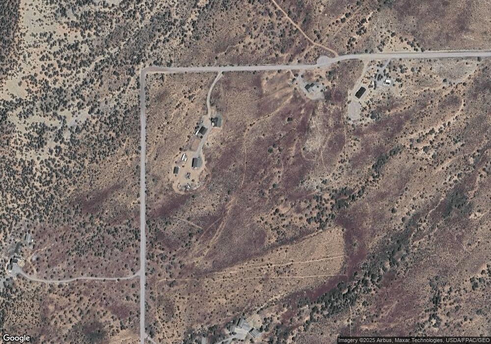
Map
Nearby Homes
- 23835 V66 Trail
- 22465 Horsefly Rd
- 20891 Solitude Rd
- 830 Tiyoweh Trail
- 67864 and 67918 Wildcat Trail
- 23855 Horsefly Rd
- Lot 4 6785 Ct
- Lot 1 6785 Ct
- Lot 3 6785 Ct
- TBD Ute Valley Dr Unit Lot 1
- TBD Ute Valley Dr Unit Lot 2
- TBD Government Springs Rd
- 21179 Highway 550
- 21475 Highway 550
- 22207 6840 Ct
- 68200 Ute Valley Dr
- 22130 6850 Rd Unit 210
- 22130 6850 Rd Unit 212
- 22130 6850 Rd Unit 210-215
- 22130 6850 Rd Unit 211
- 22674 V 66 Rd
- 22719 V 66 Trail
- 22924 V 66 Trail
- 22893 V 66 Trail
- 22775 Government Springs Rd
- 23077 Government Springs Rd
- 23039 Government Springs Rd
- 23127 V 66 Trail
- 0 Powerline Rd Unit 646543
- 22800 Government Springs Rd
- 34 Snow Bush Dr
- 22820 Government Springs Rd
- 23183 V 66 Trail
- 23270 V 66 Trail
- 22790 Government Springs Rd
- 22790 Government Springs Rd
- 22780 Government Springs Rd
- 23404 V66 Trail
- V66 Trail
- 22412 Government Springs Rd