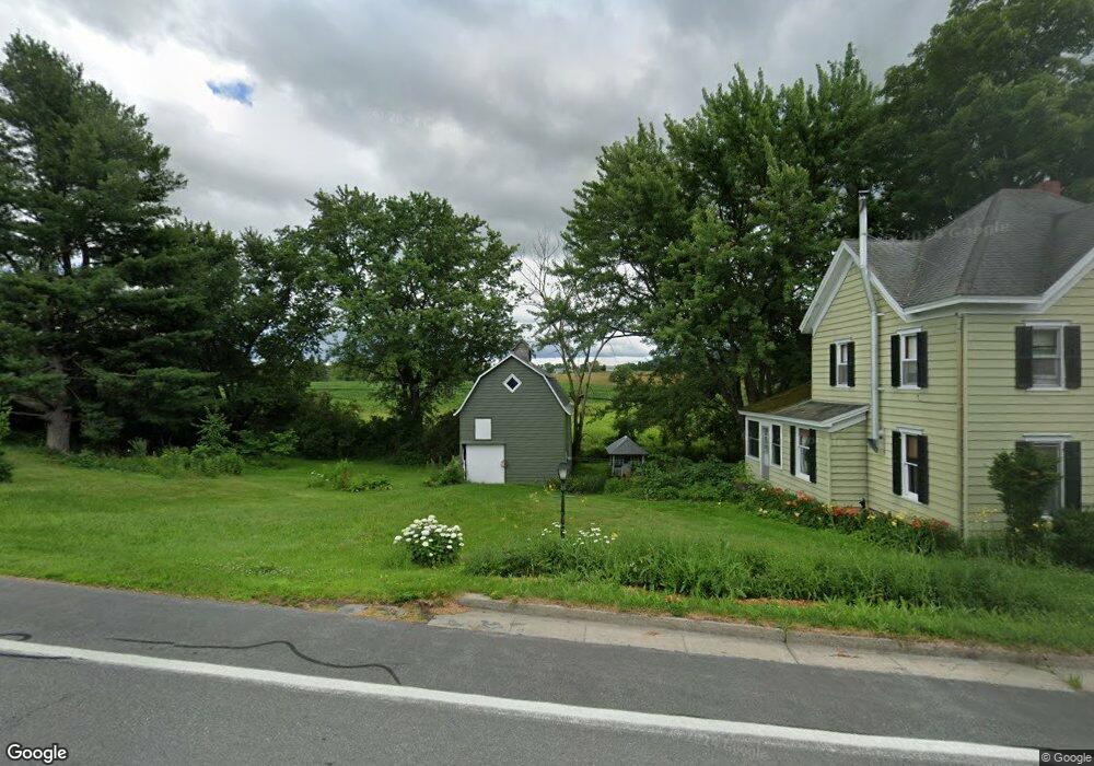
2272 State Route 165 Cobleskill, NY 12043
Estimated Value: $195,984 - $204,000
3
Beds
2
Baths
2,192
Sq Ft
$91/Sq Ft
Est. Value
About This Home
This home is located at 2272 State Route 165, Cobleskill, NY 12043 and is currently estimated at $200,328, approximately $91 per square foot. 2272 State Route 165 is a home located in Schoharie County with nearby schools including George D Ryder Elementary School, Joseph B Radez Elementary School, and Cobleskill Richmondville High School.
Ownership History
Date
Name
Owned For
Owner Type
Purchase Details
Closed on
Sep 12, 2023
Sold by
Loder Properties Inc
Bought by
Sweezey Theresa and Warner Malcum
Current Estimated Value
Home Financials for this Owner
Home Financials are based on the most recent Mortgage that was taken out on this home.
Original Mortgage
$145,790
Outstanding Balance
$142,789
Interest Rate
7.12%
Estimated Equity
$57,539
Purchase Details
Closed on
Dec 23, 1994
Sold by
Rice Betty T
Bought by
Tunney Mary Sharon
Create a Home Valuation Report for This Property
The Home Valuation Report is an in-depth analysis detailing your home's value as well as a comparison with similar homes in the area
Home Values in the Area
Average Home Value in this Area
Purchase History
| Date | Buyer | Sale Price | Title Company |
|---|---|---|---|
| Sweezey Theresa | -- | None Listed On Document | |
| Tunney Mary Sharon | $70,500 | -- |
Source: Public Records
Mortgage History
| Date | Status | Borrower | Loan Amount |
|---|---|---|---|
| Open | Sweezey Theresa | $145,790 |
Source: Public Records
Tax History Compared to Growth
Tax History
| Year | Tax Paid | Tax Assessment Tax Assessment Total Assessment is a certain percentage of the fair market value that is determined by local assessors to be the total taxable value of land and additions on the property. | Land | Improvement |
|---|---|---|---|---|
| 2024 | $3,738 | $72,100 | $9,400 | $62,700 |
| 2023 | $3,709 | $72,100 | $9,400 | $62,700 |
| 2022 | $3,662 | $72,100 | $9,400 | $62,700 |
| 2021 | $3,627 | $72,100 | $9,400 | $62,700 |
| 2020 | $2,415 | $72,100 | $9,400 | $62,700 |
| 2019 | $2,237 | $72,100 | $9,400 | $62,700 |
| 2018 | $2,237 | $72,100 | $9,400 | $62,700 |
| 2017 | $2,040 | $72,100 | $9,400 | $62,700 |
| 2016 | $2,060 | $72,100 | $9,400 | $62,700 |
| 2015 | -- | $72,100 | $9,400 | $62,700 |
| 2014 | -- | $72,100 | $9,400 | $62,700 |
Source: Public Records
Map
Nearby Homes
- 463 Cemetery Rd
- 6510 State Route 10
- 489 Ten Eyck Rd
- 164 Joe Chamberlain Rd
- 650 Mill Pond Rd
- 840 Clove Rd
- 7119 State Route 10
- 190 Wes Brown Rd
- 525 Furnaceville Rd
- 158 Honey Bee Rd
- 108 Pine Ridge Rd
- 138 Lantern Dr
- 5660 State Route 145
- 381 Spinner Rd
- 103 Franklin Bellinger Rd
- 169 Honey Hill Rd
- 1149 Slate Hill Rd
- 542 Highway Route 20
- 571 Chestnut St
- 427 Patrick Rd
- 2275 State Route 165
- 2266 State Route 165
- 2266 New York 165
- lOT9&10 Penny Ln
- 2256 State Route 165
- 2244 State Route 165
- 2275 New York 165
- 153 Park Ave
- 2305 State Route 165
- 147 Park Ave
- 2309 State Route 165
- 0 State Route 165 Unit 201424133
- 2316 New York 165
- 106 Mesick Ave
- 110 Mesick Ave
- 112 Mesick Ave
- 2282 State Route 165
- 141 Park Ave
- 2319 State Route 165
- 113 Mesick Ave