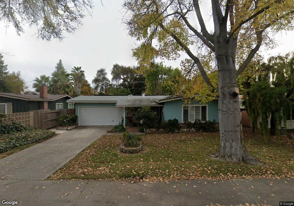
2272 W Swain Rd Unit 22 Stockton, CA 95207
Lincoln Village NeighborhoodEstimated Value: $357,000 - $414,000
3
Beds
1
Bath
1,141
Sq Ft
$335/Sq Ft
Est. Value
About This Home
This home is located at 2272 W Swain Rd Unit 22, Stockton, CA 95207 and is currently estimated at $382,174, approximately $334 per square foot. 2272 W Swain Rd Unit 22 is a home located in San Joaquin County with nearby schools including Tully C. Knoles School, Sierra Middle School, and Lincoln High School.
Ownership History
Date
Name
Owned For
Owner Type
Purchase Details
Closed on
Apr 24, 2025
Sold by
Mooney Catherine R
Bought by
Catherine R Mooney Revocable Trust and Mooney
Current Estimated Value
Purchase Details
Closed on
Feb 20, 1998
Sold by
Herzick Jerry
Bought by
Mooney Catherine R
Home Financials for this Owner
Home Financials are based on the most recent Mortgage that was taken out on this home.
Original Mortgage
$86,914
Interest Rate
6.9%
Mortgage Type
FHA
Create a Home Valuation Report for This Property
The Home Valuation Report is an in-depth analysis detailing your home's value as well as a comparison with similar homes in the area
Home Values in the Area
Average Home Value in this Area
Purchase History
| Date | Buyer | Sale Price | Title Company |
|---|---|---|---|
| Catherine R Mooney Revocable Trust | -- | None Listed On Document | |
| Mooney Catherine R | $87,000 | Central Valley Title Company |
Source: Public Records
Mortgage History
| Date | Status | Borrower | Loan Amount |
|---|---|---|---|
| Previous Owner | Mooney Catherine R | $86,914 |
Source: Public Records
Tax History Compared to Growth
Tax History
| Year | Tax Paid | Tax Assessment Tax Assessment Total Assessment is a certain percentage of the fair market value that is determined by local assessors to be the total taxable value of land and additions on the property. | Land | Improvement |
|---|---|---|---|---|
| 2025 | $3,762 | $138,904 | $63,863 | $75,041 |
| 2024 | $3,638 | $136,181 | $62,611 | $73,570 |
| 2023 | $3,545 | $133,512 | $61,384 | $72,128 |
| 2022 | $3,316 | $130,895 | $60,181 | $70,714 |
| 2021 | $3,254 | $128,329 | $59,001 | $69,328 |
| 2020 | $3,219 | $127,015 | $58,397 | $68,618 |
| 2019 | $3,195 | $124,525 | $57,252 | $67,273 |
| 2018 | $3,117 | $122,084 | $56,130 | $65,954 |
| 2017 | $3,087 | $119,691 | $55,030 | $64,661 |
| 2016 | $2,874 | $117,345 | $53,952 | $63,393 |
| 2014 | $2,886 | $113,318 | $52,100 | $61,218 |
Source: Public Records
Map
Nearby Homes
- 2252 Canyon Creek Dr
- 2128 Canyon Creek Dr
- 1947 Rosecrans Way
- 2014 Douglas Rd
- 1929 W Swain Rd
- 2009 Cedar Ridge Dr
- 2005 Cedar Ridge Dr
- 2447 Calhoun Way
- 2421 Meadow Lake Dr
- 1860 Douglas Rd
- 2252 W Benjamin Holt Dr
- 1864 Polk Way
- 2433 Pheasant Run Cir
- 1707 W Swain Rd Unit 5
- 5522 Teal Ct
- 2039 W Benjamin Holt Dr
- 5734 Turtle Valley Dr
- 1703 Polk Way
- 1629 Porter Way
- 1633 Porter Way
- 2270 W Swain Rd
- 2264 W Swain Rd
- 2316 W Swain Rd
- 2254 W Swain Rd
- 2259 W Swain Rd
- 2244 W Swain Rd
- 2275 W Swain Rd
- 2305 W Swain Rd
- 6023 Swain Ct Unit 22
- 2334 W Swain Rd
- 2236 W Swain Rd
- 2323 W Swain Rd
- 2344 W Swain Rd
- 6012 Swain Ct
- 2233 Canyon Creek Dr
- 2225 Canyon Creek Dr
- 2228 W Swain Rd
- 6033 Swain Ct
- 2335 W Swain Rd
- 2217 Canyon Creek Dr