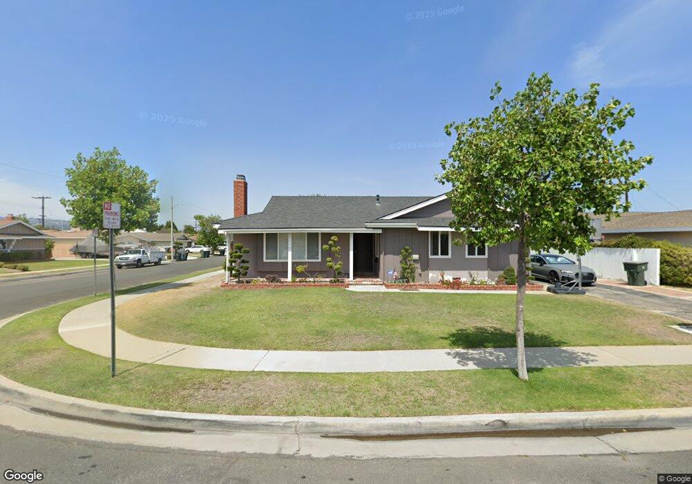
22721 Date Ave Torrance, CA 90505
Southwood Sunray NeighborhoodEstimated Value: $1,223,252 - $1,389,000
4
Beds
3
Baths
1,744
Sq Ft
$762/Sq Ft
Est. Value
About This Home
This home is located at 22721 Date Ave, Torrance, CA 90505 and is currently estimated at $1,328,313, approximately $761 per square foot. 22721 Date Ave is a home located in Los Angeles County with nearby schools including Hickory Elementary School, Madrona Middle School, and Torrance High School.
Ownership History
Date
Name
Owned For
Owner Type
Purchase Details
Closed on
Sep 17, 2009
Sold by
Toya George J and Toya May Y
Bought by
Toya George J and Toya May Y
Current Estimated Value
Purchase Details
Closed on
Feb 7, 2008
Sold by
Macnicol Robert K and Mac Nicol Edna L
Bought by
Toya George J and Toya May Y
Home Financials for this Owner
Home Financials are based on the most recent Mortgage that was taken out on this home.
Original Mortgage
$100,000
Interest Rate
5.41%
Mortgage Type
Purchase Money Mortgage
Purchase Details
Closed on
May 25, 2006
Sold by
Macnicol Robert K and Mac Nicol Edna L
Bought by
Macnicol Robert K and Mac Nicol Edna L
Home Financials for this Owner
Home Financials are based on the most recent Mortgage that was taken out on this home.
Original Mortgage
$417,000
Interest Rate
6.66%
Mortgage Type
New Conventional
Create a Home Valuation Report for This Property
The Home Valuation Report is an in-depth analysis detailing your home's value as well as a comparison with similar homes in the area
Home Values in the Area
Average Home Value in this Area
Purchase History
| Date | Buyer | Sale Price | Title Company |
|---|---|---|---|
| Toya George J | -- | None Available | |
| Toya George J | $680,000 | Progressive Title Company | |
| Macnicol Robert K | -- | Assured Quality Title Co |
Source: Public Records
Mortgage History
| Date | Status | Borrower | Loan Amount |
|---|---|---|---|
| Closed | Toya George J | $100,000 | |
| Previous Owner | Macnicol Robert K | $417,000 |
Source: Public Records
Tax History
| Year | Tax Paid | Tax Assessment Tax Assessment Total Assessment is a certain percentage of the fair market value that is determined by local assessors to be the total taxable value of land and additions on the property. | Land | Improvement |
|---|---|---|---|---|
| 2025 | $10,175 | $893,175 | $788,103 | $105,072 |
| 2024 | $10,175 | $875,662 | $772,650 | $103,012 |
| 2023 | $9,988 | $858,493 | $757,500 | $100,993 |
| 2022 | $9,856 | $841,661 | $742,648 | $99,013 |
| 2021 | $9,679 | $825,159 | $728,087 | $97,072 |
| 2019 | $9,400 | $800,687 | $706,493 | $94,194 |
| 2018 | $9,095 | $784,989 | $692,641 | $92,348 |
| 2016 | $8,694 | $754,509 | $665,746 | $88,763 |
| 2015 | $8,506 | $743,176 | $655,746 | $87,430 |
| 2014 | $8,143 | $716,000 | $632,000 | $84,000 |
Source: Public Records
Map
Nearby Homes
- 22703 Elm Ave
- 22615 Fern Ave
- 2605 Sepulveda Blvd Unit 216
- 2333 W 230th Place
- 23313 Almarosa Ave
- 2254 W 229th Place
- 22628 Juniper Ave
- 2513 Dorset Dr
- 2123 Shelburne Way
- 2237 W 230th Place
- 2119 Shelburne Way
- 2859 W 235th St
- 2355 W 235th Place
- 2615 Plaza Del Amo Unit 606
- 2720 Gramercy Ave Unit 5
- 2571 Plaza Del Amo Unit 301
- 2571 Plaza Del Amo Unit 109
- 2571 Plaza Del Amo Unit 107
- 2413 Arlington Ave
- 22926 Maple Ave
- 22711 Date Ave
- 22735 Date Ave
- 22707 Date Ave
- 22741 Date Ave
- 22732 Date Ave
- 2528 W 227th St
- 22736 Date Ave
- 22716 Date Ave
- 22728 Date Ave
- 22710 Date Ave
- 22740 Date Ave
- 22720 Date Ave
- 2536 W 227th St
- 22745 Date Ave
- 22704 Date Ave
- 22724 Date Ave
- 22744 Date Ave
- 2540 W 227th St
- 22906 Wade Ave
- 22904 Wade Ave
Your Personal Tour Guide
Ask me questions while you tour the home.