22722 State Highway 74 Purcell, OK 73080
Estimated Value: $255,901 - $353,000
3
Beds
3
Baths
1,892
Sq Ft
$153/Sq Ft
Est. Value
About This Home
This home is located at 22722 State Highway 74, Purcell, OK 73080 and is currently estimated at $290,225, approximately $153 per square foot. 22722 State Highway 74 is a home located in McClain County with nearby schools including Purcell Elementary School, Purcell Intermediate School, and Purcell Junior High School.
Ownership History
Date
Name
Owned For
Owner Type
Purchase Details
Closed on
Apr 1, 2016
Sold by
Palumbo Mario D and Palumbo Amanda D
Bought by
Teigen Daniel J
Current Estimated Value
Home Financials for this Owner
Home Financials are based on the most recent Mortgage that was taken out on this home.
Original Mortgage
$169,665
Outstanding Balance
$134,289
Interest Rate
3.65%
Mortgage Type
New Conventional
Estimated Equity
$155,936
Purchase Details
Closed on
May 6, 2009
Sold by
Palumbo Mario D and Palumbo Amanda D
Bought by
Palumbo Mario D and Palumbo Amanda D
Purchase Details
Closed on
Aug 14, 2006
Sold by
Mcclain Bank
Bought by
Palumbo Mario D
Home Financials for this Owner
Home Financials are based on the most recent Mortgage that was taken out on this home.
Original Mortgage
$118,278
Interest Rate
6.75%
Mortgage Type
VA
Create a Home Valuation Report for This Property
The Home Valuation Report is an in-depth analysis detailing your home's value as well as a comparison with similar homes in the area
Home Values in the Area
Average Home Value in this Area
Purchase History
| Date | Buyer | Sale Price | Title Company |
|---|---|---|---|
| Teigen Daniel J | $165,000 | None Available | |
| Palumbo Mario D | -- | None Available | |
| Palumbo Mario D | $114,500 | None Available |
Source: Public Records
Mortgage History
| Date | Status | Borrower | Loan Amount |
|---|---|---|---|
| Open | Teigen Daniel J | $169,665 | |
| Previous Owner | Palumbo Mario D | $118,278 |
Source: Public Records
Tax History Compared to Growth
Tax History
| Year | Tax Paid | Tax Assessment Tax Assessment Total Assessment is a certain percentage of the fair market value that is determined by local assessors to be the total taxable value of land and additions on the property. | Land | Improvement |
|---|---|---|---|---|
| 2025 | $2,015 | $19,470 | $3,269 | $16,201 |
| 2024 | $2,015 | $18,543 | $3,114 | $15,429 |
| 2023 | $2,015 | $17,661 | $2,865 | $14,796 |
| 2022 | $1,806 | $16,819 | $2,783 | $14,036 |
| 2021 | $1,741 | $16,019 | $3,630 | $12,389 |
| 2020 | $1,725 | $16,019 | $3,630 | $12,389 |
| 2019 | $1,998 | $18,231 | $4,290 | $13,941 |
| 2018 | $1,972 | $18,150 | $4,290 | $13,860 |
| 2017 | $1,927 | $18,150 | $4,290 | $13,860 |
| 2016 | $1,037 | $10,646 | $2,488 | $8,158 |
| 2015 | $1,019 | $10,336 | $2,420 | $7,916 |
| 2014 | $977 | $10,036 | $2,420 | $7,616 |
Source: Public Records
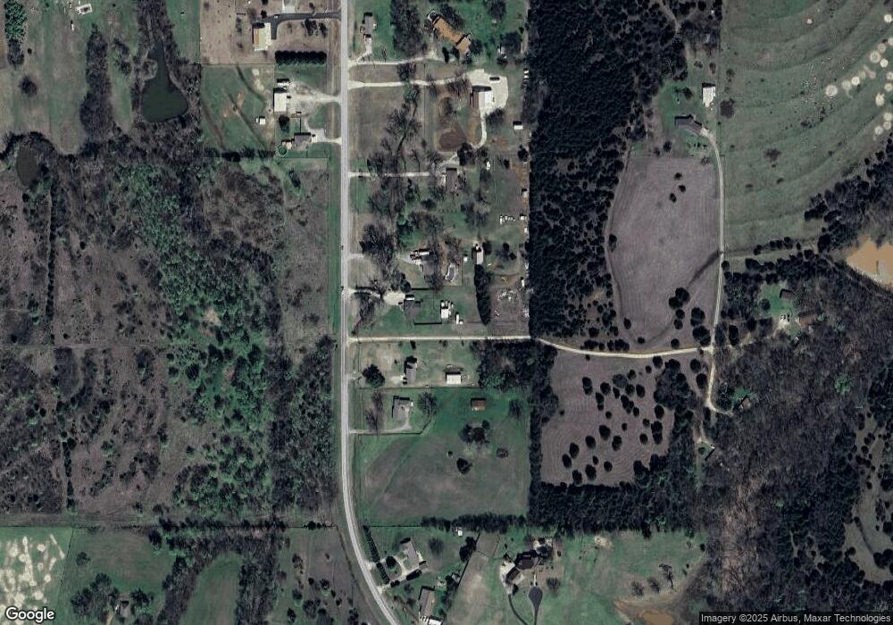
Map
Nearby Homes
- 22453 State Highway 74
- 22455 State Highway 74
- 1126 Woodbrook Dr
- 2115 N 9th Ave
- 1203 Mayes St
- 937 Luglena Ln
- 933 Luglena Ln
- 1068 Westbrook Blvd
- 1064 Westbrook Blvd
- 1060 Westbrook Blvd
- 1085 Blue Ridge Dr
- 1081 Blue Ridge Dr
- 1077 Blue Ridge Dr
- 1073 Blue Ridge Dr
- 1069 Blue Ridge Dr
- 1065 Blue Ridge Dr
- 1061 Blue Ridge Dr
- 1057 Blue Ridge Dr
- 1053 Blue Ridge Dr
- 1069 N Blue Ridge Dr
- 22722 State Highway 74
- 22742 State Highway 74
- 22672 State Highway 74
- 22784 State Highway 74
- 22805 State Highway 74
- 22566 Oklahoma 74
- 22566 State Highway 74
- 22864 State Highway 74
- 22432 State Highway 74
- 22848 State Highway 74
- 22540 State Highway 74
- 22873 State Highway 74
- 22873 State Highway 74
- 26251 226th St
- 22542 Meadowlark Rd
- 22900 State Highway 74
- 22562 Meadowlark Rd
- 22459 State Highway 74
- 26298 226th St
- 22935 State Highway 74