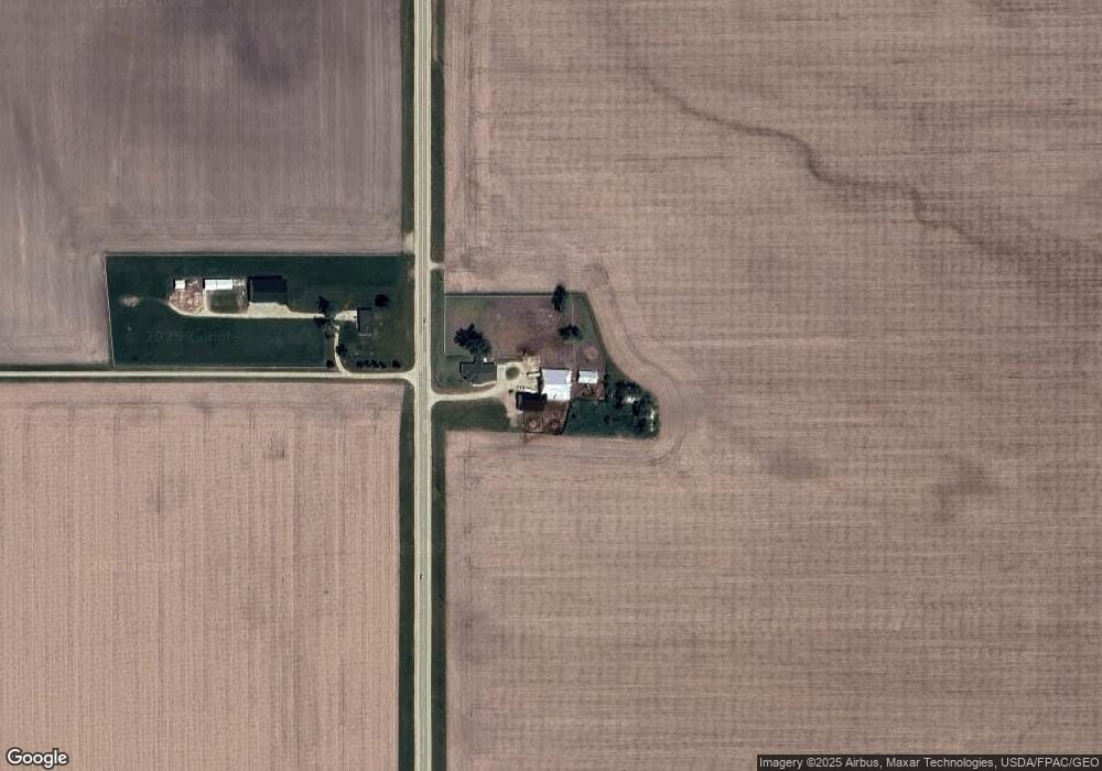
2275 280th Ave de Witt, IA 52742
Estimated Value: $354,000 - $685,493
5
Beds
3
Baths
2,452
Sq Ft
$222/Sq Ft
Est. Value
About This Home
This home is located at 2275 280th Ave, de Witt, IA 52742 and is currently estimated at $543,164, approximately $221 per square foot. 2275 280th Ave is a home located in Clinton County with nearby schools including Ekstrand Elementary School, Central Dewitt Intermediate School, and Central Dewitt Middle School.
Ownership History
Date
Name
Owned For
Owner Type
Purchase Details
Closed on
Sep 30, 2022
Sold by
Mary Burnett Revocable Trust
Bought by
Dvs Building Lc
Current Estimated Value
Purchase Details
Closed on
Dec 27, 2018
Sold by
Bsuch Wayne L and Busch Kathleen A
Bought by
Reemtsma Phillip C
Purchase Details
Closed on
Mar 4, 2013
Sold by
Reemtsma Phillip C and Reemtsma Angela
Bought by
Reemtsma Phillip C and Reemtsma Angela
Home Financials for this Owner
Home Financials are based on the most recent Mortgage that was taken out on this home.
Original Mortgage
$180,000
Interest Rate
3.38%
Mortgage Type
New Conventional
Create a Home Valuation Report for This Property
The Home Valuation Report is an in-depth analysis detailing your home's value as well as a comparison with similar homes in the area
Home Values in the Area
Average Home Value in this Area
Purchase History
| Date | Buyer | Sale Price | Title Company |
|---|---|---|---|
| Dvs Building Lc | -- | -- | |
| Reemtsma Phillip C | $399,000 | -- | |
| Reemtsma Phillip C | -- | None Available |
Source: Public Records
Mortgage History
| Date | Status | Borrower | Loan Amount |
|---|---|---|---|
| Previous Owner | Reemtsma Phillip C | $180,000 |
Source: Public Records
Tax History Compared to Growth
Tax History
| Year | Tax Paid | Tax Assessment Tax Assessment Total Assessment is a certain percentage of the fair market value that is determined by local assessors to be the total taxable value of land and additions on the property. | Land | Improvement |
|---|---|---|---|---|
| 2025 | $7,282 | $598,790 | $4,710 | $594,080 |
| 2024 | $7,282 | $543,600 | $3,590 | $540,010 |
| 2023 | $6,508 | $543,600 | $3,590 | $540,010 |
| 2022 | $5,144 | $492,890 | $2,820 | $490,070 |
| 2021 | $5,174 | $356,180 | $2,820 | $353,360 |
| 2020 | $5,174 | $340,140 | $2,970 | $337,170 |
| 2019 | $5,184 | $341,490 | $0 | $0 |
| 2018 | $5,110 | $341,490 | $0 | $0 |
| 2017 | $5,110 | $315,400 | $0 | $0 |
| 2016 | $2,476 | $165,200 | $0 | $0 |
| 2015 | $2,476 | $151,440 | $0 | $0 |
| 2014 | $2,312 | $151,440 | $0 | $0 |
| 2013 | $2,284 | $0 | $0 | $0 |
Source: Public Records
Map
Nearby Homes
- 2127 Scenic Ridge
- 1144 Brookview Dr
- lot 2 225th St
- lot 1 225th St
- 1104 15th St
- 1244 Circle Dr
- 1323 5th Ave
- 709 11th St
- 1011 10th St
- 2124 Meadowview Ct
- 0 9th St
- 0 285th St Old Highway 61 Unit parcel 1808590000
- 285th Ave Old Hwy 61 Unit Parcels 1808590000/
- 285th Ave Old Hwy 61 Unit Parcel-1808600000/1
- 407 E 10th St
- 401 10th St
- 1527 11th St
- 910 4th Ave
- 824 7th St
- 1217 7th St
- 2274 280th Ave
- 2309 280th Ave
- 2306 280th Ave
- 1630 280th Ave
- 2126 Scenic Ridge
- 2116 Scenic Ridge
- 2117 Scenic Ridge
- 2106 Scenic Ridge
- Lot 14 Scenic Ridge
- 2026 Scenic Ridge
- 2027 Scenic Ridge
- 2107 Scenic Ridge
- 000 Scenic Ridge
- 2309 17th Ave
- 2309 17th Ave
- 2822 234th St
- 1108 Scenic Hill Ln
- 1300 Scenic Hill Ln
- 1323 Scenic Hill Ln
- 1208 Scenic Hill Ln