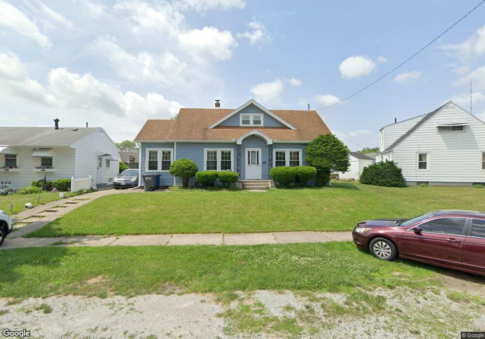
2277 Hinde Rd Toledo, OH 43607
Scott Park NeighborhoodEstimated Value: $101,000 - $123,000
3
Beds
1
Bath
1,540
Sq Ft
$73/Sq Ft
Est. Value
About This Home
This home is located at 2277 Hinde Rd, Toledo, OH 43607 and is currently estimated at $112,062, approximately $72 per square foot. 2277 Hinde Rd is a home located in Lucas County with nearby schools including Jesup W. Scott High School, Explorers Academy, and Explorers Academy of Science and Technology.
Ownership History
Date
Name
Owned For
Owner Type
Purchase Details
Closed on
Apr 28, 2000
Sold by
Brown Donald A and Brown Wanda D
Bought by
Baber Kristen M
Current Estimated Value
Home Financials for this Owner
Home Financials are based on the most recent Mortgage that was taken out on this home.
Original Mortgage
$4,000
Interest Rate
8.26%
Mortgage Type
Stand Alone Second
Purchase Details
Closed on
Aug 26, 1998
Sold by
Kilisz Agnes M
Bought by
Brown Donald A and Brown Wanda D
Create a Home Valuation Report for This Property
The Home Valuation Report is an in-depth analysis detailing your home's value as well as a comparison with similar homes in the area
Home Values in the Area
Average Home Value in this Area
Purchase History
| Date | Buyer | Sale Price | Title Company |
|---|---|---|---|
| Baber Kristen M | $58,500 | Louisville Title Agency For | |
| Brown Donald A | $55,900 | -- |
Source: Public Records
Mortgage History
| Date | Status | Borrower | Loan Amount |
|---|---|---|---|
| Closed | Baber Kristen M | $4,000 | |
| Open | Baber Kristen M | $55,575 |
Source: Public Records
Tax History Compared to Growth
Tax History
| Year | Tax Paid | Tax Assessment Tax Assessment Total Assessment is a certain percentage of the fair market value that is determined by local assessors to be the total taxable value of land and additions on the property. | Land | Improvement |
|---|---|---|---|---|
| 2024 | $765 | $22,470 | $6,755 | $15,715 |
| 2023 | $1,713 | $24,850 | $4,480 | $20,370 |
| 2022 | $1,688 | $24,850 | $4,480 | $20,370 |
| 2021 | $1,745 | $24,850 | $4,480 | $20,370 |
| 2020 | $1,680 | $20,755 | $3,710 | $17,045 |
| 2019 | $1,630 | $20,755 | $3,710 | $17,045 |
| 2018 | $1,646 | $20,755 | $3,710 | $17,045 |
| 2017 | $1,641 | $20,300 | $3,640 | $16,660 |
| 2016 | $1,651 | $58,000 | $10,400 | $47,600 |
| 2015 | $1,666 | $58,000 | $10,400 | $47,600 |
| 2014 | $1,277 | $20,300 | $3,640 | $16,660 |
| 2013 | $1,277 | $20,300 | $3,640 | $16,660 |
Source: Public Records
Map
Nearby Homes
- 2307 Avondale Ave
- 913 Coventry Ave
- 908 Coventry Ave
- 605 Waverly Ave
- 2145 Dorr St
- 1215 Woodstock Ave
- 1329 Parkside Blvd
- 1318 Addington Rd
- 2033 Crosswell Place
- 1131 Montrose Ave
- 1423 Roosevelt Ave
- 1940 Crosswell Place
- 1513 Waverly Ave
- 1735 Perth St
- 1420 Upton Ave
- 620 Broer Ave
- 2000 Oakwood Ave
- 1723 Potomac Dr
- 1771 Kensington Rd
- 1117 Broer Ave