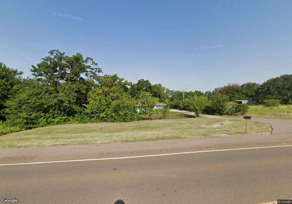
2277 N Highway 102 McLoud, OK 74851
Midway NeighborhoodEstimated Value: $188,154 - $266,000
3
Beds
2
Baths
1,152
Sq Ft
$199/Sq Ft
Est. Value
About This Home
This home is located at 2277 N Highway 102, McLoud, OK 74851 and is currently estimated at $229,289, approximately $199 per square foot. 2277 N Highway 102 is a home located in Lincoln County with nearby schools including McLoud Elementary School, McLoud Intermediate School, and McLoud Junior High School.
Ownership History
Date
Name
Owned For
Owner Type
Purchase Details
Closed on
May 15, 2015
Sold by
Thornton Kyle and Thornton Laci
Bought by
Bidaoui Jaoued
Current Estimated Value
Home Financials for this Owner
Home Financials are based on the most recent Mortgage that was taken out on this home.
Original Mortgage
$131,818
Outstanding Balance
$104,891
Interest Rate
4.62%
Mortgage Type
FHA
Estimated Equity
$124,398
Purchase Details
Closed on
Dec 7, 1993
Sold by
Porter Eddie Ray
Bought by
Thornton Darrell Ray and Thornton Dor
Purchase Details
Closed on
May 26, 1992
Sold by
Mauldin Marsha Knapp
Bought by
Porter Eddie Ray and Porter Karen R
Create a Home Valuation Report for This Property
The Home Valuation Report is an in-depth analysis detailing your home's value as well as a comparison with similar homes in the area
Home Values in the Area
Average Home Value in this Area
Purchase History
| Date | Buyer | Sale Price | Title Company |
|---|---|---|---|
| Bidaoui Jaoued | $134,500 | Capitol Abstract & Title Co | |
| Thornton Darrell Ray | $42,000 | -- | |
| Porter Eddie Ray | -- | -- | |
| Porter Eddie Ray | $28,000 | -- |
Source: Public Records
Mortgage History
| Date | Status | Borrower | Loan Amount |
|---|---|---|---|
| Open | Bidaoui Jaoued | $131,818 |
Source: Public Records
Tax History Compared to Growth
Tax History
| Year | Tax Paid | Tax Assessment Tax Assessment Total Assessment is a certain percentage of the fair market value that is determined by local assessors to be the total taxable value of land and additions on the property. | Land | Improvement |
|---|---|---|---|---|
| 2024 | $1,443 | $15,550 | $2,714 | $12,836 |
| 2023 | $1,443 | $16,163 | $2,714 | $13,449 |
| 2022 | $1,299 | $14,810 | $2,447 | $12,363 |
| 2021 | $1,627 | $14,104 | $2,579 | $11,525 |
| 2020 | $1,179 | $13,433 | $2,844 | $10,589 |
| 2019 | $1,179 | $13,010 | $2,758 | $10,252 |
| 2018 | $1,196 | $12,390 | $2,688 | $9,702 |
| 2017 | $1,200 | $12,249 | $2,688 | $9,561 |
| 2016 | $1,082 | $12,405 | $2,456 | $9,949 |
| 2015 | $193 | $3,183 | $1,029 | $2,154 |
| 2014 | $177 | $3,090 | $928 | $2,162 |
Source: Public Records
Map
Nearby Homes
- 105123 S Highway 102
- 29261 Spur Cir
- 29273 Spur Cir
- 15961 Prairie Rose Dr
- 29243 Apache Dr
- 15952 Prairie Rose Dr
- 15954 Lasso Cir
- 106411 Happy Trails Rd
- 106851 S Paula Jean Dr
- 115 Thornbrue Dr
- 0 E 1070 Rd
- 334174 E Painted Sky Rd
- 104741 Pimlico Pass
- 0004 S 3340 10 Acres Rd
- Williamette Plan at Preakness Trails
- White River Plan at Preakness Trails
- Wallowa Plan at Preakness Trails
- Talladega Plan at Preakness Trails
- Umatilla Plan at Preakness Trails
- Sierra Plan at Preakness Trails
- 105128 S Highway 102
- 105053 S Highway 102
- 105084 S Highway 102
- 105094 S Highway 102
- 105041 S Highway 102
- 331831 E Highway 62
- 331754 E Highway 62
- 370 Rr 2
- 520 Rr 2
- 61 Steven Dr
- 331421 E Highway 62
- 57 Steven Dr
- 105150 S Steven Dr
- 105280 S Steven Dr
- 76 Steven Dr
- 74 Steven Dr
- 105165 S Steven Dr
- 105221 S Steven Dr
- 105143 S Steven Dr
- 54 Steven Dr