Estimated Value: $371,000 - $455,530
5
Beds
1
Bath
2,936
Sq Ft
$141/Sq Ft
Est. Value
About This Home
This home is located at 22788 652nd Ave, Alden, MN 56009 and is currently estimated at $413,265, approximately $140 per square foot. 22788 652nd Ave is a home located in Freeborn County with nearby schools including Alden-Conger Elementary School and Alden-Conger Secondary School.
Ownership History
Date
Name
Owned For
Owner Type
Purchase Details
Closed on
Dec 28, 2015
Sold by
Newman Kory Kory
Bought by
Borge Timothy Timothy
Current Estimated Value
Purchase Details
Closed on
Feb 28, 2013
Sold by
Dolton James A and Dolton Renae
Bought by
Newman Kory L and Newman Amy M
Home Financials for this Owner
Home Financials are based on the most recent Mortgage that was taken out on this home.
Original Mortgage
$49,900
Interest Rate
3.49%
Purchase Details
Closed on
Feb 25, 2013
Sold by
Dolton Evelyn
Bought by
Dolton James A and Dolton Renae
Home Financials for this Owner
Home Financials are based on the most recent Mortgage that was taken out on this home.
Original Mortgage
$49,900
Interest Rate
3.49%
Create a Home Valuation Report for This Property
The Home Valuation Report is an in-depth analysis detailing your home's value as well as a comparison with similar homes in the area
Home Values in the Area
Average Home Value in this Area
Purchase History
| Date | Buyer | Sale Price | Title Company |
|---|---|---|---|
| Borge Timothy Timothy | $49,500 | -- | |
| Newman Kory L | -- | -- | |
| Dolton Evelyn | -- | -- | |
| Dolton James A | -- | -- |
Source: Public Records
Mortgage History
| Date | Status | Borrower | Loan Amount |
|---|---|---|---|
| Previous Owner | Newman Kory L | $49,900 |
Source: Public Records
Tax History Compared to Growth
Tax History
| Year | Tax Paid | Tax Assessment Tax Assessment Total Assessment is a certain percentage of the fair market value that is determined by local assessors to be the total taxable value of land and additions on the property. | Land | Improvement |
|---|---|---|---|---|
| 2025 | $6,304 | $445,900 | $56,300 | $389,600 |
| 2024 | $6,638 | $423,300 | $56,300 | $367,000 |
| 2023 | $4,748 | $405,400 | $56,300 | $349,100 |
| 2022 | $4,048 | $383,500 | $51,300 | $332,200 |
| 2021 | $4,082 | $314,900 | $40,000 | $274,900 |
| 2020 | $4,322 | $306,300 | $40,000 | $266,300 |
| 2019 | $4,162 | $307,300 | $40,000 | $267,300 |
| 2018 | $864 | $0 | $0 | $0 |
| 2016 | $860 | $0 | $0 | $0 |
| 2015 | $788 | $0 | $0 | $0 |
| 2014 | $782 | $0 | $0 | $0 |
| 2012 | $1,094 | $0 | $0 | $0 |
Source: Public Records
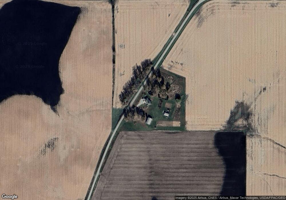
Map
Nearby Homes
- 23371 650th Ave
- 119 Hall Ln
- 232 N Broadway
- 146 Washington Ave
- 259 Elizabeth St
- 150 Mason Ave
- 136 1st Ave W
- 304 S Broadway
- 20343 680th Ave Unit LotWP001
- 25975 630th Ave
- 22598 700th Ave
- 67927 270th St
- 65672 275th St
- 608 Lakeshore Dr
- 206 Mckinley St
- 15742 675th Ave
- 15815 620th Ave
- TBD Lake Chapeau Dr
- 2704 Campus Ln
- 68540 300th St
- 65372 230th St
- 22407 652nd Ave
- 22799 650th Ave
- 23125 650th Ave
- 434 Euclid St
- 425 Euclid St
- 426 Euclid St
- 418 Euclid St
- 409 Euclid St
- 200 Hemmingsen St
- 22314 650th Ave
- 204 Hemmingsen St
- 410 Euclid St
- 208 Hemmingsen St
- 212 Hemmingsen St
- 22283 650th Ave
- 399 Euclid St
- 398 Euclid St
- 389 Euclid St
- 318 N Powers Ave