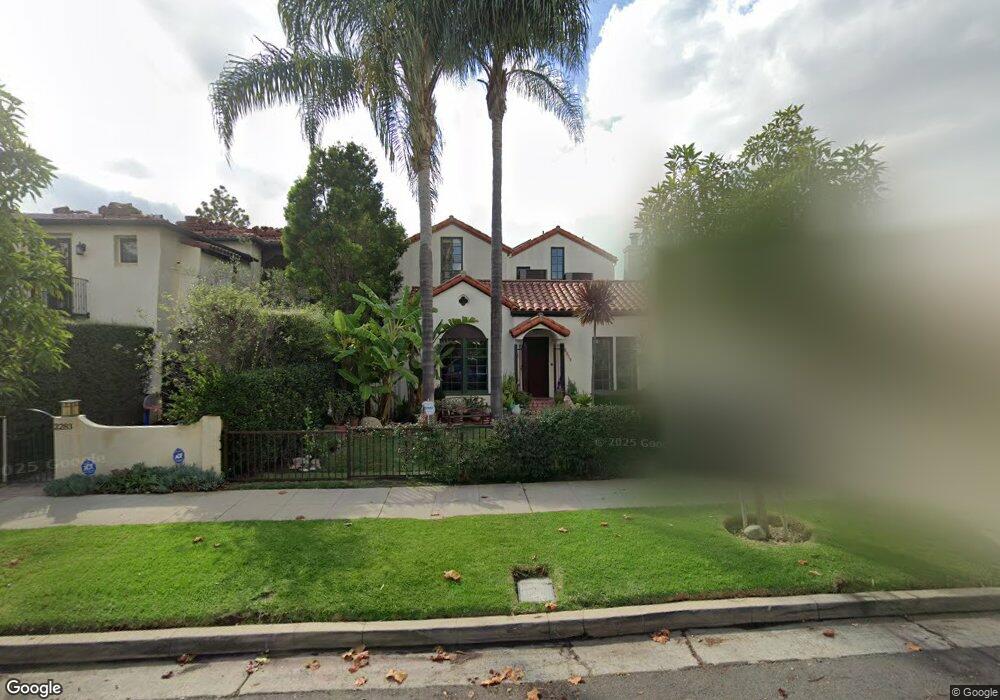
2279 Manning Ave Los Angeles, CA 90064
West Los Angeles NeighborhoodEstimated Value: $1,932,000 - $2,965,497
4
Beds
3
Baths
3,186
Sq Ft
$777/Sq Ft
Est. Value
About This Home
This home is located at 2279 Manning Ave, Los Angeles, CA 90064 and is currently estimated at $2,476,374, approximately $777 per square foot. 2279 Manning Ave is a home located in Los Angeles County with nearby schools including Daniel Webster Middle School, Westwood Charter School, and Ralph Waldo Emerson Community Charter Middle School.
Ownership History
Date
Name
Owned For
Owner Type
Purchase Details
Closed on
Aug 24, 2004
Sold by
Hankinson Oliver
Bought by
Hankinson Oliver and Hankinson Karen
Current Estimated Value
Purchase Details
Closed on
Jan 28, 1997
Sold by
Imani Nasrin
Bought by
Hankinson Oliver and Hankinson Karen
Home Financials for this Owner
Home Financials are based on the most recent Mortgage that was taken out on this home.
Original Mortgage
$346,000
Outstanding Balance
$37,936
Interest Rate
7.86%
Estimated Equity
$2,438,438
Create a Home Valuation Report for This Property
The Home Valuation Report is an in-depth analysis detailing your home's value as well as a comparison with similar homes in the area
Home Values in the Area
Average Home Value in this Area
Purchase History
| Date | Buyer | Sale Price | Title Company |
|---|---|---|---|
| Hankinson Oliver | -- | -- | |
| Hankinson Oliver | $432,500 | Progressive Title Company |
Source: Public Records
Mortgage History
| Date | Status | Borrower | Loan Amount |
|---|---|---|---|
| Open | Hankinson Oliver | $346,000 |
Source: Public Records
Tax History
| Year | Tax Paid | Tax Assessment Tax Assessment Total Assessment is a certain percentage of the fair market value that is determined by local assessors to be the total taxable value of land and additions on the property. | Land | Improvement |
|---|---|---|---|---|
| 2025 | $11,755 | $961,302 | $492,999 | $468,303 |
| 2024 | $11,755 | $942,454 | $483,333 | $459,121 |
| 2023 | $11,535 | $923,975 | $473,856 | $450,119 |
| 2022 | $11,008 | $905,859 | $464,565 | $441,294 |
| 2021 | $10,859 | $888,098 | $455,456 | $432,642 |
| 2020 | $10,968 | $878,992 | $450,786 | $428,206 |
| 2019 | $10,538 | $861,758 | $441,948 | $419,810 |
| 2018 | $10,440 | $844,862 | $433,283 | $411,579 |
| 2016 | $9,966 | $812,057 | $416,459 | $395,598 |
| 2015 | $9,822 | $799,860 | $410,204 | $389,656 |
| 2014 | $9,858 | $784,193 | $402,169 | $382,024 |
Source: Public Records
Map
Nearby Homes
- 10591 Ayres Ave
- 10636 Ayres Ave
- 10575 Cushdon Ave
- 2027 Pelham Ave
- 2115 Holmby Ave
- 2301 S Beverly Glen Blvd Unit 105
- 2323 S Beverly Glen Blvd Unit 9
- 10585 Esther Ave
- 2234 Midvale Ave
- 1951 1/2 Manning Ave
- 2175 S Beverly Glen Blvd Unit 201
- 2240 S Beverly Glen Blvd Unit 103
- 2112 Linnington Ave
- 10417 Louisiana Ave Unit PH4
- 1948 Malcolm Ave Unit 305
- 10396 Almayo Ave Unit 1
- 10396 Almayo Ave Unit 5
- 1909 Pelham Ave Unit 111
- 1951 Malcolm Ave Unit 206
- 2642 Manning Ave
- 2283 Manning Ave
- 2273 Manning Ave
- 2269 Manning Ave
- 2289 Manning Ave
- 2276 Pelham Ave
- 2265 Manning Ave
- 2280 Pelham Ave
- 2270 Pelham Ave
- 2286 Pelham Ave
- 2266 Pelham Ave
- 2261 Manning Ave
- 2278 Manning Ave
- 2282 Manning Ave
- 2272 Manning Ave
- 2301 Manning Ave
- 2260 Pelham Ave
- 2268 Manning Ave
- 2288 Manning Ave
- 2257 Manning Ave
- 2264 Pelham Ave
Your Personal Tour Guide
Ask me questions while you tour the home.