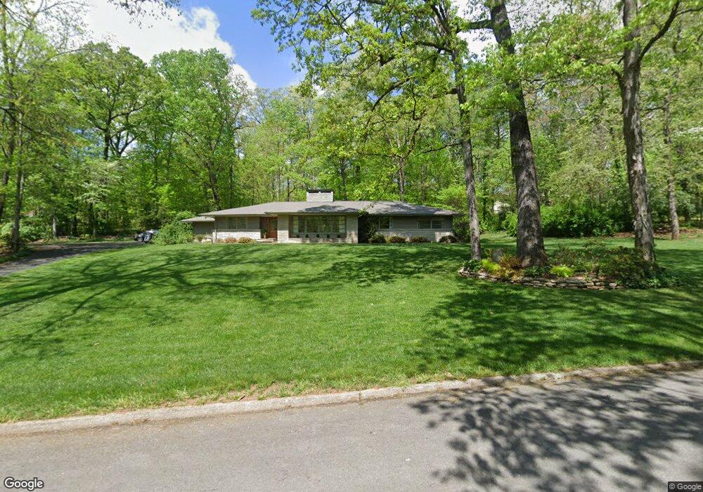
228 Circle Dr Athens, TN 37303
Estimated Value: $378,743 - $552,000
--
Bed
3
Baths
2,782
Sq Ft
$164/Sq Ft
Est. Value
About This Home
This home is located at 228 Circle Dr, Athens, TN 37303 and is currently estimated at $457,436, approximately $164 per square foot. 228 Circle Dr is a home located in McMinn County with nearby schools including City Park Elementary School, Ingleside Elementary School, and Westside Elementary School.
Ownership History
Date
Name
Owned For
Owner Type
Purchase Details
Closed on
Apr 25, 2025
Sold by
Buttram Susan B
Bought by
Wallace Deborah A
Current Estimated Value
Purchase Details
Closed on
Jul 12, 2013
Sold by
Howell Gail D
Bought by
Buttram R Hal and Buttram Susan B
Home Financials for this Owner
Home Financials are based on the most recent Mortgage that was taken out on this home.
Original Mortgage
$164,000
Interest Rate
4.43%
Mortgage Type
Commercial
Create a Home Valuation Report for This Property
The Home Valuation Report is an in-depth analysis detailing your home's value as well as a comparison with similar homes in the area
Home Values in the Area
Average Home Value in this Area
Purchase History
| Date | Buyer | Sale Price | Title Company |
|---|---|---|---|
| Wallace Deborah A | $410,000 | None Listed On Document | |
| Buttram R Hal | $210,000 | -- |
Source: Public Records
Mortgage History
| Date | Status | Borrower | Loan Amount |
|---|---|---|---|
| Previous Owner | Buttram R Hal | $164,000 |
Source: Public Records
Tax History Compared to Growth
Tax History
| Year | Tax Paid | Tax Assessment Tax Assessment Total Assessment is a certain percentage of the fair market value that is determined by local assessors to be the total taxable value of land and additions on the property. | Land | Improvement |
|---|---|---|---|---|
| 2024 | $2,026 | $96,925 | $10,750 | $86,175 |
| 2023 | $2,026 | $96,925 | $10,750 | $86,175 |
| 2022 | $1,485 | $51,300 | $10,750 | $40,550 |
| 2021 | $1,485 | $51,300 | $10,750 | $40,550 |
| 2020 | $1,444 | $51,300 | $10,750 | $40,550 |
| 2019 | $1,444 | $51,300 | $10,750 | $40,550 |
| 2018 | $1,444 | $51,300 | $10,750 | $40,550 |
| 2017 | $1,477 | $49,575 | $12,450 | $37,125 |
| 2016 | $1,477 | $49,575 | $12,450 | $37,125 |
| 2015 | -- | $49,750 | $12,425 | $37,325 |
| 2014 | $1,367 | $49,743 | $0 | $0 |
Source: Public Records
Map
Nearby Homes
- 114 Ashley Court Dr
- 269 Fyke Dr
- 1313 English Ln
- 501 Lynnwood Dr
- 514 Lynnwood Dr
- Lot 2 A Tennessee 39
- 504 Lynnwood Dr
- 211 Pike St
- 620 Tell St
- 922 Barnabas St
- 508 W College St
- 00 Tell St
- 00 Lynman St
- 613 Gideon St
- 707 Elizabeth St
- 814 Cedar Springs Rd
- 909 S Matlock Ave
- 1605 Brentwood Dr
- 1309 Summitt St
- 0 W College St Unit 20252139
- 310 Circle Dr
- 310 Circle Dr Unit PT14
- 117 S Matlock Ave
- 227 Circle Dr
- 126 S Matlock Ave
- 216 Circle Dr
- 122 S Matlock Ave
- 213 Circle Dr
- 217 Circle Dr
- 208 S Matlock Ave
- 0 Circle Dr
- 134 S Matlock Ave
- 138 S Matlock Ave
- 212 S Matlock Ave
- 142 S Matlock Ave
- 220 Lynnwood Dr
- 137 Dogwood Dr
- 129 Dogwood Dr
- 320 Lynnwood Dr
- 218 S Matlock Ave