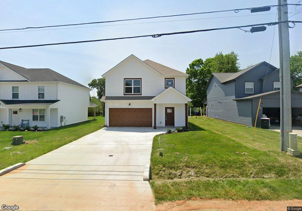
228 King Rd Clarksville, TN 37042
Estimated Value: $330,593 - $378,000
--
Bed
1
Bath
2,066
Sq Ft
$169/Sq Ft
Est. Value
About This Home
This home is located at 228 King Rd, Clarksville, TN 37042 and is currently estimated at $348,898, approximately $168 per square foot. 228 King Rd is a home located in Montgomery County with nearby schools including West Creek Elementary School, West Creek Middle School, and West Creek High School.
Ownership History
Date
Name
Owned For
Owner Type
Purchase Details
Closed on
Jul 22, 2022
Sold by
Hawkins Homes Llc
Bought by
Long Perez Antonio and Long April Candaysay
Current Estimated Value
Home Financials for this Owner
Home Financials are based on the most recent Mortgage that was taken out on this home.
Original Mortgage
$256,900
Outstanding Balance
$245,808
Interest Rate
5.78%
Mortgage Type
VA
Estimated Equity
$103,090
Purchase Details
Closed on
Feb 3, 2022
Sold by
Hawkins Homes Llc
Bought by
Corbett Andrew Steven and Corbett Jessica
Purchase Details
Closed on
Feb 1, 2022
Sold by
Hawkins Homes Llc
Bought by
Bertic Cortney Mae and Bertic Samuel Lawrence
Purchase Details
Closed on
Jan 22, 2020
Sold by
Belleglade Development Co Partnership
Bought by
Ch Rentals Gp
Create a Home Valuation Report for This Property
The Home Valuation Report is an in-depth analysis detailing your home's value as well as a comparison with similar homes in the area
Home Values in the Area
Average Home Value in this Area
Purchase History
| Date | Buyer | Sale Price | Title Company |
|---|---|---|---|
| Long Perez Antonio | $346,900 | Cunningham Mitchell & Rocconi | |
| Corbett Andrew Steven | -- | Rocconi Larry A | |
| Corbett Andrew Steven | -- | None Listed On Document | |
| Bertic Cortney Mae | -- | Rocconi Larry A | |
| Ch Rentals Gp | $1,550,000 | -- |
Source: Public Records
Mortgage History
| Date | Status | Borrower | Loan Amount |
|---|---|---|---|
| Open | Long Perez Antonio | $256,900 |
Source: Public Records
Tax History Compared to Growth
Tax History
| Year | Tax Paid | Tax Assessment Tax Assessment Total Assessment is a certain percentage of the fair market value that is determined by local assessors to be the total taxable value of land and additions on the property. | Land | Improvement |
|---|---|---|---|---|
| 2024 | $2,585 | $86,750 | $0 | $0 |
| 2023 | $2,585 | $39,650 | $0 | $0 |
| 2022 | $1,674 | $47,475 | $0 | $0 |
| 2021 | $90 | $2,150 | $0 | $0 |
| 2020 | $64 | $2,150 | $0 | $0 |
| 2019 | $86 | $2,150 | $0 | $0 |
| 2018 | $88 | $2,050 | $0 | $0 |
| 2017 | $25 | $2,050 | $0 | $0 |
| 2016 | $63 | $2,050 | $0 | $0 |
| 2015 | $86 | $2,050 | $0 | $0 |
| 2014 | $85 | $2,050 | $0 | $0 |
| 2013 | $87 | $2,000 | $0 | $0 |
Source: Public Records
Map
Nearby Homes
- 221 Burch Rd
- 231 King Rd
- 239 Burch Rd
- 210 Notgrass Rd
- 307 Burch Rd
- 2705 W Copeland Ct
- 2711 E Copeland Ct
- 404 Lisle Dr
- 2686 Scott Dr
- 00 Rolling Acres Us-460
- 306 Tiny Town Rd
- 2203 Green Acres Dr
- 106 Tandy Dr
- 0 Airport Rd
- 144 Airport Rd
- 94 Airport Rd
- 3426 Fox Meadow Way
- 2307 Pendleton Dr
- 3442 Fox Meadow Way
- 112 King Cole Dr