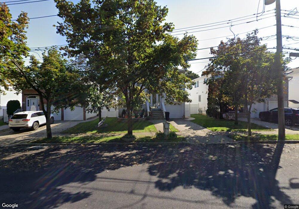
228 Mason Blvd Staten Island, NY 10309
Rossville NeighborhoodEstimated Value: $984,185 - $1,341,000
--
Bed
4
Baths
2,500
Sq Ft
$455/Sq Ft
Est. Value
About This Home
This home is located at 228 Mason Blvd, Staten Island, NY 10309 and is currently estimated at $1,138,046, approximately $455 per square foot. 228 Mason Blvd is a home located in Richmond County with nearby schools including P.S. 56 - The Louis Desario School, Is 34 Tottenville, and Tottenville High School.
Ownership History
Date
Name
Owned For
Owner Type
Purchase Details
Closed on
Feb 18, 2025
Sold by
Gregorio Sam T and Gregorio Diane V
Bought by
Gregorio Family Revocable Trust and Gregorio
Current Estimated Value
Purchase Details
Closed on
Oct 22, 1998
Sold by
Sharrotts Development Corp
Bought by
Gregorio Sam T and Gregorio Diane V
Home Financials for this Owner
Home Financials are based on the most recent Mortgage that was taken out on this home.
Original Mortgage
$242,800
Interest Rate
6.68%
Create a Home Valuation Report for This Property
The Home Valuation Report is an in-depth analysis detailing your home's value as well as a comparison with similar homes in the area
Home Values in the Area
Average Home Value in this Area
Purchase History
| Date | Buyer | Sale Price | Title Company |
|---|---|---|---|
| Gregorio Family Revocable Trust | -- | None Listed On Document | |
| Gregorio Sam T | $348,000 | Commonwealth Land Title Ins |
Source: Public Records
Mortgage History
| Date | Status | Borrower | Loan Amount |
|---|---|---|---|
| Previous Owner | Gregorio Sam T | $242,800 |
Source: Public Records
Tax History Compared to Growth
Tax History
| Year | Tax Paid | Tax Assessment Tax Assessment Total Assessment is a certain percentage of the fair market value that is determined by local assessors to be the total taxable value of land and additions on the property. | Land | Improvement |
|---|---|---|---|---|
| 2025 | $9,633 | $66,120 | $7,739 | $58,381 |
| 2024 | $9,645 | $55,620 | $8,680 | $46,940 |
| 2023 | $9,174 | $46,570 | $8,050 | $38,520 |
| 2022 | $8,941 | $57,060 | $9,780 | $47,280 |
| 2021 | $9,424 | $49,920 | $9,780 | $40,140 |
| 2020 | $8,933 | $47,460 | $9,780 | $37,680 |
| 2019 | $8,312 | $44,280 | $9,780 | $34,500 |
| 2018 | $7,613 | $38,808 | $7,858 | $30,950 |
| 2017 | $7,553 | $38,520 | $9,113 | $29,407 |
| 2016 | $7,390 | $38,516 | $9,315 | $29,201 |
| 2015 | $6,274 | $36,336 | $6,633 | $29,703 |
| 2014 | $6,274 | $34,280 | $7,507 | $26,773 |
Source: Public Records
Map
Nearby Homes
- 192 Mason Blvd
- 91 Bombay St
- 87 Bombay St
- 83 Bombay St
- 79 Bombay St
- 728 Maguire Ave
- 75 Bombay St
- 732 Maguire Ave
- 71 Bombay St
- 736 Maguire Ave
- 740 Maguire Ave
- 735 Maguire Ave
- 739 Maguire Ave
- 298 Kramer Ave
- 234 Gervil St
- 230 Gervil St
- 28 Brookside Loop
- 137 Shiel Ave
- 47 Hemlock St
- 591 Correll Ave Unit 146
- 224 Mason Blvd
- 232 Mason Blvd
- 220 Mason Blvd
- 236 Mason Blvd
- 231 McBaine Ave
- 235 McBaine Ave
- 227 McBaine Ave
- 239 McBaine Ave
- 240 Mason Blvd
- 216 Mason Blvd
- 223 McBaine Ave
- 243 McBaine Ave
- 244 Mason Blvd
- 214 Mason Blvd
- 227 Mason Blvd
- 219 McBaine Ave
- 247 McBaine Ave
- 217 Mason Blvd
- 237 Mason Blvd
- 215 McBaine Ave