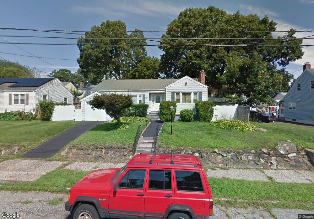
228 Merritt St Bridgeport, CT 06606
North End NeighborhoodEstimated Value: $376,000 - $489,000
2
Beds
1
Bath
1,262
Sq Ft
$330/Sq Ft
Est. Value
About This Home
This home is located at 228 Merritt St, Bridgeport, CT 06606 and is currently estimated at $416,556, approximately $330 per square foot. 228 Merritt St is a home located in Fairfield County with nearby schools including Blackham School, Central High School, and St Andrew School.
Ownership History
Date
Name
Owned For
Owner Type
Purchase Details
Closed on
Nov 30, 2000
Sold by
Hernandez Marco and Hernandez Mayela
Bought by
Gonzalez Lorenzo A
Current Estimated Value
Home Financials for this Owner
Home Financials are based on the most recent Mortgage that was taken out on this home.
Original Mortgage
$127,000
Outstanding Balance
$47,003
Interest Rate
7.76%
Estimated Equity
$369,553
Create a Home Valuation Report for This Property
The Home Valuation Report is an in-depth analysis detailing your home's value as well as a comparison with similar homes in the area
Home Values in the Area
Average Home Value in this Area
Purchase History
| Date | Buyer | Sale Price | Title Company |
|---|---|---|---|
| Gonzalez Lorenzo A | $135,000 | -- | |
| Gonzalez Lorenzo A | $135,000 | -- |
Source: Public Records
Mortgage History
| Date | Status | Borrower | Loan Amount |
|---|---|---|---|
| Closed | Gonzalez Lorenzo A | $25,000 | |
| Open | Gonzalez Lorenzo A | $127,000 | |
| Closed | Gonzalez Lorenzo A | $127,000 | |
| Previous Owner | Gonzalez Lorenzo A | $75,000 |
Source: Public Records
Tax History Compared to Growth
Tax History
| Year | Tax Paid | Tax Assessment Tax Assessment Total Assessment is a certain percentage of the fair market value that is determined by local assessors to be the total taxable value of land and additions on the property. | Land | Improvement |
|---|---|---|---|---|
| 2025 | $6,318 | $145,420 | $77,430 | $67,990 |
| 2024 | $6,318 | $145,420 | $77,430 | $67,990 |
| 2023 | $6,318 | $145,420 | $77,430 | $67,990 |
| 2022 | $6,318 | $145,420 | $77,430 | $67,990 |
| 2021 | $6,318 | $145,420 | $77,430 | $67,990 |
| 2020 | $5,567 | $103,120 | $44,490 | $58,630 |
| 2019 | $5,567 | $103,120 | $44,490 | $58,630 |
| 2018 | $5,607 | $103,120 | $44,490 | $58,630 |
| 2017 | $5,607 | $103,120 | $44,490 | $58,630 |
| 2016 | $5,607 | $103,120 | $44,490 | $58,630 |
| 2015 | $5,908 | $140,010 | $51,400 | $88,610 |
| 2014 | $5,908 | $140,010 | $51,400 | $88,610 |
Source: Public Records
Map
Nearby Homes
- 184 Merritt St
- 214 Burnsford Ave
- 260 Birmingham St
- 1095 Wayne St
- 113 Clark St
- 339 Goldenrod Ave
- 375 Ruth St
- 3401 Main St
- 354 Beechmont Ave
- 245 Glendale Ave Unit D8
- 604 Birmingham St
- 215 Overland Ave
- 38 Enid St Unit B
- 495 Peet St
- 200 Woodmont Ave Unit 100
- 605 Merritt St
- 234 Savoy St
- 25 Broadway
- 376 Savoy St
- 333 Vincellette St Unit 109
- 214 Merritt St
- 242 Merritt St
- 219 Queen St
- 235 Queen St
- 205 Queen St
- 256 Merritt St
- 200 Merritt St
- 225 Merritt St
- 239 Merritt St
- 251 Queen St
- 193 Queen St
- 205 Merritt St
- 234 Queen St
- 255 Merritt St Unit 257
- 263 Queen St
- 270 Merritt St Unit 272
- 175 Queen St
- 224 Burnsford Ave
- 234 Burnsford Ave
- 269 Merritt St