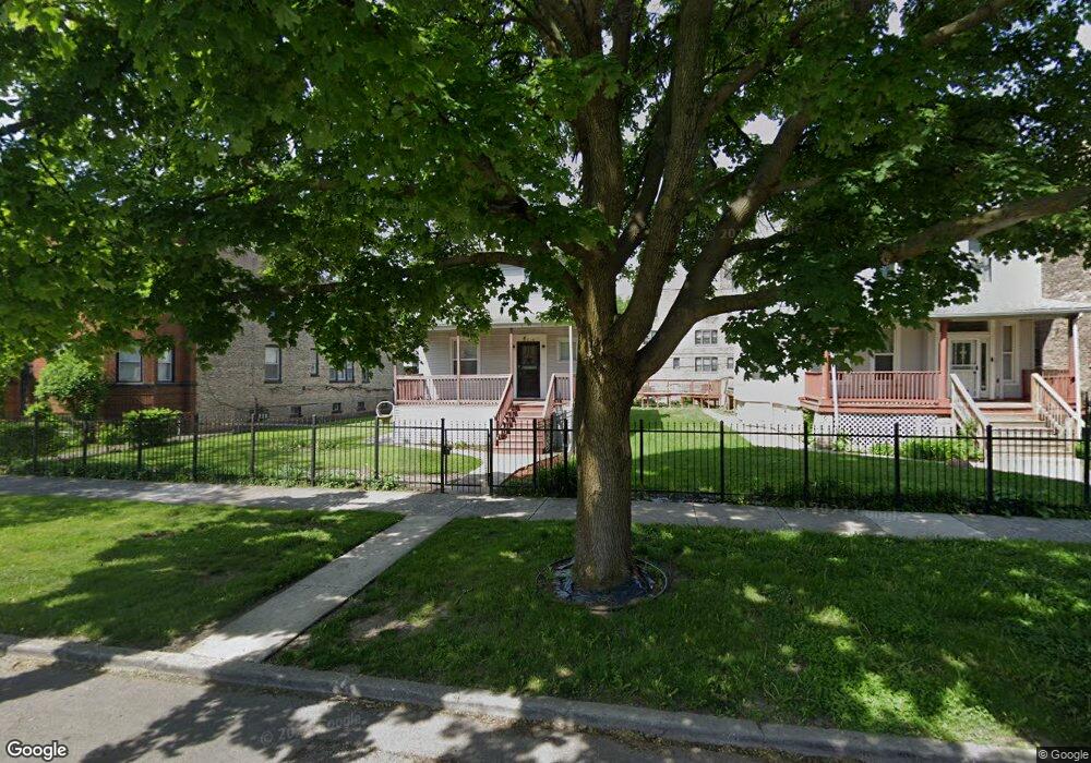
228 N Mayfield Ave Chicago, IL 60644
Austin NeighborhoodEstimated Value: $220,000 - $417,000
4
Beds
2
Baths
2,116
Sq Ft
$148/Sq Ft
Est. Value
About This Home
This home is located at 228 N Mayfield Ave, Chicago, IL 60644 and is currently estimated at $313,255, approximately $148 per square foot. 228 N Mayfield Ave is a home located in Cook County with nearby schools including Ellington Elementary School, Catalyst Charter-Circle Rock Elementary School, and St. Catherine - St. Lucy School.
Ownership History
Date
Name
Owned For
Owner Type
Purchase Details
Closed on
Jan 13, 1998
Sold by
Newell Booker
Bought by
Newell Booker T and Newell Estella
Current Estimated Value
Home Financials for this Owner
Home Financials are based on the most recent Mortgage that was taken out on this home.
Original Mortgage
$69,750
Interest Rate
8.25%
Create a Home Valuation Report for This Property
The Home Valuation Report is an in-depth analysis detailing your home's value as well as a comparison with similar homes in the area
Home Values in the Area
Average Home Value in this Area
Purchase History
| Date | Buyer | Sale Price | Title Company |
|---|---|---|---|
| Newell Booker T | -- | Chicago Title Insurance Co |
Source: Public Records
Mortgage History
| Date | Status | Borrower | Loan Amount |
|---|---|---|---|
| Closed | Newell Booker T | $69,750 |
Source: Public Records
Tax History Compared to Growth
Tax History
| Year | Tax Paid | Tax Assessment Tax Assessment Total Assessment is a certain percentage of the fair market value that is determined by local assessors to be the total taxable value of land and additions on the property. | Land | Improvement |
|---|---|---|---|---|
| 2024 | $2,887 | $21,000 | $8,880 | $12,120 |
| 2023 | $2,793 | $17,000 | $7,030 | $9,970 |
| 2022 | $2,793 | $17,000 | $7,030 | $9,970 |
| 2021 | $2,749 | $17,000 | $7,030 | $9,970 |
| 2020 | $3,815 | $20,226 | $6,290 | $13,936 |
| 2019 | $3,826 | $22,474 | $6,290 | $16,184 |
| 2018 | $3,761 | $22,474 | $6,290 | $16,184 |
| 2017 | $2,638 | $15,631 | $5,550 | $10,081 |
| 2016 | $2,631 | $15,631 | $5,550 | $10,081 |
| 2015 | $2,384 | $15,631 | $5,550 | $10,081 |
| 2014 | $2,604 | $16,604 | $5,180 | $11,424 |
| 2013 | $2,542 | $16,604 | $5,180 | $11,424 |
Source: Public Records
Map
Nearby Homes
- 216 N Mayfield Ave
- 5815 W Fulton St
- 207 N Austin Blvd
- 129 N Mason Ave Unit 105
- 227-229 N Menard Ave
- 316 N Austin Blvd
- 128 N Menard Ave
- 35 N Mayfield Ave
- 136 S Taylor Ave
- 43 N Menard Ave
- 12 N Mayfield Ave Unit 3
- 5902 W Madison St Unit 3
- 126 N Taylor Ave Unit 1S
- 5829 W Ohio St
- 514 S Humphrey Ave
- 22 S Austin Blvd
- 143 N Taylor Ave
- 5731 W Ohio St
- 426 S Lombard Ave Unit 205
- 19 S Waller Ave
- 234 N Mayfield Ave
- 224 N Mayfield Ave
- 224 N Mayfield Ave
- 238 N Mayfield Ave
- 242 N Mayfield Ave
- 5911 W Fulton St Unit 13
- 225 N Mason Ave
- 229 N Mason Ave Unit 1
- 229 N Mason Ave Unit 2ND
- 229 N Mason Ave Unit 3N
- 229 N Mason Ave Unit 2S
- 227 N Mason Ave
- 227 N Mason Ave
- 227 N Mason Ave Unit 3S
- 227 N Mason Ave Unit GL-S
- 208 N Mayfield Ave
- 219 N Mason Ave
- 235 N Mason Ave
- 235 N Mason Ave Unit 2S
- 235 N Mason Ave Unit 1R