228 Oatland Island Rd Savannah, GA 31410
Whitemarsh Island NeighborhoodEstimated Value: $1,167,000 - $1,775,000
5
Beds
4
Baths
3,672
Sq Ft
$425/Sq Ft
Est. Value
About This Home
This home is located at 228 Oatland Island Rd, Savannah, GA 31410 and is currently estimated at $1,560,477, approximately $424 per square foot. 228 Oatland Island Rd is a home located in Chatham County with nearby schools including Marshpoint Elementary School, Coastal Middle School, and Islands High School.
Ownership History
Date
Name
Owned For
Owner Type
Purchase Details
Closed on
May 26, 2023
Sold by
Thompson Allison Harris
Bought by
Thompson Timothy Gray
Current Estimated Value
Purchase Details
Closed on
Mar 8, 2022
Sold by
Carbo Michael
Bought by
Thompson Allison and Thompson Timothy Gray
Purchase Details
Closed on
May 17, 2010
Sold by
Carliff Llc
Bought by
Carbo Michael
Purchase Details
Closed on
Aug 17, 2005
Sold by
Not Provided
Bought by
Carbo Michael
Home Financials for this Owner
Home Financials are based on the most recent Mortgage that was taken out on this home.
Original Mortgage
$500,000
Interest Rate
5.64%
Mortgage Type
New Conventional
Create a Home Valuation Report for This Property
The Home Valuation Report is an in-depth analysis detailing your home's value as well as a comparison with similar homes in the area
Home Values in the Area
Average Home Value in this Area
Purchase History
| Date | Buyer | Sale Price | Title Company |
|---|---|---|---|
| Thompson Timothy Gray | -- | -- | |
| Thompson Allison | $1,680,000 | -- | |
| Carbo Michael | -- | -- | |
| Carbo Michael | $725,000 | -- |
Source: Public Records
Mortgage History
| Date | Status | Borrower | Loan Amount |
|---|---|---|---|
| Previous Owner | Carbo Michael | $500,000 |
Source: Public Records
Tax History Compared to Growth
Tax History
| Year | Tax Paid | Tax Assessment Tax Assessment Total Assessment is a certain percentage of the fair market value that is determined by local assessors to be the total taxable value of land and additions on the property. | Land | Improvement |
|---|---|---|---|---|
| 2025 | $16,509 | $563,160 | $255,440 | $307,720 |
| 2024 | $16,509 | $559,640 | $255,440 | $304,200 |
| 2023 | $15,394 | $571,720 | $255,440 | $316,280 |
| 2022 | $11,249 | $478,960 | $255,440 | $223,520 |
| 2021 | $16,959 | $444,040 | $255,440 | $188,600 |
| 2020 | $11,308 | $444,040 | $255,440 | $188,600 |
| 2019 | $16,998 | $444,040 | $255,440 | $188,600 |
| 2018 | $16,486 | $437,080 | $255,440 | $181,640 |
| 2017 | $9,977 | $436,400 | $255,440 | $180,960 |
| 2016 | $10,019 | $434,160 | $255,440 | $178,720 |
Source: Public Records
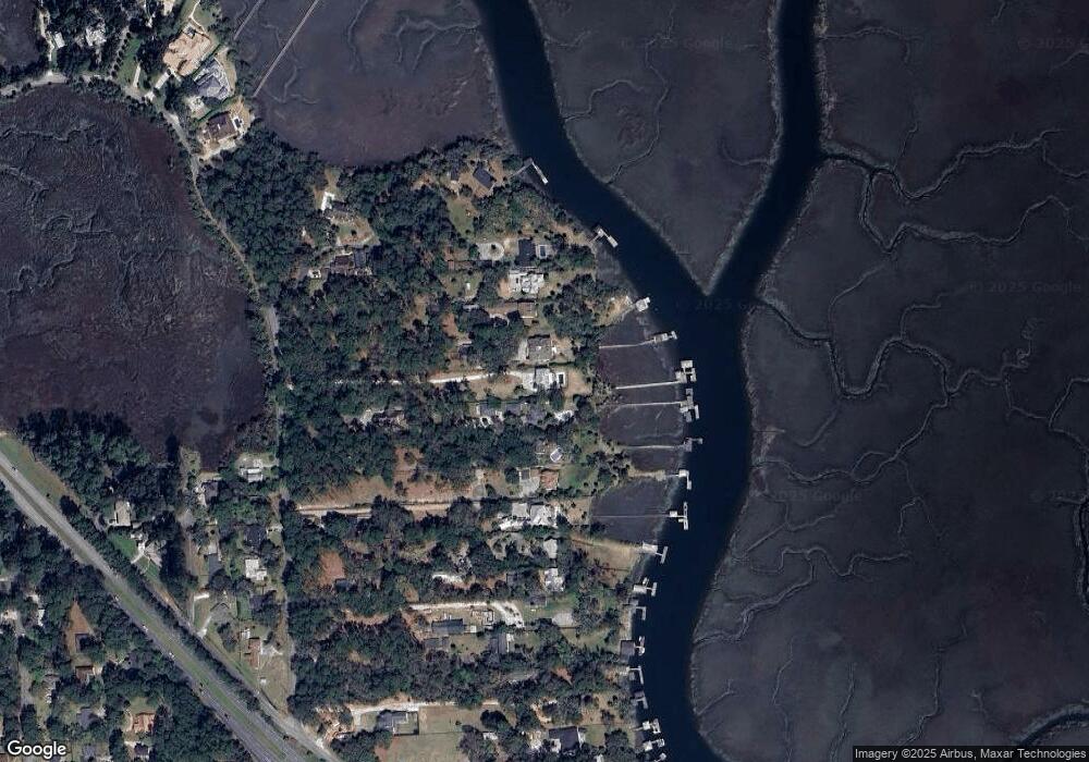
Map
Nearby Homes
- 1024 Cheryl St
- 911 Juanita St
- 906 Tara St
- 29 Penrose Dr
- 207 Barley Dr
- 33 Penrose Dr
- 1110 Juanita St
- 000 Perry Cove
- 000000 Perry Cove
- 310 Mapmaker Ln
- 156 Ropemaker Ln
- 129 Ropemaker Ln
- 115 Binnacle Ct
- 505 Sandhill Rd
- 303 Mapmaker Ln
- 115 Turnbuckle Ct
- 3 Fort Bartow Dr
- 128 Mapmaker Ln
- 105 Crossover Ln
- 121 Summer Winds Dr
- 224 Oatland Island Rd
- 240 Oatland Island Rd
- 222 Oatland Island Rd
- 216 Oatland Island Rd
- 212 Oatland Island Rd
- 208 Oatland Island Rd
- 252 Oatland Island Rd
- 234A Oatland Island Rd
- 234 Oatland Island Rd
- 234 Oatland Island Rd
- 260 Oatland Island Rd
- 206 Oatland Island Rd
- 268 Oatland Island Rd
- 202 Oatland Island Rd
- 272 Oatland Island Rd
- 204 Oatland Island Rd
- 256 Oatland Island Rd
- 196 Oatland Island Rd
- 278 Oatland Island Rd
- 274 Oatland Island Rd