228 Pheasant Ridge Unit Lot 212 Polson, MT 59860
Estimated Value: $156,183 - $373,000
4
Beds
4
Baths
1,901
Sq Ft
$125/Sq Ft
Est. Value
About This Home
This home is located at 228 Pheasant Ridge Unit Lot 212, Polson, MT 59860 and is currently estimated at $236,728, approximately $124 per square foot. 228 Pheasant Ridge Unit Lot 212 is a home located in Lake County with nearby schools including Cherry Valley School, Linderman Elementary School, and Polson Middle School (7-8).
Ownership History
Date
Name
Owned For
Owner Type
Purchase Details
Closed on
Jan 19, 2021
Sold by
Cygneture Llc
Bought by
Gunlock Daren and Gunlock Debbie
Current Estimated Value
Purchase Details
Closed on
Jun 27, 2019
Sold by
Lanktree Jason Brian and Lanktree Becky J
Bought by
Cygneture Llc
Purchase Details
Closed on
Nov 22, 2016
Sold by
Lookback Llc
Bought by
Lanktree Jason Brian and Lanktree Becky J
Home Financials for this Owner
Home Financials are based on the most recent Mortgage that was taken out on this home.
Original Mortgage
$48,000
Interest Rate
6%
Mortgage Type
Adjustable Rate Mortgage/ARM
Create a Home Valuation Report for This Property
The Home Valuation Report is an in-depth analysis detailing your home's value as well as a comparison with similar homes in the area
Home Values in the Area
Average Home Value in this Area
Purchase History
| Date | Buyer | Sale Price | Title Company |
|---|---|---|---|
| Gunlock Daren | -- | None Available | |
| Cygneture Llc | -- | None Available | |
| Lanktree Jason Brian | -- | Ft |
Source: Public Records
Mortgage History
| Date | Status | Borrower | Loan Amount |
|---|---|---|---|
| Previous Owner | Lanktree Jason Brian | $48,000 |
Source: Public Records
Tax History Compared to Growth
Tax History
| Year | Tax Paid | Tax Assessment Tax Assessment Total Assessment is a certain percentage of the fair market value that is determined by local assessors to be the total taxable value of land and additions on the property. | Land | Improvement |
|---|---|---|---|---|
| 2025 | $5,600 | $973,800 | $0 | $0 |
| 2024 | $6,024 | $102,712 | $0 | $0 |
| 2023 | $929 | $102,712 | $0 | $0 |
| 2022 | $848 | $98,851 | $0 | $0 |
| 2021 | $941 | $98,851 | $0 | $0 |
| 2020 | $628 | $65,879 | $0 | $0 |
| 2019 | $637 | $65,879 | $0 | $0 |
| 2018 | $605 | $63,286 | $0 | $0 |
| 2017 | $591 | $63,286 | $0 | $0 |
| 2016 | $982 | $104,859 | $0 | $0 |
| 2015 | $944 | $140,921 | $0 | $0 |
| 2014 | $1,611 | $111,764 | $0 | $0 |
Source: Public Records
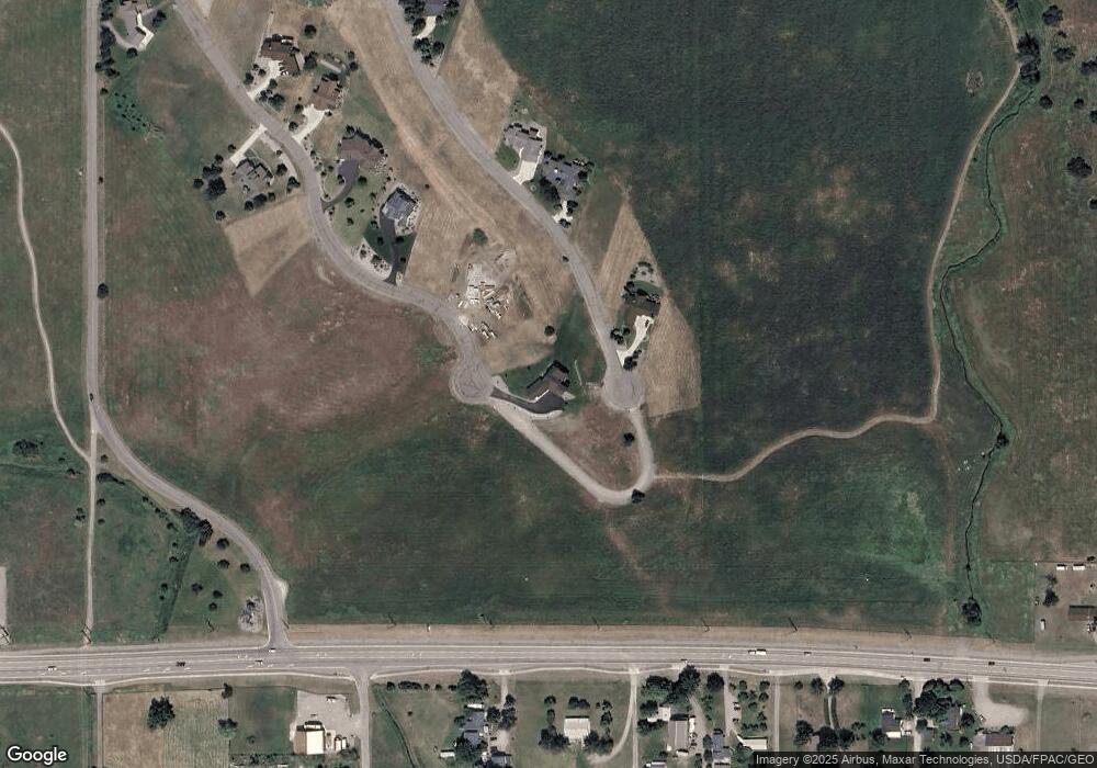
Map
Nearby Homes
- 227 Pheasant Ridge
- 213 Pheasant Ridge
- 116 Red Tail Rd
- 212 Pheasant Ridge Ln
- 372 Hawk Dr
- 102 Marias St
- 100 Reliance Landing
- 525 Hawk Dr
- 36184 Caroline Ln
- Lot #7 View Areas Dr
- Nhn Tundra Swan Way
- 189 Pheasant Ridge
- LOT 34 Tundra Swan Way
- 294 Montana Landing
- nhn Hawk Dr
- 120 Heritage Ln
- 107 Kari Ln
- 140 Kari Ln
- 205 Shawnee Ln
- 207 Shawnee Ln
- 228 Pheasant Ridge (Lot 212)
- 228 Pheasant Ridge Ln Unit Lot 212
- 228 Pheasant Ridge Ln
- 228 Pheasant Ridge
- 236 Red Tail Rd Unit (Lot 118)
- 236 Red Tail Rd
- 238 Redtail Rd
- 224 Pheasant Ridge
- 224 Pheasant Ridge Unit (Lot 210)
- 301 Pheasant Ridge Ln
- 234 Red Tail Rd Unit (Lot 117)
- 227 Pheasant Ridge Ln
- 227 Pheasant Ridge Unit (Lot 309)
- LOT 208 Pheasant Ridge
- 223 Pheasant Ridge Unit (Lot 307-308)
- 223 Pheasant Ridge
- 232 Red Tail Rd Unit (Lot 116)
- 232 Red Tail Rd
- 222 Pheasant Ridge
- 230 Red Tail Rd