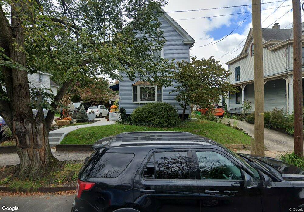
228 S Atlantic Ave Haddonfield, NJ 08033
Estimated Value: $371,000 - $765,000
3
Beds
1
Bath
1,572
Sq Ft
$361/Sq Ft
Est. Value
About This Home
This home is located at 228 S Atlantic Ave, Haddonfield, NJ 08033 and is currently estimated at $568,001, approximately $361 per square foot. 228 S Atlantic Ave is a home located in Camden County with nearby schools including Haddonfield Memorial High School, Haddonfield Friends School, and Christ the King Regional School.
Ownership History
Date
Name
Owned For
Owner Type
Purchase Details
Closed on
Sep 19, 2008
Sold by
Eggleston Lorraine
Bought by
Makely David and Makely Kristin
Current Estimated Value
Home Financials for this Owner
Home Financials are based on the most recent Mortgage that was taken out on this home.
Original Mortgage
$223,236
Outstanding Balance
$147,699
Interest Rate
6.41%
Mortgage Type
FHA
Estimated Equity
$420,302
Create a Home Valuation Report for This Property
The Home Valuation Report is an in-depth analysis detailing your home's value as well as a comparison with similar homes in the area
Home Values in the Area
Average Home Value in this Area
Purchase History
| Date | Buyer | Sale Price | Title Company |
|---|---|---|---|
| Makely David | $225,000 | -- |
Source: Public Records
Mortgage History
| Date | Status | Borrower | Loan Amount |
|---|---|---|---|
| Open | Makely David | $223,236 |
Source: Public Records
Tax History Compared to Growth
Tax History
| Year | Tax Paid | Tax Assessment Tax Assessment Total Assessment is a certain percentage of the fair market value that is determined by local assessors to be the total taxable value of land and additions on the property. | Land | Improvement |
|---|---|---|---|---|
| 2025 | $9,137 | $282,800 | $187,600 | $95,200 |
| 2024 | $9,016 | $282,800 | $187,600 | $95,200 |
| 2023 | $9,016 | $282,800 | $187,600 | $95,200 |
| 2022 | $8,945 | $282,800 | $187,600 | $95,200 |
| 2021 | $8,853 | $281,300 | $187,600 | $93,700 |
| 2020 | $8,791 | $281,300 | $187,600 | $93,700 |
| 2019 | $87 | $281,300 | $187,600 | $93,700 |
| 2018 | $8,616 | $281,300 | $187,600 | $93,700 |
| 2017 | $8,411 | $281,300 | $187,600 | $93,700 |
| 2016 | $8,222 | $281,300 | $187,600 | $93,700 |
| 2015 | $7,995 | $281,300 | $187,600 | $93,700 |
| 2014 | $7,817 | $281,300 | $187,600 | $93,700 |
Source: Public Records
Map
Nearby Homes
- 125 W Summit Ave
- 130 Centre St
- 320 Warwick Rd
- 107 Centre St
- 120 Kings Hwy W
- 225 Spruce St
- 311 Lincoln Ave
- 33 Estaugh Ave
- 412 E Summit Ave
- 35 Colonial Ridge Dr
- 111 Ellis St
- 166 Ellis St
- 341 Station Ave
- 351 Bellevue Ave
- 63 Truman Ave
- 204 Tavistock
- 301 Tavistock
- 290 Tavistock
- 301 Bradshaw Ave
- 634 W Redman Ave
- 224 S Atlantic Ave
- 232 S Atlantic Ave
- 15 W Cottage Ave
- 220 S Atlantic Ave
- 17 W Cottage Ave
- 1 W Cottage Ave
- 216 S Atlantic Ave
- 214 S Atlantic Ave
- 212 S Atlantic Ave
- 210 S Atlantic Ave
- 221 Washington Ave
- 225 Washington Ave
- 217 Washington Ave
- 208 S Atlantic Ave
- 235 Washington Ave
- 229 S Atlantic Ave
- 225 S Atlantic Ave
- 6 W Cottage Ave
- 231 S Atlantic Ave
- 206 S Atlantic Ave