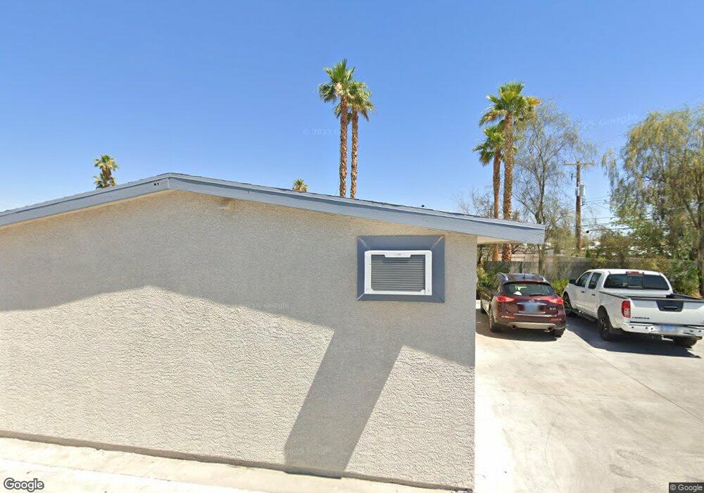
228 S Jones Blvd Las Vegas, NV 89107
Buffalo NeighborhoodEstimated Value: $334,465
3
Beds
2
Baths
1,692
Sq Ft
$198/Sq Ft
Est. Value
About This Home
This home is located at 228 S Jones Blvd, Las Vegas, NV 89107 and is currently estimated at $334,465, approximately $197 per square foot. 228 S Jones Blvd is a home located in Clark County with nearby schools including Red Rock Elementary School, Frank F Garside Junior High School, and Western High School.
Ownership History
Date
Name
Owned For
Owner Type
Purchase Details
Closed on
Jun 2, 2005
Sold by
Gill George
Bought by
Esposas Locas Llc
Current Estimated Value
Home Financials for this Owner
Home Financials are based on the most recent Mortgage that was taken out on this home.
Original Mortgage
$325,000
Outstanding Balance
$174,124
Interest Rate
6.17%
Mortgage Type
Credit Line Revolving
Estimated Equity
$160,341
Create a Home Valuation Report for This Property
The Home Valuation Report is an in-depth analysis detailing your home's value as well as a comparison with similar homes in the area
Home Values in the Area
Average Home Value in this Area
Purchase History
| Date | Buyer | Sale Price | Title Company |
|---|---|---|---|
| Esposas Locas Llc | $215,000 | Ticor Title Of Nevada Inc |
Source: Public Records
Mortgage History
| Date | Status | Borrower | Loan Amount |
|---|---|---|---|
| Open | Esposas Locas Llc | $325,000 |
Source: Public Records
Tax History Compared to Growth
Tax History
| Year | Tax Paid | Tax Assessment Tax Assessment Total Assessment is a certain percentage of the fair market value that is determined by local assessors to be the total taxable value of land and additions on the property. | Land | Improvement |
|---|---|---|---|---|
| 2025 | $1,440 | $63,868 | $32,928 | $30,940 |
| 2024 | $1,334 | $63,868 | $32,928 | $30,940 |
| 2023 | $1,334 | $55,375 | $27,440 | $27,935 |
| 2022 | $1,235 | $49,942 | $24,696 | $25,246 |
| 2021 | $1,144 | $48,207 | $24,696 | $23,511 |
| 2020 | $1,059 | $47,732 | $24,696 | $23,036 |
| 2019 | $993 | $44,141 | $21,952 | $22,189 |
| 2018 | $947 | $40,566 | $19,208 | $21,358 |
| 2017 | $1,247 | $38,035 | $16,464 | $21,571 |
| 2016 | $603 | $23,797 | $11,550 | $12,247 |
| 2015 | $601 | $20,629 | $8,750 | $11,879 |
| 2014 | $582 | $17,230 | $5,600 | $11,630 |
Source: Public Records
Map
Nearby Homes
- 309 Wisteria Ave
- 332 S Mallard St
- 329 Wisteria Ave
- 6233 Elton Ave
- 6164 Cromwell Ave
- 208 Colleen Dr
- 6305 Fairwood Ave
- 6224 Arlington Ave
- 340 Zion Dr
- 6225 Arlington Ave
- 6100 Alamo Cir
- 417 Wisteria Ave
- 208 Orland St Unit 10
- 208 Orland St Unit 9
- 257 Colleen Dr
- 212 Orland St Unit 23
- 212 Orland St Unit 28
- 212 Orland St Unit 22
- 212 Orland St Unit 19
- 212 Orland St Unit 17
- 224 S Jones Blvd
- 229 S Mallard St
- 225 S Mallard St
- 308 S Jones Blvd
- 220 S Jones Blvd
- 301 S Mallard St
- 221 S Mallard St
- 305 S Mallard St
- 6101 Edgewood Cir
- 216 S Jones Blvd
- 6100 Dayton Cir
- 217 S Mallard St
- 309 S Mallard St
- 6105 Edgewood Cir
- 6100 Edgewood Cir
- 213 S Mallard St
- 6104 Dayton Cir
- 228 S Mallard St
- 300 S Mallard St
- 313 S Mallard St