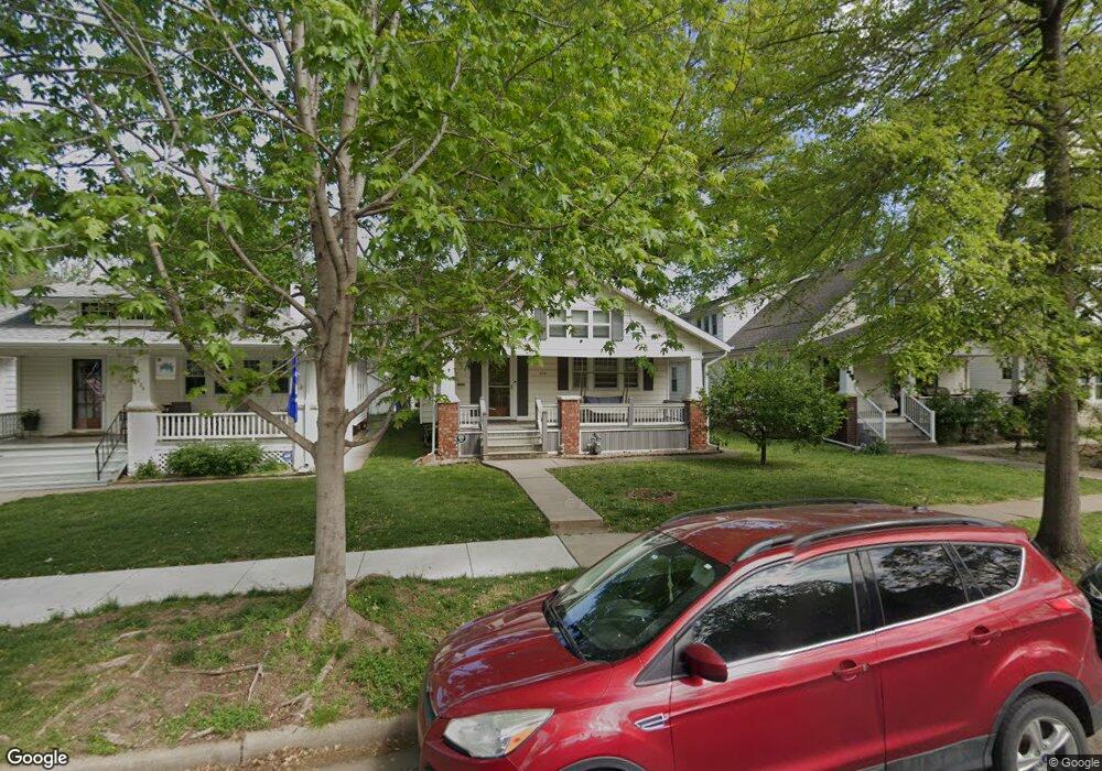
228 SW Broadmoor Ave Topeka, KS 66606
Kenwood NeighborhoodEstimated Value: $144,000 - $163,000
3
Beds
1
Bath
1,284
Sq Ft
$120/Sq Ft
Est. Value
About This Home
This home is located at 228 SW Broadmoor Ave, Topeka, KS 66606 and is currently estimated at $153,451, approximately $119 per square foot. 228 SW Broadmoor Ave is a home located in Shawnee County with nearby schools including Rosenwald Elementary School, Martin Park Elementary School, and Meadows Elementary School.
Ownership History
Date
Name
Owned For
Owner Type
Purchase Details
Closed on
Mar 19, 2021
Sold by
Gates Craig S
Bought by
Gates Craig S and Gates Madelin L
Current Estimated Value
Purchase Details
Closed on
Aug 29, 2011
Sold by
Brown Ezra I and Brown Rebecca S
Bought by
Gates Craig S
Home Financials for this Owner
Home Financials are based on the most recent Mortgage that was taken out on this home.
Original Mortgage
$92,103
Outstanding Balance
$63,909
Interest Rate
4.54%
Mortgage Type
FHA
Estimated Equity
$89,542
Create a Home Valuation Report for This Property
The Home Valuation Report is an in-depth analysis detailing your home's value as well as a comparison with similar homes in the area
Home Values in the Area
Average Home Value in this Area
Purchase History
| Date | Buyer | Sale Price | Title Company |
|---|---|---|---|
| Gates Craig S | -- | None Available | |
| Gates Craig S | -- | Lawyers Title Of Topeka Inc |
Source: Public Records
Mortgage History
| Date | Status | Borrower | Loan Amount |
|---|---|---|---|
| Open | Gates Craig S | $92,103 |
Source: Public Records
Tax History Compared to Growth
Tax History
| Year | Tax Paid | Tax Assessment Tax Assessment Total Assessment is a certain percentage of the fair market value that is determined by local assessors to be the total taxable value of land and additions on the property. | Land | Improvement |
|---|---|---|---|---|
| 2025 | $2,274 | $16,921 | -- | -- |
| 2023 | $2,274 | $15,353 | $0 | $0 |
| 2022 | $1,972 | $13,350 | $0 | $0 |
| 2021 | $1,812 | $11,609 | $0 | $0 |
| 2020 | $1,704 | $11,056 | $0 | $0 |
| 2019 | $1,680 | $10,839 | $0 | $0 |
| 2018 | $1,632 | $10,523 | $0 | $0 |
| 2017 | $1,635 | $10,523 | $0 | $0 |
| 2014 | $1,652 | $10,523 | $0 | $0 |
Source: Public Records
Map
Nearby Homes
- 433 SW Lincoln St
- 326 SW Quinton Ave
- 312 SW Elmwood Ave
- 511 SW Buchanan St
- 0000 SW Elmwood Ave Unit Lots 5,6 Laurel Park
- 131 SW Clay St
- 306 SW Clay St
- 1306 NW Grove Ave
- 136 NW Quinton Ave
- 223 SW Fillmore St
- 1830 SW Willow Ave
- 216 SW Fillmore St
- 634 SW Lincoln St
- 711 SW Buchanan St
- 435 SW Western Ave
- 731 SW Lincoln St
- 425 SW Taylor St
- 509 SW Taylor St
- 734 SW Lindenwood Ave
- 700 SW Roosevelt St
- 224 SW Broadmoor Ave
- 230 SW Broadmoor Ave
- 220 SW Broadmoor Ave
- 232 SW Broadmoor Ave
- 218 SW Broadmoor Ave
- 1420 SW 3rd St
- 214 SW Broadmoor Ave
- 229 SW Courtland Ave
- 231 SW Courtland Ave
- 223 SW Courtland Ave
- 219 SW Courtland Ave
- 1400 SW 3rd St
- 227 SW Broadmoor Ave
- 210 SW Broadmoor Ave
- 231 SW Broadmoor Ave
- 225 SW Broadmoor Ave
- 233 SW Broadmoor Ave
- 219 SW Broadmoor Ave
- 235 SW Broadmoor Ave
- 300 SW Broadmoor Ave