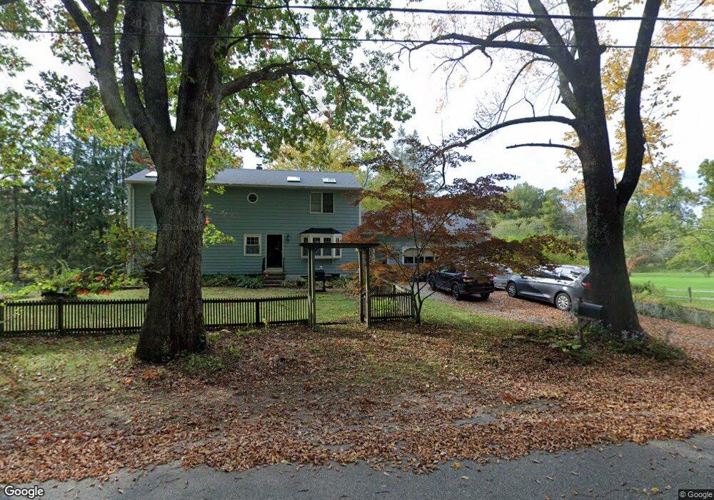
228 Tyott Rd Pomfret Center, CT 06259
Estimated Value: $438,000 - $555,000
4
Beds
2
Baths
2,288
Sq Ft
$212/Sq Ft
Est. Value
About This Home
This home is located at 228 Tyott Rd, Pomfret Center, CT 06259 and is currently estimated at $485,366, approximately $212 per square foot. 228 Tyott Rd is a home located in Windham County with nearby schools including Pomfret Community School.
Ownership History
Date
Name
Owned For
Owner Type
Purchase Details
Closed on
Jun 1, 2001
Sold by
Cartier Paul Joseph and Cartier Mary K
Bought by
Hayes John M and Hayes Michelle A
Current Estimated Value
Home Financials for this Owner
Home Financials are based on the most recent Mortgage that was taken out on this home.
Original Mortgage
$178,100
Interest Rate
7.09%
Create a Home Valuation Report for This Property
The Home Valuation Report is an in-depth analysis detailing your home's value as well as a comparison with similar homes in the area
Home Values in the Area
Average Home Value in this Area
Purchase History
| Date | Buyer | Sale Price | Title Company |
|---|---|---|---|
| Hayes John M | $187,500 | -- |
Source: Public Records
Mortgage History
| Date | Status | Borrower | Loan Amount |
|---|---|---|---|
| Open | Hayes John M | $72,000 | |
| Closed | Hayes John M | $40,000 | |
| Open | Hayes John M | $192,000 | |
| Closed | Hayes John M | $178,100 |
Source: Public Records
Tax History Compared to Growth
Tax History
| Year | Tax Paid | Tax Assessment Tax Assessment Total Assessment is a certain percentage of the fair market value that is determined by local assessors to be the total taxable value of land and additions on the property. | Land | Improvement |
|---|---|---|---|---|
| 2025 | $5,823 | $280,900 | $60,100 | $220,800 |
| 2024 | $8,093 | $173,500 | $58,600 | $114,900 |
| 2023 | $4,641 | $173,500 | $58,600 | $114,900 |
| 2022 | $4,639 | $173,500 | $58,600 | $114,900 |
| 2021 | $4,599 | $173,500 | $58,600 | $114,900 |
| 2020 | $4,530 | $164,000 | $56,100 | $107,900 |
| 2019 | $4,458 | $164,000 | $56,100 | $107,900 |
| 2018 | $4,412 | $164,000 | $56,100 | $107,900 |
| 2017 | $4,745 | $164,000 | $56,100 | $107,900 |
| 2016 | $4,198 | $164,000 | $56,100 | $107,900 |
| 2015 | $4,503 | $178,400 | $70,500 | $107,900 |
| 2014 | $4,249 | $169,100 | $61,200 | $107,900 |
Source: Public Records
Map
Nearby Homes
- 182 Baxter Rd
- 211 New Sweden Rd
- 134 New Sweden Rd
- 70 Brayman Hollow Rd
- 33 Bassett Hill Rd
- 76 Mill Brook Ln
- 140 Ragged Hill Rd
- 104 Pulpit Rock Rd
- 698 Brayman Hollow Rd
- 0 Connecticut 171
- 166 Taft Pond Rd
- 402 Perrin Rd
- 30 Tyrone Rd
- 175 Pulpit Rock Rd
- 172 Peake Brook Rd
- 101 Child Hill Rd
- 5 Woodstock Hills Dr
- 00 Route 171 Unit Lot 1
- 145 Perrin Rd
- 130 Tripp Rd
- 236 Tyott Rd
- 215 Angel Rd
- 225 Angel Rd
- 211 Angel Rd
- 216 Angel Rd
- 205 Angel Rd
- 199 Angel Rd
- 288 W Quasset Rd
- 330 W Quasset Rd
- 289 W Quasset Rd
- 337 W Quasset Rd
- 127 Tyott Rd
- 198 Angel Rd
- 17 Johnson Rd
- 0 Nightengale Rd Unit 170036711
- 0 Nightengale Rd Unit G10193875
- 210 W Quasset Rd
- 20 Johnson Rd
- 10 Johnson Rd
- 359 W Quasset Rd