Estimated Value: $380,000 - $596,548
5
Beds
4
Baths
3,238
Sq Ft
$160/Sq Ft
Est. Value
About This Home
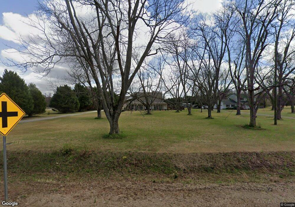
This home is located at 2280 Us Highway 41 N, Perry, GA 31069 and is currently estimated at $517,637, approximately $159 per square foot. 2280 Us Highway 41 N is a home located in Houston County with nearby schools including Langston Road Elementary School, Mossy Creek Middle School, and Perry High School.
Ownership History
Date
Name
Owned For
Owner Type
Purchase Details
Closed on
Aug 21, 2020
Sold by
Figueroa Uriel and Pompa Elizabeth
Bought by
Loera Uriel Figueroa and Loera Elizabeth Pompa
Current Estimated Value
Purchase Details
Closed on
Mar 13, 2007
Sold by
Lopez Alfonso
Bought by
Figueroa Sergio Lopez
Purchase Details
Closed on
Feb 23, 2007
Sold by
Webster Mary
Bought by
Lopez Alfonso
Purchase Details
Closed on
Mar 3, 1986
Sold by
Gay Jackie P
Bought by
Webster Mary
Purchase Details
Closed on
Jan 10, 1985
Sold by
Webster Mary
Bought by
Gay Jackie P
Create a Home Valuation Report for This Property
The Home Valuation Report is an in-depth analysis detailing your home's value as well as a comparison with similar homes in the area
Home Values in the Area
Average Home Value in this Area
Purchase History
| Date | Buyer | Sale Price | Title Company |
|---|---|---|---|
| Loera Uriel Figueroa | -- | None Available | |
| Figueroa Uriel | $62,000 | None Available | |
| Figueroa Sergio Lopez | -- | None Available | |
| Lopez Alfonso | $65,000 | None Available | |
| Webster Mary | $1,400 | -- | |
| Gay Jackie P | $11,500 | -- |
Source: Public Records
Tax History Compared to Growth
Tax History
| Year | Tax Paid | Tax Assessment Tax Assessment Total Assessment is a certain percentage of the fair market value that is determined by local assessors to be the total taxable value of land and additions on the property. | Land | Improvement |
|---|---|---|---|---|
| 2024 | $5,116 | $213,880 | $19,000 | $194,880 |
| 2023 | $3,230 | $133,640 | $18,080 | $115,560 |
| 2022 | $489 | $20,248 | $18,080 | $2,168 |
| 2021 | $267 | $3,953 | $0 | $3,953 |
| 2020 | $318 | $3,953 | $0 | $3,953 |
| 2019 | $412 | $3,473 | $0 | $3,473 |
| 2018 | $412 | $3,473 | $0 | $3,473 |
| 2017 | $413 | $3,473 | $0 | $3,473 |
| 2016 | $413 | $3,473 | $0 | $3,473 |
| 2015 | $413 | $16,844 | $11,640 | $5,204 |
| 2014 | -- | $16,888 | $11,640 | $5,248 |
| 2013 | -- | $16,896 | $11,640 | $5,256 |
Source: Public Records
Map
Nearby Homes
- 124 Lake Lillian Dr
- 204 Chimney Rock Rd
- 502 Arons Ct
- 2360 U S 41
- 161 Overton Dr
- 309 Bermuda Ridge
- 220 Overton Dr
- Savannah Plan at Bankstone Landing
- Newport Plan at Bankstone Landing
- Delaware Plan at Bankstone Landing
- 219 Overton Dr
- 111 Breakwater Way
- 107 Breakwater Way
- 103 Breakwater Way
- 0 Hwy 41 & Langston Rd Unit M170042
- 118 Bramblewood Way
- 128 Bramblewood Ln
- 124 Bramblewood Ln
- 0 Langston Rd Unit 16828609
- 210 Overton Dr
- 2280 U S 41
- 2278 Us Highway 41 N
- 2282 Us Highway 41 N
- 2272 Us Highway 41 N
- 2281 Us Highway 41 N
- 126 Lake Lillian Dr
- 122 Lake Lillian Dr
- 138 Lake Lillian Dr
- 128 Lake Lillian Dr
- 120 Lake Lillian Dr
- 136 Lake Lillian Dr
- 2271 Us Highway 41 N
- 130 Lake Lillian Dr
- 118 Lake Lillian Dr
- 134 Lake Lillian Dr
- N U S 41
- 101 Todd Rd
- 132 Lake Lillian Dr
- 116 Lake Lillian Dr
- 123 Lake Lillian Dr